In this era of smart phones and wireless connectivity, we know where things are (at least in a global sense). With GPS, you can know exactly where you are on the face of the earth with respect to both the equator and the Greenwich meridian used as the point of reference—the 0—from which all other longitudes are measured. Map applications can tell you the location of your favorite restaurant to six decimal places.
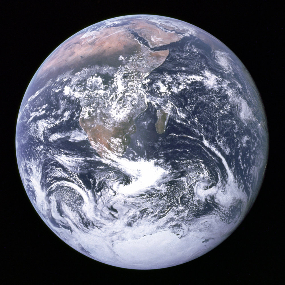
Globes, atlases, and road maps—the best geographical resources of the 20th century—seem quaint and low-tech. Even orbital images of the earth are now commonplace. The famed “Blue Marble” photograph taken by Apollo 17 in 1972 is now 45 years old. But what is quaint and old fashioned now, was once the very cutting edge of science and technology.

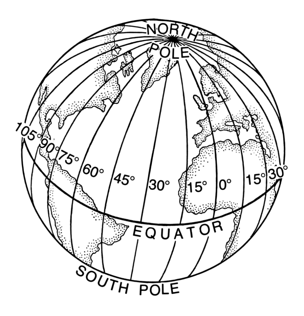
Latitude—the measurement of distance from equator to pole (measured in degrees)—is easy to define and determine: how far north or south of the equator can be measured by looking at the height of celestial objects. The poles define two possible extremes, the equator, a natural center.
Longitude, however, is not so easy. Longitude is the measurement east or west of some defined point. There is no natural landmark from which to determine longitude—no equator or pole to set the 0 point—which is why longitude was historically measured from different points by different people. The international standard now is the Greenwich meridian in Greenwich, England, just east of London. Part of the reason that this is the standard has to do with one of the great scientific/technological problems of an earlier age.
In the age of sailing ships, the ability to determine longitude was often a matter of life or death, and the practical solution to the problem of longitude was one of the great scientific/technological discoveries that shaped our world. That the first practical solution was created by an Englishman surely contributed to the rise of the British Empire and the ultimate international standard for longitude—the 0 point from which all distances are measured—being located just outside the British imperial capital.
Dava Sobel’s book Longitude tells the story of the problem of longitude and the development of the first practical solution—John Harrison’s “chronometer”—which he constructed in the middle of the 18th century. It was a time piece so accurate that it could be used to determine longitude—so accurate that after months at sea, it would still tell the proper time at the Greenwich meridian, and thus could be used to determine how far a ship was east or west of Greenwich by comparing local noon with Greenwich noon. It was a tool that, as it was replicated, changed sailing, and led to newer, more accurate maps—maps that, unlike maps of previous eras, started to more closely resemble the maps we use today because the means to accurately measure longitude had been discovered.