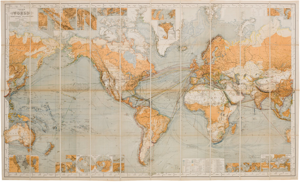
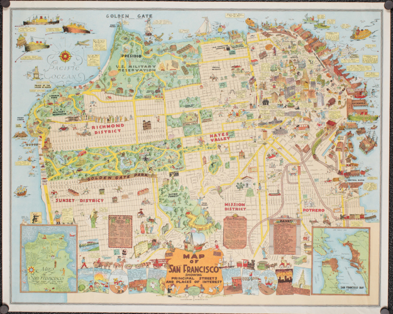
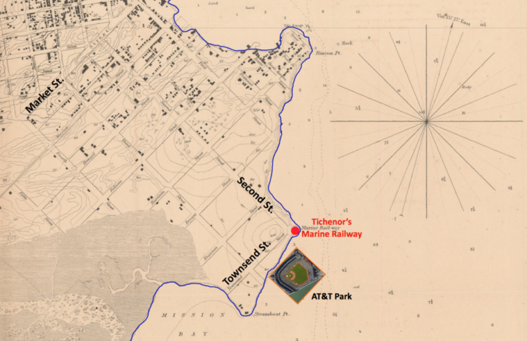
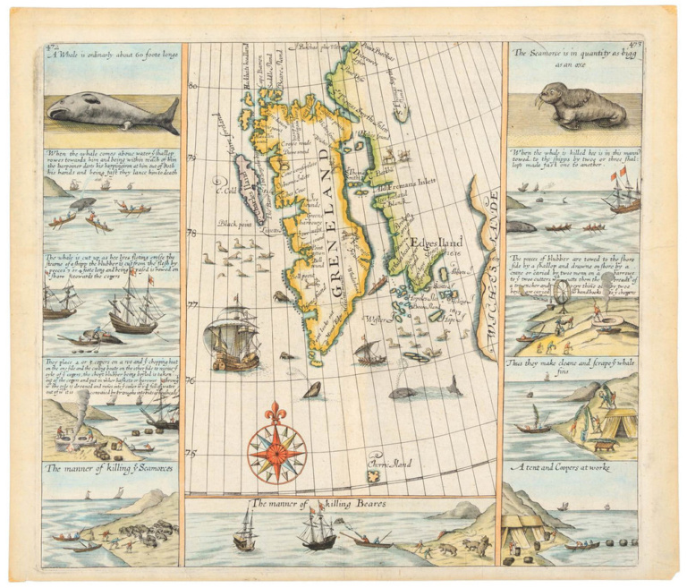
Maps play many roles: introducing newly discovered lands, illustrating battle scenes, guiding ship captains through treacherous waters, and more. Beginning in the second half of the 19th century, we start to see maps become a type of visual encyclopedia, jam-packed with information. A good example is this world map on Mercator’s Projection, published in Germany.

This is a map that tells the story of the geography of the world alongside the expanding technological and commercial reach of human populations; among the many subjects presented are steamship lines and routes, drift ice, sailing routes, telegraph lines, wind course directions, and ocean currents.


