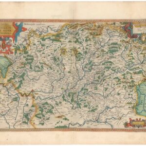
Detailed 1709 Schenk map of France with provincial shields and interesting manuscript notations on the verso.
Galliae Regnum in Omnes suas Provincias Accurate Divisum
Out of stock
Description
Map of France divided into twelve ancient gouvernemens, with the armorial shields of the provinces at the right of the map, along with additional information.
Published by Schenk, based on a map by De l’Isle.
The verso is filled with interesting manuscript notations in lovely cursive writing, including notes on the French Revolution and possibly a ledger of some sort.
Cartographer(s):
Pieter Schenk the Elder (1660-1711) was a Dutch printer and engraver who moved to Amsterdam in 1675. Some twenty years later, he managed to acquire map plates from the estate of mapmaker Johannes Janssonius. Using these as templates, Schenk began specializing in the engraving and printing of maps and prints.
During his most productive period, Schenk worked in multiple languages and published both in Amsterdam and Leipzig. He also supplied his materials to the English market through dealers in London. Upon his death in 1711, the business was split between Schenk’s three sons. While Peter the Younger continued the business in Leipzig, Leonard and Jan ran the Amsterdam outfit.
Condition Description
Very good.
References
![[Large French Manuscript World Map].](https://neatlinemaps.com/wp-content/uploads/2025/12/NL-02491_thumbnail-300x300.jpg)
![[1838 Republic of Texas manuscript document detailing the votes for elected office, including President].](https://neatlinemaps.com/wp-content/uploads/2023/06/NL-01852-front_thumbnail-300x300.jpg)

