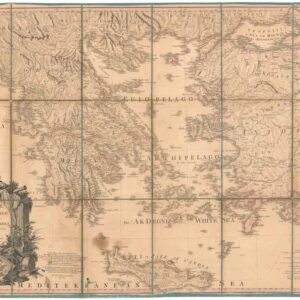
1887 color lithograph map of Corfu with detailed insets and original case.
Originalkarte der Insel Korfu auf Grund der Englischen Aufnahme und nach eigenen Untersuchungen entworfen u. gezeighnet von Prof J. Partsch.
Out of stock
Description
German map of the island of Corfu, dissected and laid on linen and matted on stiff calico backing cloth. Based on an English survey, it was issued by the famous German publishing firm, Justus Perthes Geographische Anstalt Gotha.
The map features three detailed insets: geology of the island, population density of the island, and a town plan of Corfu itself and environs.
Cartographer(s):
Condition Description
Excellent. The inside paper of the cover binding is split at the hinge. Otherwise in fine condition. Two faint brown stains on the front cover. This has not affected the map itself.
References
![Dalmatia maritima [2 sheets].](https://neatlinemaps.com/wp-content/uploads/2024/08/NL-02219-merged_thumbnail-300x300.jpg)
![Fortezza di Soppoto [Albania].](https://neatlinemaps.com/wp-content/uploads/2023/05/NL-01333_thumbnail-300x300.jpg)