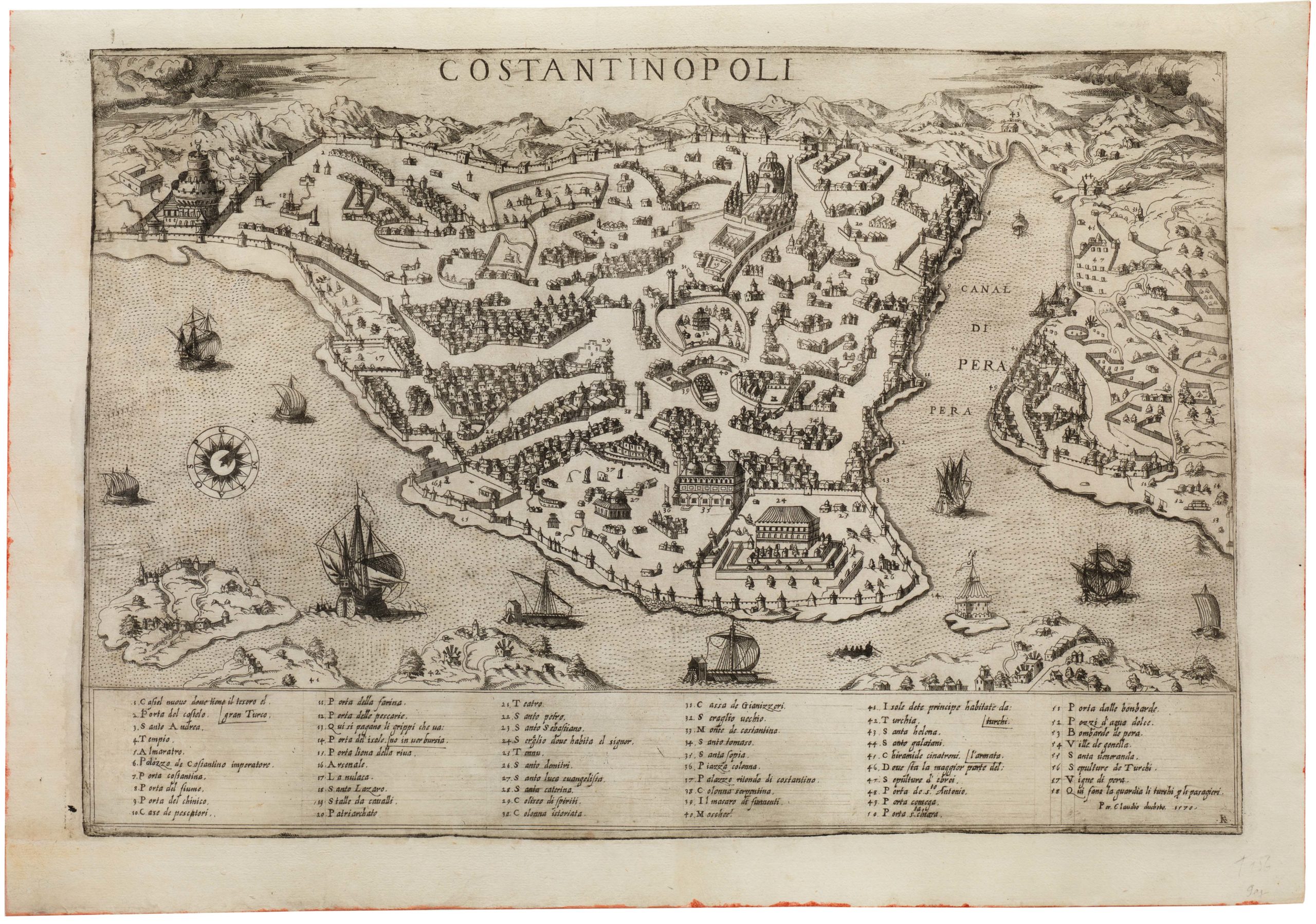
The first English map to offer a detailed view of the Ottoman Empire.
The Turkish Empire. Newly Augmented by John Speed.
$2,700
1 in stock
Description
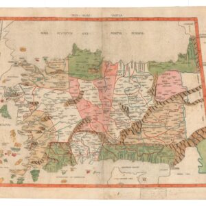
This decorative example of John Speed’s map of the Ottoman or Turkish Empire is the first map of this region published in England. The map covers the empire in its entirety, from the Caspian Sea and Safavid Persia in the east to Tunisia and Sicily in the west, and including the entire Arabian Peninsula (except for the northeastern corner of Oman). In the center of the composition is the Holy Land, not the Ottoman capital of Istanbul, revealing that the map has been embedded with a distinctly European perspective.
The map draws heavily on the template of J. Hondius’ map of the Ottoman Empire from 1606. Yet Speed distinguishes his chart from that of his predecessor by converting it into the carte-des-figures type map that is so characteristic of Speed’s oeuvre. In a bar running across the top of the map, we find eight vignette views of great Ottoman cities. From left to right, these are Famagusta, Damascus, Cairo, Jerusalem, Constantinople, Rhodes, Alexandria, and Hormuz.
Flanking the map on both sides are depictions of five subsets of peoples, in traditional garb, that reside within the Ottoman Empire. Interestingly, the left side has been allocated to male figures (a Greek, an Egyptian, an Assyrian, an Arabian, and a Persian), whereas the right flank has matching female figures, each labeled ‘his wife.’
The interior is bustling with engraved details, including mountains, rivers, lakes, and deserts. Throughout towns and toponyms abound. In the blank areas of the map, there are annotations describing phenomena or geographic relationships and contextualizing the visual of the map itself. In the lower-left corner is an elaborate cartouche naming Speed as the cartographer, showing the original 1626 date of the plate’s first engraving.
Census
John Speed’s fine map of the Turkish empire was originally engraved in 1626 and published in the Prospect of the Most Famous Parts of the World the following year. After Speed’s death, his plates passed through several hands before finally being acquired by Thomas Bassett and Richard Chiswell, who used them to publish their edition of Speede’s atlas in 1676. The example on offer here dates to this second edition, as confirmed by the imprint associating it with Roger Rea (rather than Humble).
Cartographer(s):
John Speed (1552-1629) was a prominent English mapmaker and historian operating in the late 16th and early 17th centuries. Born in Farndon, Cheshire, Speed’s interest in maps and geography led him to establish himself as a successful mapmaker and publisher in London. He gained widespread recognition for his detailed and beautifully illustrated maps of various regions, earning him the sobriquet “the leading London cartographer” of the Baroque period.
One of Speed’s most notable works is The Theatre of the Empire of Great Britaine, published in 1611. This ambitious atlas consisted of detailed maps of counties and cities across England, Wales, Scotland, and Ireland, accompanied by historical descriptions and genealogical tables. The atlas was not only a cartographic achievement but also a significant historical record of the British Isles during that era. Speed’s maps were praised for their accuracy and artistic flair, often featuring decorative elements and engravings of notable landmarks and figures. When it came to Britain’s colonial aspirations, Speed was instrumental in visualizing the empire cartographically.
Both during his life and after it, John Speed’s maps enjoyed widespread popularity and were sought after by nobility and scholars alike. Speed reached the ripe age of 77, and his maps were re-published for more than a century after his death. His legacy as a key figure in the development of English cartography endures to this day.
Condition Description
Very good. Expertly backed.
References