-
-
Add to cart
 Quick View
 - East & Midwest United States, Featured Maps & Views
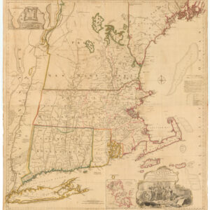
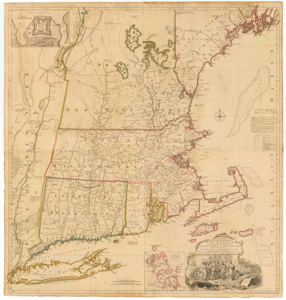
A MAP of the most INHABITED part of NEW ENGLAND, containing the PROVINCES of MASSACHUSETS BAY and NEW HAMPSHIRE, with the COLONIES of KONEKTIKUT AND RHODE ISLAND…
- $45,000
- Unobtainable first state of one of the most influential maps of New England ever made.
-
-
-
-
-
Add to cart
 Quick View
 - East & Midwest United States, Featured Maps & Views, United States
Gettysburg Battle-Field.
- $2,400
- Bachelder's iconic 1863 view of the Battle of Gettysburg.
-
-
-
-
Add to cart

 Quick View
 - Asia, Featured Maps & Views, Southeast Asia & Australia
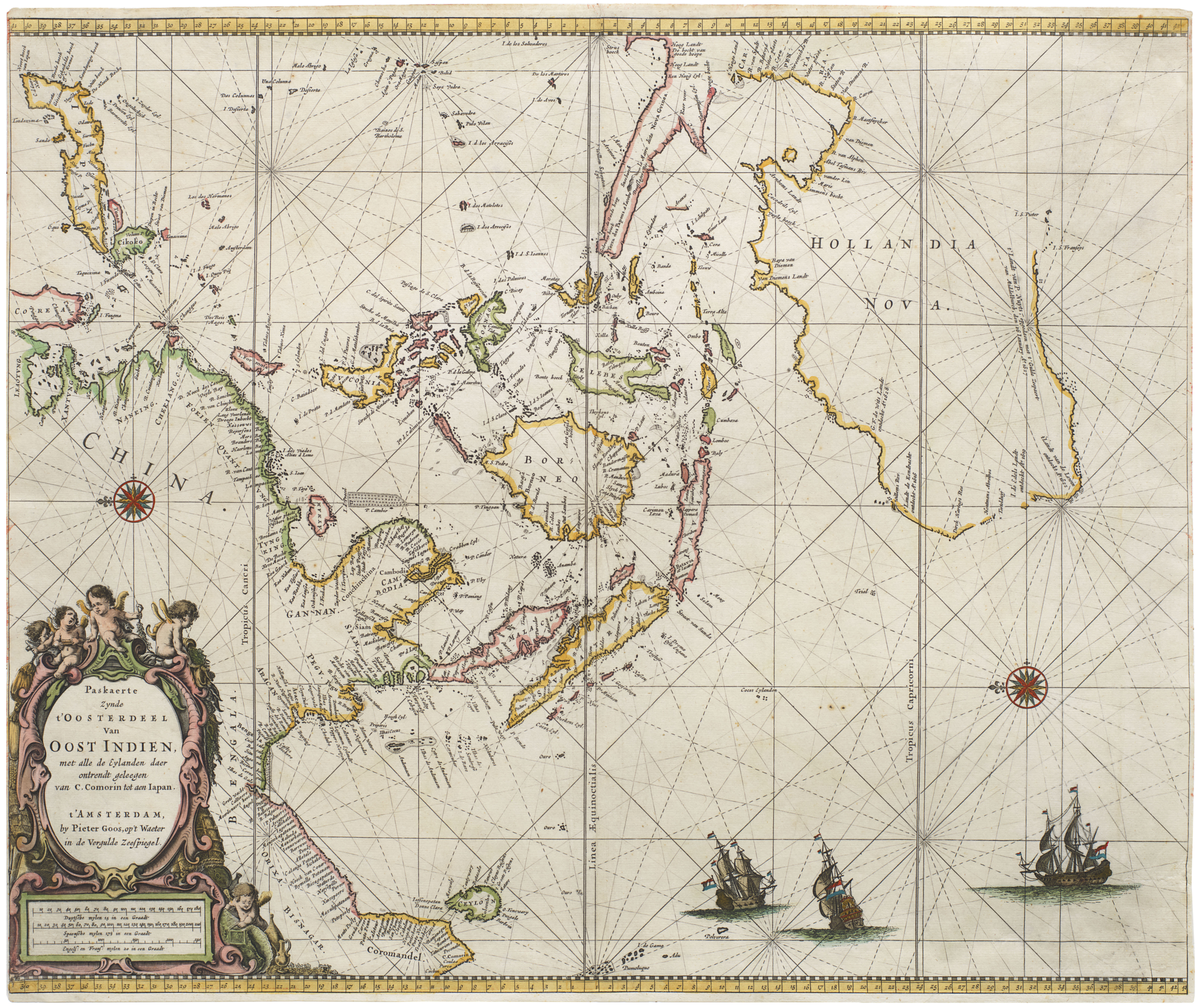
Paskaerte Zynde t’Oosterdeel van Oost Indien, met Alle de Eylanden daer Ontrendt Geleegen van C. Comorin tot aen Japan
- $6,500
- [Early color] Pieter Goos’ Striking Sea Chart of Southeast Asia, Australia, and the Indian Ocean.
-
-

-
-
-
Add to cart
 Quick View
 - Americas, Featured Maps & Views, North America
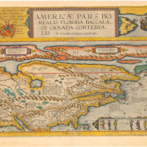
Americae Pars Borealis, Florida, Baccalaos, Canada, Corterealis. A Cornelio de Iudaeis in luce edita.
- $34,000
- The first printed folio map of North America and the most iconic American chart of the 16th century.
-
-
-
-
Add to cart
 Quick View
 - Featured Maps & Views, United States, Texas and The West
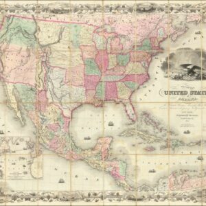
Map of the United States of America, The British Provinces, Mexico, The West Indies and Central America, with part of New Granada and Venezuela.
- $8,500
- A First State of Colton's Map of the United States with Texas extending into Colorado.
-
-
-
-
Add to cart
 Quick View
 - World, Featured Maps & Views, Polar - Arctic
Hemispheriu Ab Aequinoctli Linea, Ad Circulu Poli Arctici/ Hemispheriu Ad Circulu Poli Atarctici.
- $57,500
- A superb example of De Jode’s seminal polar projection of the world.
-
-
-
-
Add to cart
 Quick View
 - California, Featured Maps & Views, Michael's Collection, San Francisco
Portola Festival. San Francisco Oct. 22-25, 1913.
- $6,500
- Original artwork for the 1913 Portola Festival - a unique piece of San Franciscana.
-
-
-
-
Add to cart
 Quick View
 - Featured Maps & Views, United States
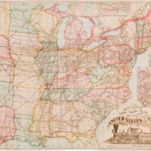
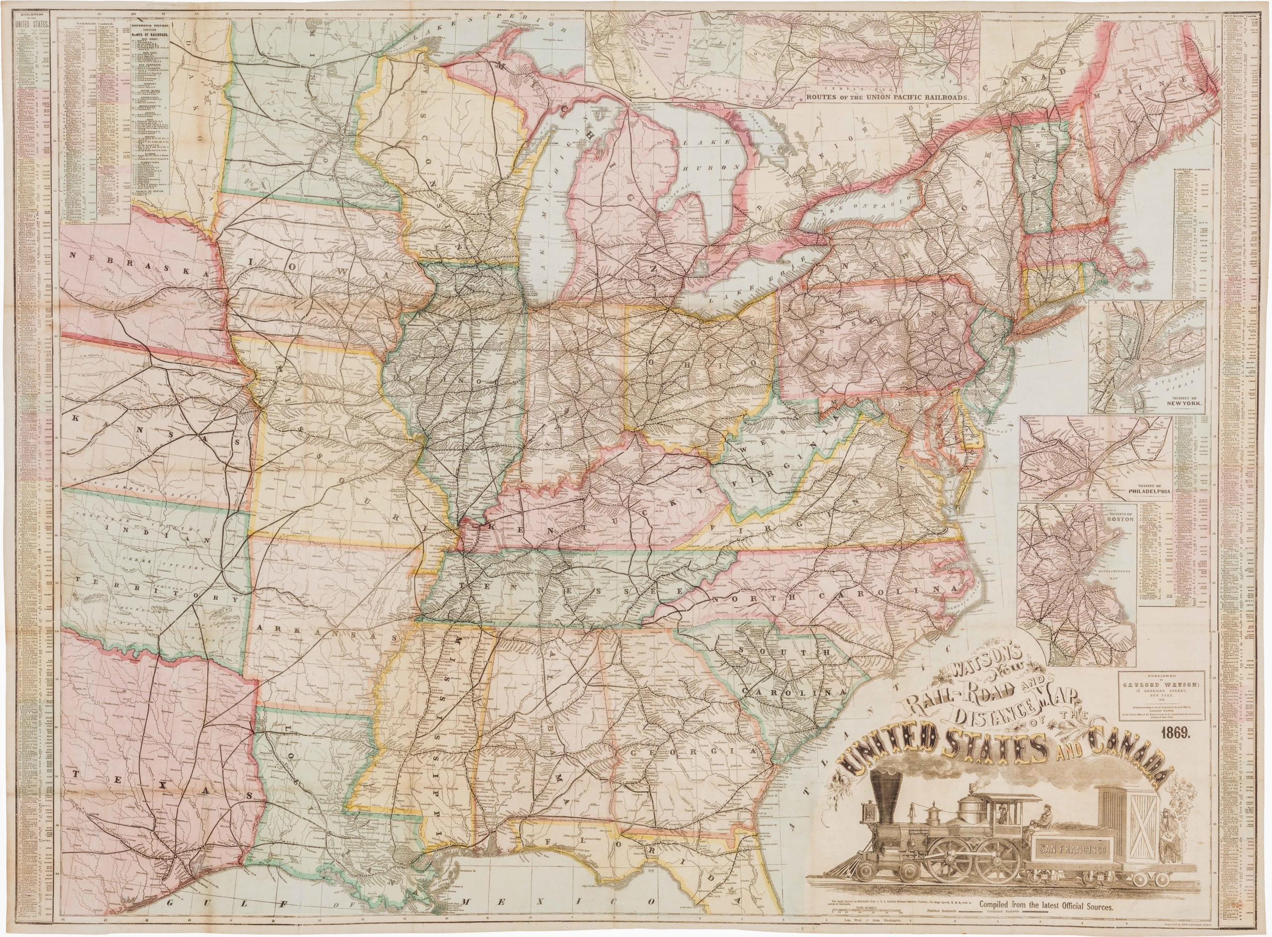
Watson’s New Rail Road and Distance Map of the United States and Canada.
- $3,800
- Among the finest railroad maps of America made in the 19th century.
-
-

-
-
-
Add to cart
![[Arabian Peninsula] Tabula Sexta de Asia.](https://neatlinemaps.com/wp-content/uploads/2024/03/NL-02008-NEW_thumbnail-300x300.jpg) Quick View
Quick View - Arabia and the Red Sea, Featured Maps & Views, Middle East - Holy Land Maps
[Arabian Peninsula] Tabula Sexta de Asia.
- $75,000
- 1482 Berlinghieri map of Arabia, showing the Holy Cities of Mecca and Medina and the first depictions of Qatar and the United Arab Emirates.
-
-
-
-
Add to cart
 Quick View
 - Celestial charts, Featured Maps & Views, Michael's Collection
Globi coelestis in tabulas planas redacti descriptio, auctore R. P. Ignatio Gastone Pardies Societatis Jesu mathematico. Opus postumum
- $12,500
- One of the rarest sets from the Golden Age of celestial cartography.
-
-
-
-
Add to cart
 Quick View
 - Michael's Collection, Featured Maps & Views, United States, East & Midwest United States, Bird's-eye-views
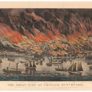
The Great Fire at Chicago. Octr. 8th 1871.
- $8,500
- Currier & Ives 1871 Great Chicago Fire.
-
-
-
-
Add to cart
 Quick View
 - Michael's Collection, San Francisco
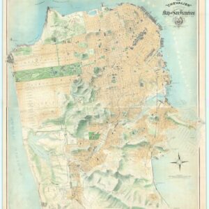
The “Chevalier” Commercial, Pictorial and Tourist Map of San Francisco From Latest U.S. Gov. and Official Surveys.
- $49,500
- The greatest San Francisco map ever made.
-
-
