-

World War I and World War II (12)
Antique maps and views related to World War I & World War II. -
-
Add to cart
- Europe, British Isles, Pictorial maps, Rare City Plans
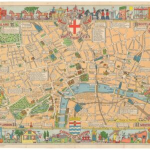
County of London (Children’s Map of London).
- $475
- A rare early edition of the Children's Map of London.
-
-
-
-
Add to cart

- Bird's-eye-views, Italy
Venetia.
- $2,700
- Gorgeous 1577 Braun & Hogenberg bird's-eye-view of Venice.
-
-
-
-
-
Add to cart
- Pictorial maps, United States
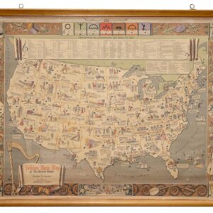
Folklore Music Map of the United States.
- $975
- A fantastic folklore map of America.
-
-
-
-
Add to cart
- Eastern Mediterranean - Holy Land, Pictorial maps, Wall maps
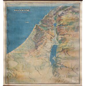
Palestine in Third Dimension.
- $1,600
- A Spectacular World War II-era View of the Holy Land.
-
-
-
-
Add to cart
- North America, Wall maps
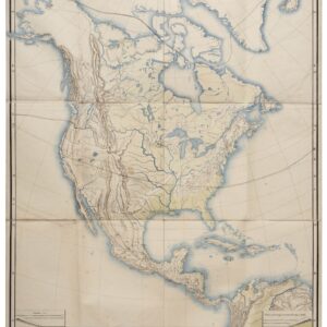
Nord-Amerika.
- $1,900
- Von Sydow’s geophysical wall map of North America.
-
-
-
-
Add to cart
- World, World War I and World War II
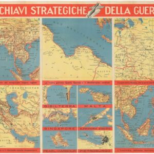
Le Chiavi Strategiche Della Guerra.
- $275
- A rare Italian mapping of World War II’s global battlefield.
-
-
-
-
Add to cart
![[Persuasive Cartography] Ubootswirkung im Mittelmeer.](https://neatlinemaps.com/wp-content/uploads/2024/05/NL-01997_thumbnail-300x300.jpg)
- Europe, World War I and World War II
[Persuasive Cartography] Ubootswirkung im Mittelmeer.
- $1,900
- World War I propaganda map of German submarine attacks.
-
-
-
-
Add to cart
- Bird's-eye-views, San Francisco, San Francisco Bay Area & Silicon Valley
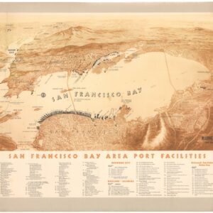
San Francisco Bay Area Port Facilities.
- $1,200
- A rare and splendid mid-century bird’s-eye-view highlighting maritime infrastructure in the Bay Area.
-
-
-
-
Add to cart
- Bird's-eye-views, Railroad Maps, Texas and The West
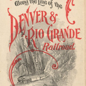
Panoramic Views Along the Line of the Denver & Rio Grande Railroad. The Scenic Line of the World.
- $400
- The Scenic Route through the Rockies.
-
-
-
-
Add to cart

- Marin, Sonoma, & Napa Valley, Wall maps
Official Map of Marin County, California 1892 Compiled from Records and Surveys.
- $8,500
- Dodge's monumental 1892 wall map of Marin County: the greatest Marin map ever made.
-
-
-
-
Add to cart

- California, Gold Rush maps, Texas and The West, United States
Map of the United States Mexico &c. Showing the various Land and Water Routes from the Atlantic Cities to California
- $750
- A scarce map from the early days of the Gold Rush.
-
-
-
-
Add to cart
- California, Rare City Plans
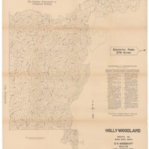
Hollywoodland, Tracts No. 6450 9367 9594.
- $1,800
- The birth of one of L.A.'s most iconic neighborhoods.
-
-