-
- Add to cart
- Germany & the Netherlands
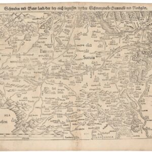
Schwaben und Baierland dar bey auch begriffen erzen Schwartzwald Otenwald und Nordgoew.
- $100
- One of the earliest printed maps of southern Germany.
-
- Add to cart
- Germany & the Netherlands
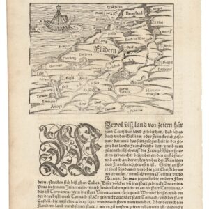
Von Dem Land Flandern.
- $150
- One of the earliest printed maps of Flanders.
-
- Add to cart
- Germany & the Netherlands
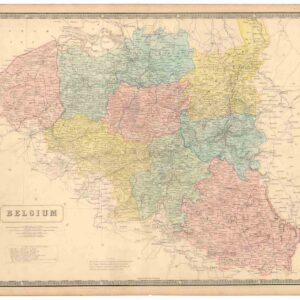
Belgium.
- $145
- Belgium, After Independence.
-
- Add to cart
- Germany & the Netherlands
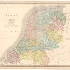
Holland (Koningrijk der Nederlanden).
- $145
- Dissolution and Continuity.
-
- Add to cart
- Germany & the Netherlands, Iceland & Scandinavia
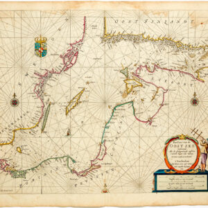
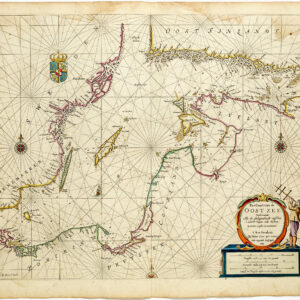
Pas-caart van de Oost zee verthoonende alle de ghelegntheydet tusschen t Eÿlandt Rugen end Wÿborg
- $975
- Striking, original-color nautical chart of the Baltic Sea by Pieter Goos.
-
- Add to cart
- World, Germany & the Netherlands, Rare Maps of Curiosities - Miscellanea, Atlases & Books
[Ortelius & Hogenberg Atlas Factice]
- $39,500
- A fantastic composite atlas from the apex of the Dutch Golden Age of cartography focused on the emergent Republic of the United Netherlands.
-
- Add to cart
- Featured Maps & Views, Germany & the Netherlands, Russia & Eastern Europe
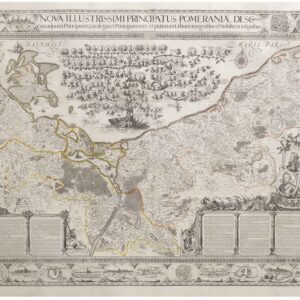
Nova Illustrissimi Principatus Pomeraniae Descriptio
- $27,000
- An exceptionally rare cartographic masterpiece — the finest and most important map of Pomerania, the plates of which were rediscovered in an attic after lost during the Thirty Years’ War.
-
- Add to cart
- Germany & the Netherlands, Wall maps
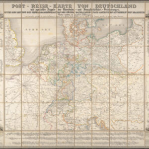
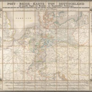
Post-Reise-Karte von Deutschland mit spezieller Angabe der Eisenbahn- und Dampfschiffahrt-Verbindungen, unter der Leitung der Generaladministration der Königl. Bayer. Posten nach amtlichen Mittheilungen bearbeitet. Carte routi’ere et postale de l’Allemagne.
- $650
- A large-format 1843 post-road and transportation map of the German Confederation.
![[Ortelius & Hogenberg Atlas Factice]](https://neatlinemaps.com/wp-content/uploads/2023/03/NL-01678-leo-belgicus-3_thumbnail-300x300.jpg)
