-
- Add to cart
- San Francisco Bay Area & Silicon Valley
[Bay Area Road Atlas] Auto Roads of San Francisco and Oakland to Monterey and Santa Cruz.
- $2,800
- A pioneering road atlas covering the Bay Area and Monterey.
-
- Add to cart
- Bird's-eye-views, San Francisco, San Francisco Bay Area & Silicon Valley
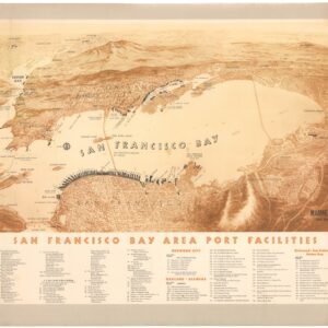
San Francisco Bay Area Port Facilities.
- $1,200
- A rare and splendid mid-century bird’s-eye-view highlighting maritime infrastructure in the Bay Area.
-
- Add to cart
- San Francisco Bay Area & Silicon Valley
[Forty-four photographs of shipbuilding in Oakland, California, 1918-1919.]
- $925
- A unique collection of photographs documenting World War I shipbuilding activities at Oakland Harbor.
-
- Add to cart
- San Francisco Bay Area & Silicon Valley
[Oil Painting of Lake Merritt, Oakland]
- $14,500
- The earliest known view of Oakland’s Lake Merritt.
-
- Add to cart
- San Francisco Bay Area & Silicon Valley
Album of photographs of commercial and residential properties in Berkeley, California.
- $1,250
- A fascinating documentation of Berkeley in the 1930s.
-
- Add to cart
- San Francisco, San Francisco Bay Area & Silicon Valley, World War I and World War II
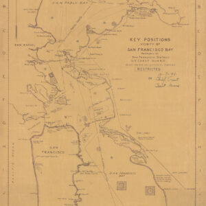
Key Positions, Vicinity of San Francisco Bay.
- $800
- Coast Guard Defense Map of the San Francisco Bay on the Eve of Pearl Harbor.
-
- Add to cart
- San Francisco Bay Area & Silicon Valley
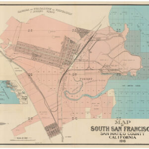
Map of South San Francisco, San Mateo County, California.
- $1,600
- A large-format urban plan of South San Francisco.
-
- Add to cart
- San Francisco Bay Area & Silicon Valley
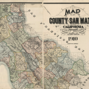
Map of the County of San Mateo California Compiled from the County Records by Davenport Bromfield, Civil Engineer, Ex-County Surveyor, 1910.
- $8,000
- Before Silicon Valley: a stunning, large-scale 1910 map of San Mateo County.
-
- Add to cart
- Pictorial maps, San Francisco Bay Area & Silicon Valley
Being a map of central California, showing some of the people, places and events that had to do with our early days. Wells Fargo Bank & Union Trust Co., San Francisco, Established 76 years ago, in 1852
- $1,900
- An unrecorded 1928 Wells & Fargo promotional map showing important people, places, and events in California history.
-
- Add to cart
- San Francisco, San Francisco Bay Area & Silicon Valley
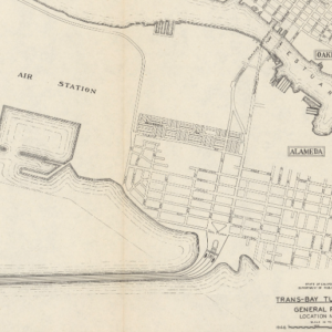
Trans-Bay Tube Study General Plan Location no. 12
- $550
- The first tube across San Francisco Bay?
-
- Add to cart
- San Francisco Bay Area & Silicon Valley
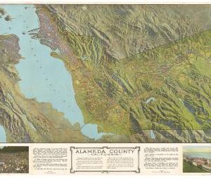
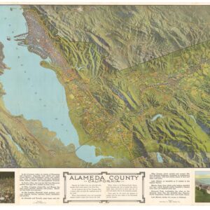
Alameda County
- $975
- A most unusual bird's-eye-view pamphlet of Alameda County and the Greater Bay Area during a pivotal period in California's history.
-
- Add to cart
- San Francisco Bay Area & Silicon Valley
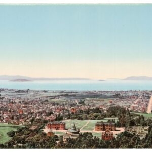
The Golden Gate from Berkeley Heights
- $2,200
- William Henry Jackson’s panoramic photochrom of Berkeley and the Bay Area at the dawn of the 20th century.
![[Bay Area Road Atlas] Auto Roads of San Francisco and Oakland to Monterey and Santa Cruz.](https://neatlinemaps.com/wp-content/uploads/2024/05/NL-01940_thumbnail-300x300.jpg)
![[Forty-four photographs of shipbuilding in Oakland, California, 1918-1919.]](https://neatlinemaps.com/wp-content/uploads/2024/05/NL-01826-3_thumbnail-300x300.jpg)
![[Oil Painting of Lake Merritt, Oakland]](https://neatlinemaps.com/wp-content/uploads/2024/05/NL-01966_thumbnail-300x300.jpg)

