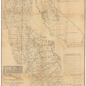
A large-format urban plan of South San Francisco.
Map of South San Francisco, San Mateo County, California.
$1,600
1 in stock
Description
A fascinating and rare plan of South San Francisco compiled and drawn by the Punnett Brothers and lithographed by the Halpin Lithograph Company.
The site of South San Francisco was selected by G. F. Swift and purchased by Peter Iler of Omaha in 1890 in order to replicate the cattle stockyards and marketplaces common in Omaha. They partnered with some Chicago backers and formed two joint stock corporations, one named South San Francisco Land and Improvement Company, while the other branch was known as the Western Meat Company.
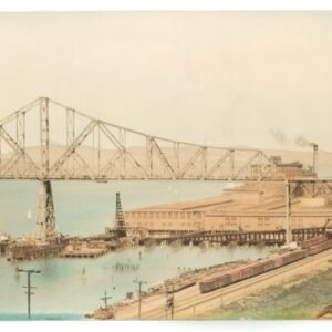
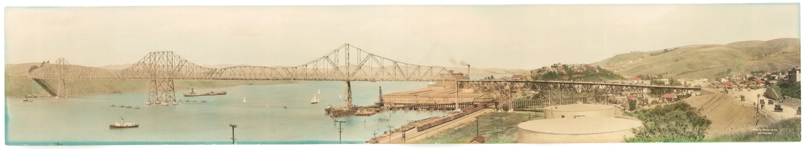
The city’s manufacturing roots and industrial character are evident on the map. The Western Meat Company holds several large tracts of land for its stockyards and slaughterhouse. But the extensive variety of industries stands out, and we see iron works, smelting operations, pottery and brick productions, and more.
The map gives the impression of a constantly changing settlement and physical environment, with new railroads, tide lots, shrinking estuaries, and new canals and reservoirs. Many of the factories were linked both inland via the South San Francisco Land & Improvement Company railroad and to the bay via newly constructed ferry slips.
Census
This is only the second example of this map of which we are aware. No copies of the map are located by OCLC/WorldCat. The only institutional holding we found is Rumsey #10747.
Cartographer(s):
The Halpin Lithograph Company was a printing house based in San Francisco that was active around the turn of the twentieth century.
Punnett BrothersThe Punnett Brothers were map publishers based in the San Francisco Bay Area during the late 19th and early 20th centuries. Noted for their detailed depictions of the region, their maps, especially those concerning San Francisco and its environs, serve as pivotal resources for historians and urban researchers.
Many of the maps produced by the Punnett Brothers showcase intricate street layouts, building footprints, and land-use designations of the era. These illustrations provide invaluable insights into the urban development patterns and transformative shifts that occurred as San Francisco underwent rapid growth.
The maps curated by the Punnett Brothers stand as a testament to the changing landscape and infrastructural evolutions of the Bay Area during a time of great change. For scholars and enthusiasts of historical cartography focusing on the Bay Area, the Punnett Brothers’ collections remain an indispensable reference.
South San Francisco Land & Improvement Co.Condition Description
Good. Some wear along fold lines. Previous repair in margin towards bottom-left.
References