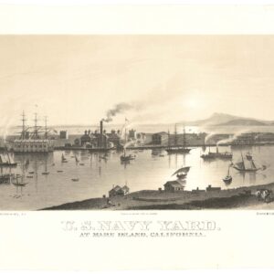
1915 map of Solano county with Sonoma, Napa, and Vallejo town-plans.
Denny’s pocket map of Solano County, California. Compiled from latest official and private data.
$200
1 in stock
Cartographer(s):
Edward Denny & Co.
Date:
1915
Place:
San Francisco
Dimensions:
49.5 x 61.8 cm (19.5 x 24.3 in)
Description
Map of Solano County, at the northeast corner of the Bay Area. Includes city grids of Sonoma, Napa, and Vallejo, along with important rancho and transportation information.
Census
OCLC/WorldCat lists five copies, one at the University of California Berkeley, one at Yale University, and three, apparently, at the University of California Davis.
Cartographer(s):
Condition Description
Small hole at lower right neat line; missing its original booklet.
References