
Edward Denny & Co. was a San Francisco map publishing firm active in the first decades of the twentieth century, producing a systematic series of pocket maps covering California’s counties. Operating from their Shotwell Street address in the Mission District, the company compiled their maps from General Land Office survey data, county records, railroad surveys, and private sources, reproducing them by the blue-line (blueprint) process. This process was an economical reproduction method that allowed for precise, fine-line detail at low cost and was well suited to the scale and complexity of county land maps.
The firm’s California county series was widely used by land agents, attorneys, ranchers, and the growing class of automobile tourists beginning to explore the state’s interior.
-
-
Add to cart
 Quick View
- California
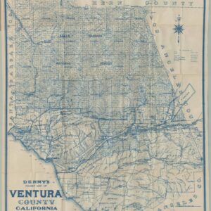
Denny’s Pocket Map of Ventura County, California Compiled From The Latest Official and Private Data.
- $675
- Spanish Land Grants and California Crude: The 1913 Denny and Co. Blue-Line Survey of Ventura County.
-
-
-
-
Add to cart
 Quick View
- California
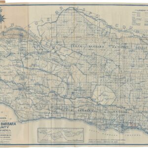
Denny’s Pocket Map of Santa Barbara County, California Compiled From The Latest Official and Private Data.
- $875
- 1916 Edward Denny & Co. Blue-Line Pocket Map of Santa Barbara County, California.
-
-
-
-
Add to cart
 Quick View
- Bay Area & Silicon Valley, California
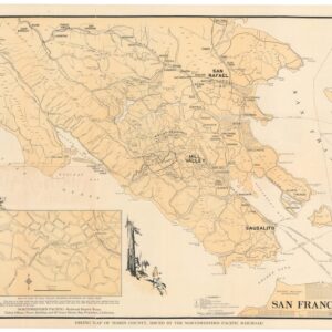
Hiking map of Marin County.
- $675
- 1930 Northwestern Pacific Railroad promotional hiking map of Marin County.
-
-
-
-
Add to cart
 Quick View
- Bay Area & Silicon Valley
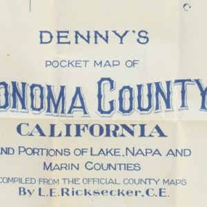
Denny’s pocket map of Sonoma County, California and portions of Lake, Napa and Marin counties. Compiled from the official county maps by L.E. Ricksecker, C.E.
- $200
- 1907 blue-line lithograph of Sonoma County.
-
-
-
-
Add to cart
 Quick View
- Bay Area & Silicon Valley
Denny’s pocket map of Solano County, California. Compiled from latest official and private data.
- $200
- 1915 map of Solano county with Sonoma, Napa, and Vallejo town-plans.
-
-
Archived
- Out of Stock


- California
Map of California Roads For Cyclers [with Cycling Atlas]
- A rare and beautiful map of cycling routes in California from America's Gilded Age cycling boom.
- Read moreQuick View
-