-
- Add to cart
- Arabia and the Red Sea, Middle East - Holy Land Maps
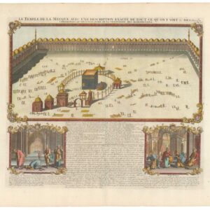
Le Temple de la Mecque avec une description exacte de tout ce qu’on y voit & des Ceremonies qu’on y fait, tiré de la tradition des mahometans.
- $2,200
- Chatelain’s beautiful and early view of Mecca.
-
- Add to cart
- Arabia and the Red Sea, Middle East - Holy Land Maps
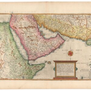
Secundae Partis Asiae.
- $7,000
- De Jode's extraordinary map of Arabia -- among the finest maps of the region on the market.
-
- Add to cart
- Arabia and the Red Sea, Iran - Persia - Central Asia
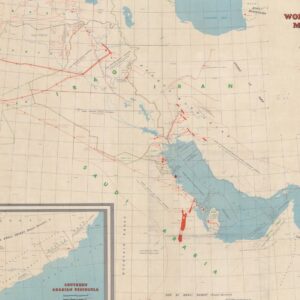
World Oil’s 1958 Middle East Oil Map
- $2,800
- World Oil’s iconic map of the Middle Eastern Petroleum Concessions and Infrastructure.
-
- Add to cart
- Arabia and the Red Sea, Turkey - Ottoman Empire
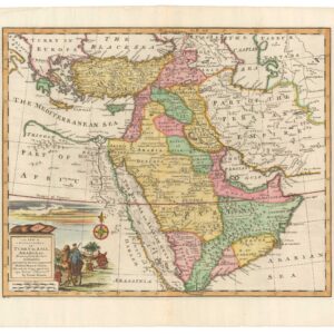
A New & Accurate Map of Turky in Asia, Arabia &c…
- $600
- Emanuel Bowen’s decorative 18th-century folio-map of the Ottoman Empire and the greater Middle East.
-
- Add to cart
- Africa, Arabia and the Red Sea
[With Extensive Contemporary Annotations] Ordnance Survey of the Peninsula of Sinai Made in 1868-9 By Captains C.W. Wilson, and H.S. Palmer, R.E. Under The Direction of Major-General Sir Henry James, R.E. F.R.S. &c. Director of the Ordnance Survey
- $3,500
- The difficult merger between religious belief and scientific thought: an annotated map of the Sinai from the height of the British Empire.
-
- Add to cart
- Arabia and the Red Sea, Asia, Curiosities - Miscellanea
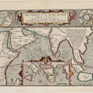
Erythraei Sive Rubri Maris Periplus, olim ab Arriano descriptus, nunc vero ab Abrah. Orelio ex eodem delineatus
- $1,200
- Illustrating a mysterious ancient text: fascinating Ortelius map mixing classical mythology and contemporary exploration.
-
- Add to cart
- Arabia and the Red Sea
Routes between ‘Oqair and Jabrin Oasis in Eastern Nejd from surveys by Major R.E. Cheesman O.B.E. 1923-24
- $700
- A pioneering expedition for the mapping of the Arabian coast from the Gulf of Salwah to Uqair.
-
- Add to cart
- Africa, Arabia and the Red Sea
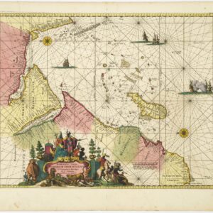
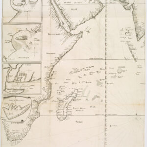
Occidentalior Tractus Indiarum Orientalium à Promontorio Bonae Spei ad C. Comorin
- $1,400
- Stunning Renard sea chart of the Indian Ocean, with East Africa, Arabia, and southern India, from the Atlas de la Navigation.
-
- Add to cart
- Arabia and the Red Sea
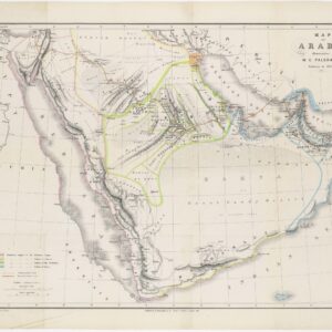
Map of Arabia illustrative of W.G. Palgrave’s Journey in 1862-63
- $500
- 19th century map of the Arabian Peninsula with important contemporary political divisions.
-
- Add to cart
- Arabia and the Red Sea
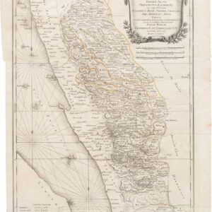
Terrae Yemen maxima Pars seu Imperii Imami, Principatus Kaukebân nec non ditionum Haschid u Bekil, Nehhm, Chaulan, Aleu Arisch et Aden Tabula
- $900
- Original Copenhagen edition of Niebuhr’s map of Yemen, from the first scientific mission to Arabia.
-
- Add to cart
- Arabia and the Red Sea
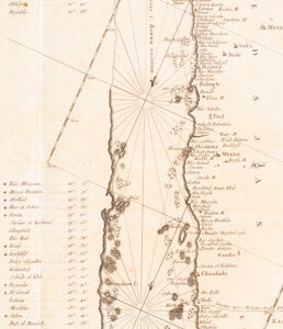
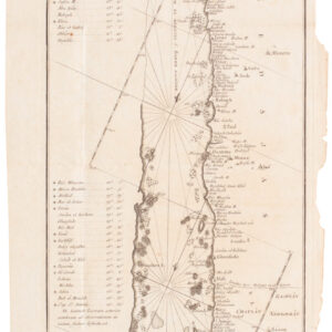
Mare Rubrum seu Sinus Arabicus ad observationes maximam partem ab Auctore annis MDCCLXII et MDCCLXIII institutas delineatus a C. Niebuhr
- $800
- Carsten Niebuhr's transformative map of the Red Sea.
-
- Add to cart
- Africa, Arabia and the Red Sea, Asia, Featured Maps & Views
João Teixeira Cosmographo. De sua, Magestade. Aféz em Lixboa o Anno de 1649
- $6,000
- Rare 17th century portolan-style chart designed for use aboard Portuguese merchant vessels.
![[With Extensive Contemporary Annotations] Ordnance Survey of the Peninsula of Sinai Made in 1868-9 By Captains C.W. Wilson, and H.S. Palmer, R.E. Under The Direction of Major-General Sir Henry James, R.E. F.R.S. &c. Director of the Ordnance Survey](https://neatlinemaps.com/wp-content/uploads/2020/05/NL-00842_Thumbnail-300x300.jpg)
![[With Extensive Contemporary Annotations] Ordnance Survey of the Peninsula of Sinai Made in 1868-9 By Captains C.W. Wilson, and H.S. Palmer, R.E. Under The Direction of Major-General Sir Henry James, R.E. F.R.S. &c. Director of the Ordnance Survey](https://neatlinemaps.com/wp-content/uploads/2020/05/NL-00842-scaled-300x300.jpg)
