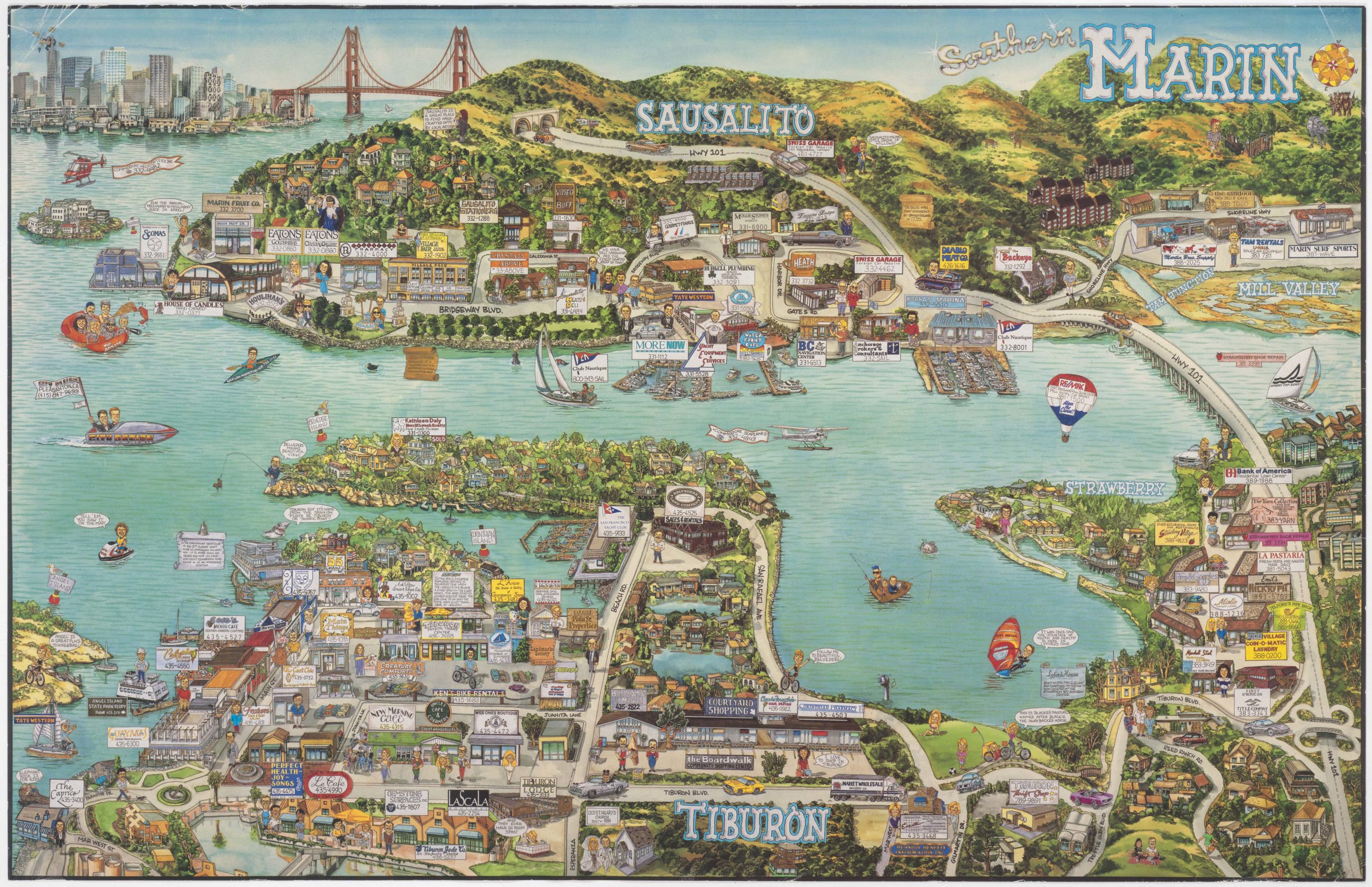
Dodge’s monumental 1892 wall map of Marin County: the greatest Marin map ever made.
Official Map of Marin County, California 1892 Compiled from Records and Surveys.
Out of stock
Description
This rare and monumental wall map of Marin County stands out as the region’s most extensive, detailed, and influential survey from the 19th century. Crafted by engineer George M. Dodge, who also contributed to constructing a tourism railway to Mount Tamalpais in 1898, the map details the county at the close of the 19th century. Marin County was one of the 27 original counties established by California’s first legislature in 1850, just before statehood. By 1892, when this map was created, Marin had undergone a substantial transformation from its early days when it had a population of just 323 people.
Some quick notes:
-An extensive town grid is displayed for Sausalito, including a formidable seawall. This grid was not a reflection of demographic reality but rather the development plans of the Saucelito Land & Ferry Company.
-We see the North Pacific Coast Railroad, a narrow gauge railway finished in 1875, running towards today’s Mill Valley. But since the town of Mill Valley was not incorporated until 1900, we instead see its earlier names of Millwood and Eastland. A black dot at the end of the line represents the depot building, a post office when this map was published.
-Large landing holdings have recognizable names today, for example, the estate of Hugh A. Boyle.
-The map’s presentation of Strawberry, Tiburon, and Belvedere is incredibly fascinating. Ownership plots and canals have been plotted far out into Richardson Bay. In the second half of the 19th century, all throughout San Francisco Bay, developers sought to auction off water lots to be infilled and built on. It appears that a similar idea was proposed here, but the overly ambitious plan was never realized.
-Much of the Tiburon Hills was owned by the Reed family, and the Belvedere Land Company controlled Belvedere Island.
-Today’s Corte Madera is still shown to be an extensive marshy estuary, although development plans were clearly in the works. San Quentin Prison, the oldest in the state, is marked. Much of Larkspur was controlled by the American Land & Trust Company.
-San Rafael is the biggest town depicted on the map. Two railroad lines run through it, one heading north towards Novato and Petaluma, the other veering west towards the San Anselmo junction, and then out to West Marin.
Further background
The map documents the remnants of Mexican land grants, reflecting the ranchos of Sausalito, Los Reyes, Corte Madera, Quentin, Novato, Nicasio, and San Geronimo. These vast estates were allocated to early settlers, known as Californios, to populate the area under Mexican rule starting in 1821. As political shifts loomed and the U.S.-Mexico war approached, these grants were rapidly assigned to various individuals, many from Great Britain, from 1834 to 1846. Despite the U.S. commitment in the Treaty of Guadalupe Hidalgo to honor these land claims after the 1848 annexation, the original grantees often lost their lands to legal fee settlements. These grants have significantly influenced Marin County’s settlement patterns and boundaries.
Key ranchos depicted on the map include Rancho Sausalito, granted to William Richardson in 1835, comprising areas like Sausalito and Marin City. Richardson, overwhelmed by debt, lost much of this land, leading to the development of Mill Valley and Sausalito. Corta Madera del Presidio, granted to John Reed in 1834, included Belvedere and Tiburon, with portions remaining with the Reed family until World War II. The Nicasio grant, encompassing over 56,807 acres, was initially intended for the Miwok tribes but ended up partitioned and sold by De La Guerra and John Cooper, leaving the Miwoks with minimal land rights.
The map pre-dates the 1907 incorporation of the Northwestern Pacific Railroad, yet it captures a county already molded by the influence of railroads since 1869. The North Pacific Coast Railroad, initiating its route in 1873, connected strategic points in Marin and spurred the county’s population, commerce, and tourism growth. This development of transport infrastructure, including the San Rafael & San Quentin Railroad laid in 1869 and the subsequent ferry and road constructions, are integral features of the map, signifying the burgeoning system at a time when railroads were propelling economic and demographic transformations within Marin County.
Conclusion
Dodge’s 1892 masterpiece is a tapestry of Marin County’s evolution, portraying the culmination of decades of growth and pivotal historical moments leading up to the 20th century. It encapsulates the area’s topography, infrastructure, and heritage, serving as a testament to the rich history and significant developments that have shaped Marin County.
Cartographer(s):
George M. Dodge was an engineer and cartographer active in northern California in the late 19th-century. Although detailed historical records about him are limited, his work, especially in surveying and mapping Marin County, indicates his role in the development of the area during that time.
In addition to creating a detailed survey of Marin County, Dodge was involved in local infrastructure projects, such as the Mount Tamalpais railway built in 1898.
His work in creating a wall map of Marin County was particularly important as it provided one of the most detailed and influential surveys of the county during that era, showcasing the geography, settlement patterns, and the remnants of Mexican land grants. Such maps were crucial for understanding land ownership, planning development, and historical documentation.
Schmidt Label & Litho. Co.The Schmidt Label & Lithography Company was an American publishing house based in San Francisco and which specialized in the printing of labels (although separate prints also were issued). It was founded in 1873 by a German immigrant, Max Schmidt. Schmidt was one of the first West Coast printers to use the lithographic technique, giving him a distinct advantage over his competitors and cementing his success. By the 1890s, he ran a factory in the city as well as branches in Portland and Seattle. Despite facing severe set backs, including several fires and the complete destruction of his plant in the 1906 earthquake, Schmidt was an extremely resilient and innovative businessman. Within a few years of the 1906 devastation, the Schmidt Company had become one of the largest printing houses on the West Coast.
Condition Description
Professionally restored.
References