The Schmidt Label & Lithography Company was an American publishing house based in San Francisco and which specialized in the printing of labels (although separate prints also were issued). It was founded in 1873 by a German immigrant, Max Schmidt. Schmidt was one of the first West Coast printers to use the lithographic technique, giving him a distinct advantage over his competitors and cementing his success. By the 1890s, he ran a factory in the city as well as branches in Portland and Seattle. Despite facing severe set backs, including several fires and the complete destruction of his plant in the 1906 earthquake, Schmidt was an extremely resilient and innovative businessman. Within a few years of the 1906 devastation, the Schmidt Company had become one of the largest printing houses on the West Coast.
-
- Add to cart
- San Francisco
San Francisco [June] 1849.
- $4,800
- Henry Firks’ iconic birds-eye-view of San Francisco at the height of the Gold Rush.
-
- Add to cart
- Marin, Sonoma, & Napa Valley, Wall maps
Official Map of Marin County, California 1892 Compiled from Records and Surveys.
- $8,500
- Dodge's monumental 1892 wall map of Marin County: the greatest Marin map ever made.
-
- Add to cart
- San Francisco Bay Area & Silicon Valley
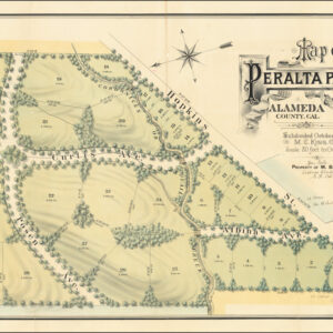
Map of Peralta Park, Berkeley, Alameda County, Cal. Subdivided October 1878. M.C. King, C.E. Scale 80 Feet to One Inch. Property of M.B. Curtis.
- $2,450
- Land grants, failed endeavors, and a fabulously wealthy stage actor: the story of North Berkeley's Peralta Park.
Archived
- Out of Stock
- San Francisco
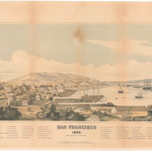
San Francisco 1849, Drawn on the Spot by Henry Firks
- Henry Firks’ iconic birds-eye-view of San Francisco at the height of the Gold Rush.
- Read more
-
- Out of Stock
- Pictorial maps, San Francisco
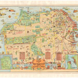
Map of San Francisco Showing Principal Streets and Places of Interest
- The greatest and grandest pictorial map of San Francisco, representing the best of Roaring Twenties cartographic wit and optimism.
- Read more
-
- Out of Stock
- Bird's-eye-views, Pacific Northwest - Hawaii - Alaska
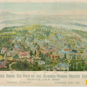
Authorized Birds Eye View of the Alaska-Yukon-Pacific Exposition. Seattle, U.S.A. 1909.
- A dramatic bird’s-eye-view of the 1909 Alaska-Yukon-Pacific Exposition.
- Read more
-
- Out of Stock
- San Francisco
Plat of the Pueblo Lands of San Francisco finally confirmed to the City Of San Francisco. Surveyed under instructions from the U.S. Surveyor General by F. von Leicht, U. S. Dep. Surv. in December 1883 Containing 17754 36/100 Acres
- Von Leicht’s historic 1883 survey confirming the boundaries of San Francisco, including land grants.
- Read more
-
![San Francisco [June] 1849.](https://neatlinemaps.com/wp-content/uploads/2024/05/NL-01939_thumbnail-300x300.jpg)


