Mercator’s Islandia.
Islandia
Out of stock
Description
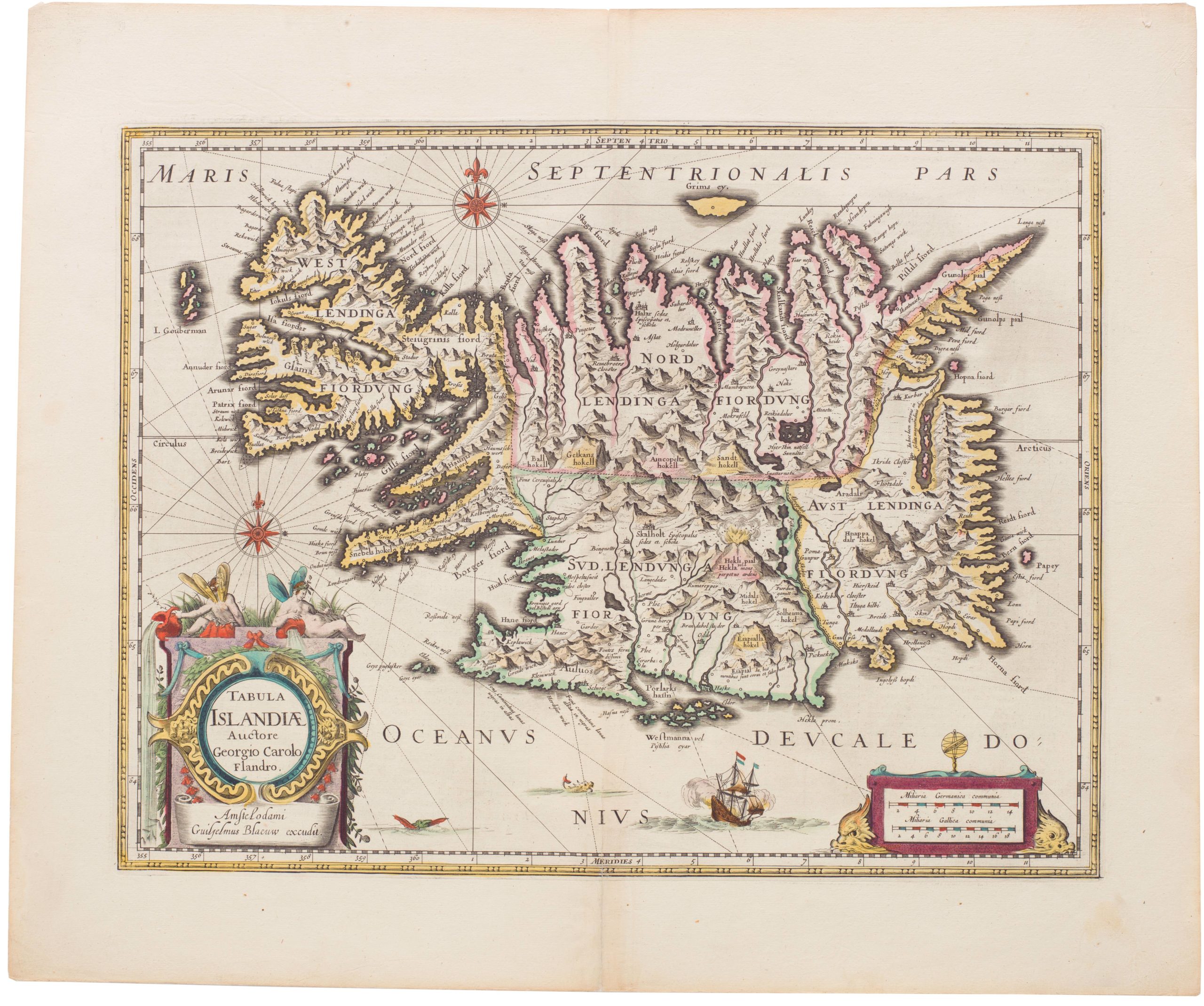
This important map first appeared in the 1595 edition of Mercator’s Atlas. It is similar to Ortelius’ map of Iceland (issued five years earlier) and is based on the same source – that of Bishop Gudbrandur Thorláksson. Although the map is far from accurate, it is a marked improvement on earlier maps in both content and execution. The island is depicted with its vast mountains, glaciers, and fiords and the eruption in Hekla. Many places of interest are named, and the settlements are fairly well located.
The map is decorated with a strapwork title cartouche, a sea monster, and a distance scale topped with dividers.
Latin text on verso.
Cartographer(s):
Gerardus Mercator (March 1512 – 2 December 1594) was a 16th-century geographer, cosmographer, and cartographer from the County of Flanders. He is most renowned for creating the 1569 world map based on a new projection that represented sailing courses of constant bearing (rhumb lines) as straight lines—an innovation that is still employed in nautical charts.
Mercator was one of the pioneers of cartography and is widely considered the most notable figure of the Netherlandish school of cartography in its golden age (approximately 1570s–1670s). In his own day, he was notable as a maker of globes and scientific instruments. In addition, he had interests in theology, philosophy, history, mathematics, and geomagnetism. He was also an accomplished engraver and calligrapher.
Condition Description
On a watermarked sheet with a worm track in the top border and a few tiny centerfold separations all closed on verso with archival material. Minor soiling along the centerfold.
References
Van der Krogt (Vol. I) #1250:1A.
