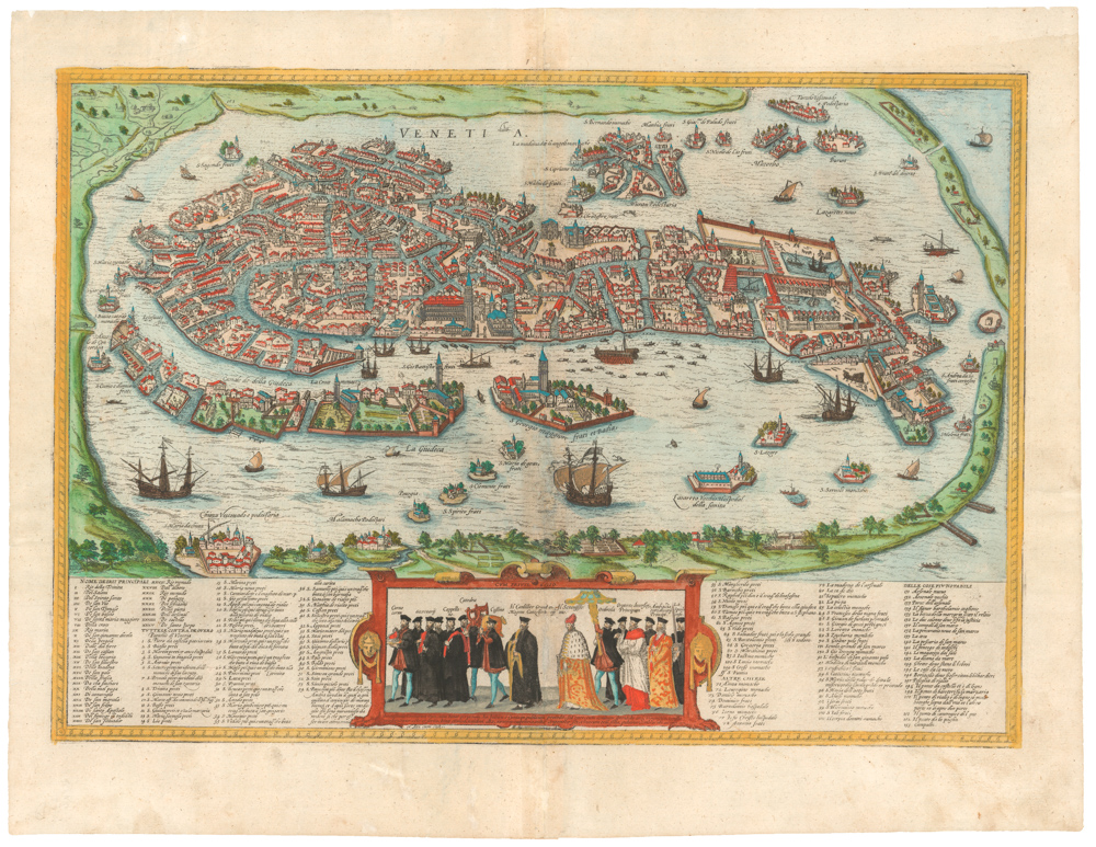
One of the finest maps of the Iberian Peninsula ever produced, in excellent original color.
Nova Descriptio Hispaniae.
$3,800
1 in stock
Description
Gerard de Jode’s rare map of the Iberian Peninsula was originally compiled by the Italian architect Pirro Ligorio and engraved by Johannes and Lucas van Doeticum. It was included in De Jode’s seminal atlas, Speculum Orbis Terrarium, first published in 1578.
De Jode’s atlas is considered the second modern atlas after Abraham Ortelius’ Theatrum Orbis Terrarum (1570). Despite being a prominent mapmaker who competed directly with Ortelius and endowed his maps with incredible aesthetics and detail, De Jode did not achieve the same commercial success as Ortelius, making his maps much rarer today.
The map is a prime example of the era’s fine cartography, boasting sea monsters, sailing ships, and an ornate coat of arms. As such, this map reflects the ambition and high artistic standards that characterized mapmaking in the 16th century. Even though Portugal is distinguished from the rest of the peninsula by its green coloring, De Jode’s map captures Spain and Portugal amid a turbulent political union (1580-1640) that gradually eroded Portugal’s dominance on the high seas.
Census
The creation of De Jode’s Hispania map can be traced back to Ligorio’s original work and the influence of Michele and Francesco Tramezzini’s Nova Totius Hispaniae Descriptio (Rome, 1559). Ligorio, a Neapolitan artist and antiquarian, was a crucial figure in the map’s original compilation. The map was engraved by the Dutch artisans Johannes and Lucas van Doeticum, renowned for their skill, detail, and precision. As with many of the plates from the original Speculum, the Hispania map was modified for the 1593 edition, from which our map derives.
De Jode’s map of Spain and Portugal is among the earliest obtainable maps of Spain and Portugal published in the Low Countries. It is a reflection of the scientific and artistic advancements of the Late Renaissance. Its creation, dissemination, and eventual suppression provide a fascinating insight into the world of sixteenth-century mapmaking and the intense rivalries that shaped its development.
Cartographer(s):
Gerard de Jode (1511-91) was a Dutch printer and mapmaker born in Nijmegen, but working from the metropolis of Antwerp. One of the most competent and reputable Dutch cartographers of the 16th century, he did not fare so well business-wise, as competition was stark and his mercantile sense perhaps not so shrewd. In 1547 he was accepted into the Guild of St Luke’s in Antwerp and began working as a publisher and printer. De Jode quickly gained recognition as an expert mapmaker in a city that was already renowned for its cartographic output. His greatest achievement was a magnificent two-volume atlas entitled Speculum Orbis Terrarum, which came out in 1578. The idea was to create an atlas that could compete with Abraham Ortelius’ hugely popular Theatrum Orbis Terrarum, which had been published to great acclaim only eight years earlier. Despite De Jode’s status and reputation, however, his atlas was not a commercial success. The lack of circulation in 1578 has had a lasting legacy today, as it is now one of the rarest and most sought-after atlases, with only about a dozen copies known to exist.
Despite this lack of commercial success (or perhaps because of it), Gerard began working on a new and revised atlas. For this task, he recruited his son, Cornelis De Jode (1568-1600), as an assistant, and together they compiled another outstanding and innovative atlas entitled Speculum Orbis Terrae, which was published in 1593. Sadly, Gerard de Jode died of old age a little less than two years before its publication, but perhaps he was spared the embarrassment of another commercial failure. Even though the new atlas contained both Gerard’s original maps, it also included several key revisions, and perhaps most importantly, a range of entirely new maps compiled by Cornelis himself.
Like their 1578 predecessors, these 1593 maps are also scarce, especially since after Cornelius’ death, the engraving plates were sold to his competitor, J. B. Vrients (who also owned the Ortelius plates), who assured the complete work was never published again. Thus, while numerous editions of Ortelius were published and survive today, only the 1578 and 1593 editions form part of the legacy of the De Jode family.
Condition Description
Fine original color. Small repaired split in bottom centre fold, otherwise fine condition.
References
