Background: How to understand color on antique maps
The terms ‘Original’ or ‘Contemporary’ or ‘Old’ color are used for the most part interchangeably in the antiquarian map world to refer to color that was applied to a map immediately after or close to the time of its printing as part of the publication and selling process. Until the development of color printing (halftone, chromolithography, etc.), maps were colored by hand: sometimes by the publisher or people hired by the publisher, sometimes by independent colorists working for the map’s owner.
‘Modern color’ is used to describe color that was added long after initial production, even if the color is centuries old. Both in cases where original coloring faded or burned, and when maps were issued without color, it is not unusual to find 17th century maps colored (or re-colored) in the 18th and 19th centuries. This color is grouped with the work of present-day colorists under the term ‘modern,’ and when skillfully applied both can be quite visually pleasing.
Historical background
For most of the history of mapmaking, color was uncommon but not unknown.The oldest known maps were incised into clay tablets in ancient Babylon and could obviously not be colored. But as the medium evolved, we see that for some of the earliest preserved maps, coloring played an important role in encoding or embedding concepts in schematic visual renditions of the world. Impressive charts like the Tabula Peutingeriana, early Arab or Ptolemaic maps, the 6th century mosaic map in Madaba, Jordan, and Medieval portolan charts all used color to distinguish individual features and enhance the visual impact.
From the late 15th to the late 16th century, a period that saw the invention of the printed map and the rise of map publishing as a business, color remained uncommon. Maps would often figure within the context of geographic books or itineraries and would rarely be subjected to coloring. However, some map publishers did begin to color maps in order to make them more sellable by enhancing appearance and readability, as well as to highlight specific features conveyed in the map’s composition.
Coloring would be applied to maps for decorative purposes, and the more competitive the map business became, the greater the need to enhance them visually. During the 17th century and the Dutch Golden Age of cartography, the hand coloring of maps grew increasingly common and popular, and many mapmakers started issuing formal polychrome sheets to meet the growing demand. A pioneer in this regard – in part due to his technical skill and strong sense of aesthetic – was Willem Janszoon Blaeu, who began issuing magnificent tomes of hand-colored maps.
The depth and splendor of early coloring was in part due to the way pigments were prepared and used. Some of the pigment initially used in the hand-coloring of maps became unavailable during the 18th century, making the original techniques a lost art. Coloring was used in different ways and for different purposes. Four main colors were usually used to highlight political subdivisions: green, pink, orange, and yellow. A stylized cathedral colored in bright red or gold often marked larger urban centers, whereas blue was commonly reserved for denoting bodies of water. Black was the color most used for toponyms.
Discerning old color
If skillfully applied with historical correctness, modern coloring can sometimes be very difficult to distinguish from contemporary or original color. Discerning between the two takes experience.
When evaluating maps for original color, there are a number of features that one might look for in order to confirm that the coloring is indeed original. The most common and simple technique is to examine the verso of the map, as old greens and browns in particular often show through the paper as a result of oxidation.
Another common, albeit more difficult, way of discerning original color from later coloring is holding it up to historical and stylistic scrutiny. Often, the original coloring of landmasses constituted a reflection of political subdivisions at the time of publication. Such realities would sometimes either be forgotten or disregarded when maps were subjected to later coloring. The reason for discrepancies of this sort was usually the changing nature of political realities. The later coloring of maps with different political subdivisions could thus be construed as an error in historicity, but is much more likely because the desire for original states is a modern collectors phenomenon. In the 18th and early 19th century, far more importance was lent to maps be usable, and thus the need for updated political divisions was considered paramount.
-
-
Add to cart

 Quick View
 - Asia, Featured Maps & Views, Southeast Asia & Australia
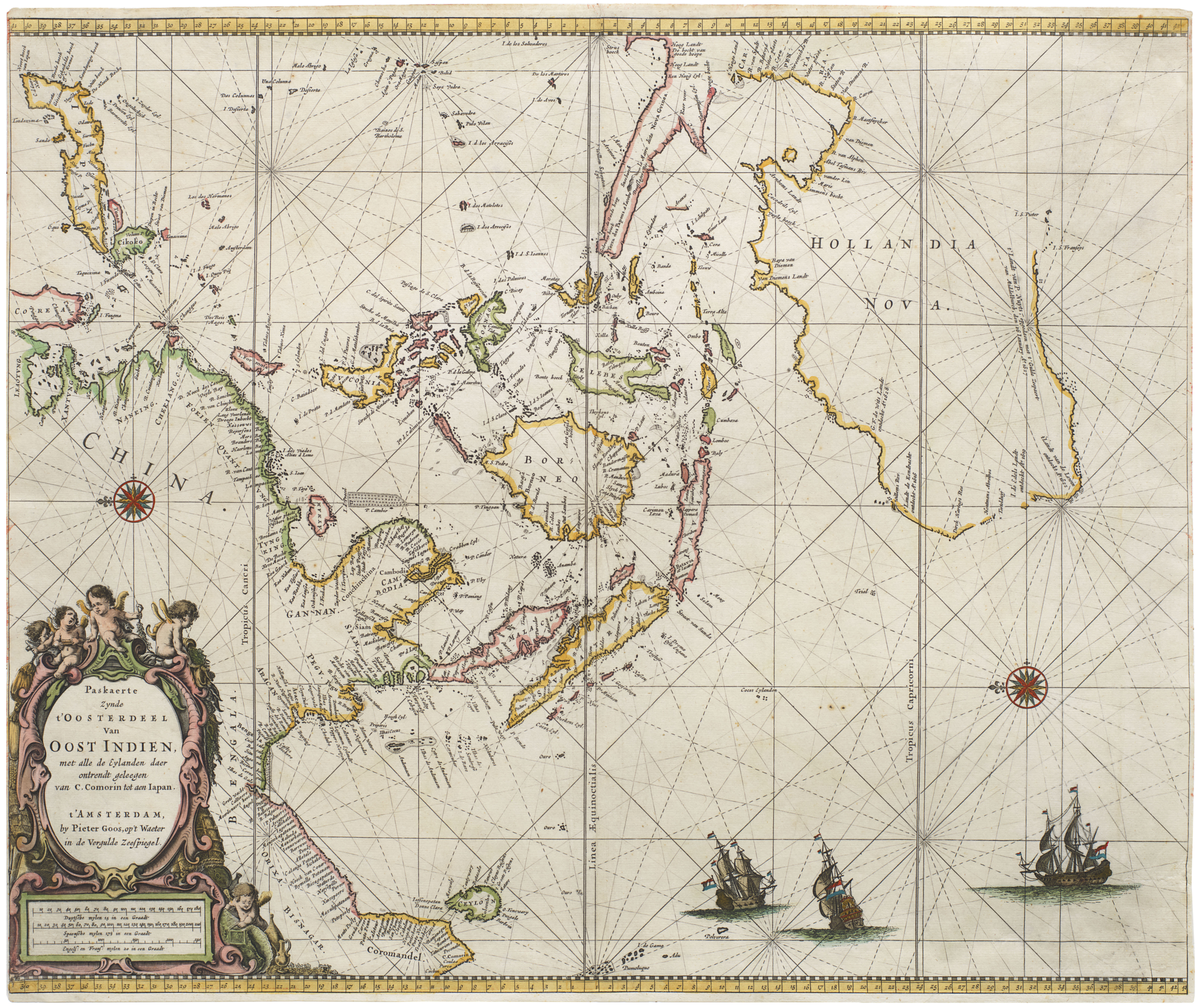
Paskaerte Zynde t’Oosterdeel van Oost Indien, met Alle de Eylanden daer Ontrendt Geleegen van C. Comorin tot aen Japan
- $6,500
- [Early color] Pieter Goos’ Striking Sea Chart of Southeast Asia, Australia, and the Indian Ocean.
-
-

-
-
-
Add to cart

 Quick View
 - Asia, Southeast Asia & Australia
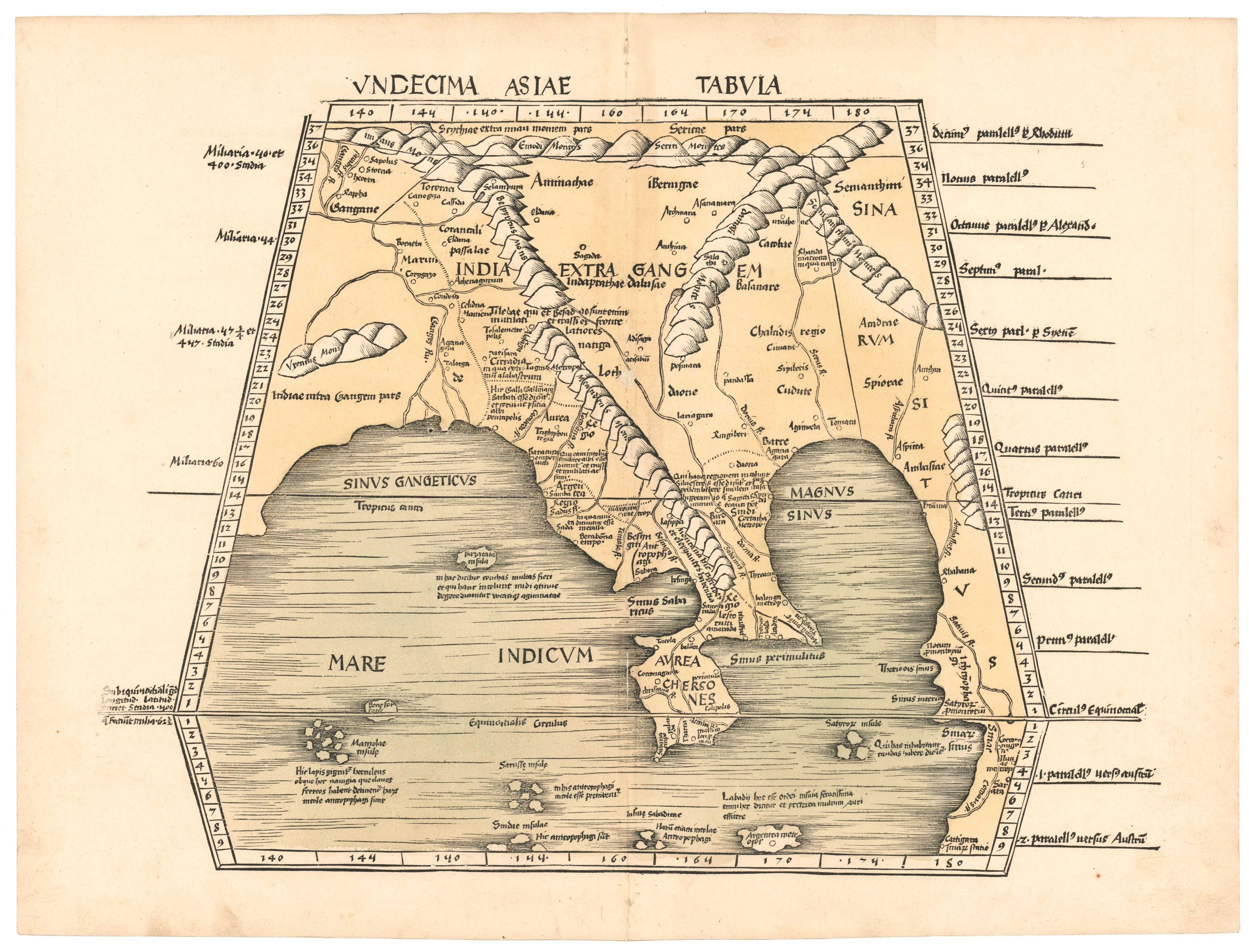
Undecima Asiae Tabula.
- $4,800
- An early printed map of Southeast Asia from the first modern atlas.
-
-

-
-
-
Add to cart
 Quick View
 - East & Midwest United States, United States
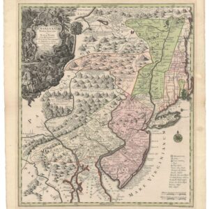
Pensylvania Nova Jersey et Nova York cum Regionibus Ad Fluvium Delaware…
- $2,900
- Seutter’s first state map of Pennsylvania, Jersey, and New York, with original color.
-
-
-
-
Add to cart
 Quick View
 - Americas, Featured Maps & Views, North America
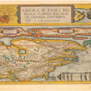
Americae Pars Borealis, Florida, Baccalaos, Canada, Corterealis. A Cornelio de Iudaeis in luce edita.
- $34,000
- The first printed folio map of North America and the most iconic American chart of the 16th century.
-
-
-
-
Add to cart
 Quick View
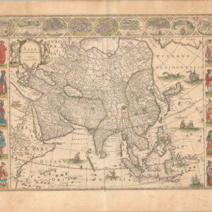
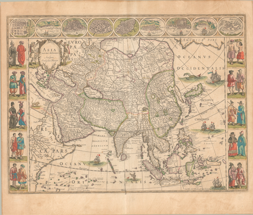
 - Asia
Asia Noviter Delineata.
- $2,800
- Excellent old color example of Willem Blaeu’s seminal map of Asia -- one of the 17th century’s most influential depictions of this cartographically complicated continent.
-
-
-
-
-
Add to cart
 Quick View
 - Europe, Italy
Siciliae Veteris Typus.
- $1,400
- Ortelius’s pioneering of map of Sicily in Antiquity with excellent old color.
-
-
-
-
Add to cart
 Quick View
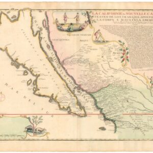
 - Americas, California, North America
La Californie ou Nouvelle Caroline, Teatro De Los Trabajos Apostolicos De La Compa. E. Jesus En La America Septe…
- $7,500
- [Old Color] The largest cartographic depiction of the island of California ever made.
-
-
-
-
Add to cart
 Quick View
 - Bird's-eye-views, Turkey - Ottoman Empire
Byzantium nunc Constantinopolis.
- $3,200
- Gorgeous original color 1582 bird's-eye-view of Istanbul.
-
-
-
-
Add to cart

 Quick View
 - Europe, Italy, Bird's-eye-views
Venetia.
- $3,500
- Gorgeous 1577 Braun & Hogenberg bird's-eye-view of Venice.
-
-
-
-
-
Add to cart
 Quick View
 - Celestial charts, Featured Maps & Views
Globi coelestis in tabulas planas redacti descriptio, auctore R. P. Ignatio Gastone Pardies Societatis Jesu mathematico. Opus postumum
- $15,500
- One of the rarest sets from the Golden Age of celestial cartography.
-
-
-
-
Add to cart
 Quick View
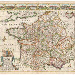
 - Europe, France & Switzerland
France revised and augmented the attires of the French and Situations of their Cheifest cityes observed.
- $2,200
- Speed’s stunning map of France, produced at the height of religious war in Europe.
-
-
-
-
Add to cart
 Quick View
 - Europe, Spain & Portugal
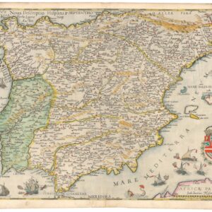
Nova Descriptio Hispaniae.
- $3,800
- One of the finest maps of the Iberian Peninsula ever produced, in excellent original color.
-
-