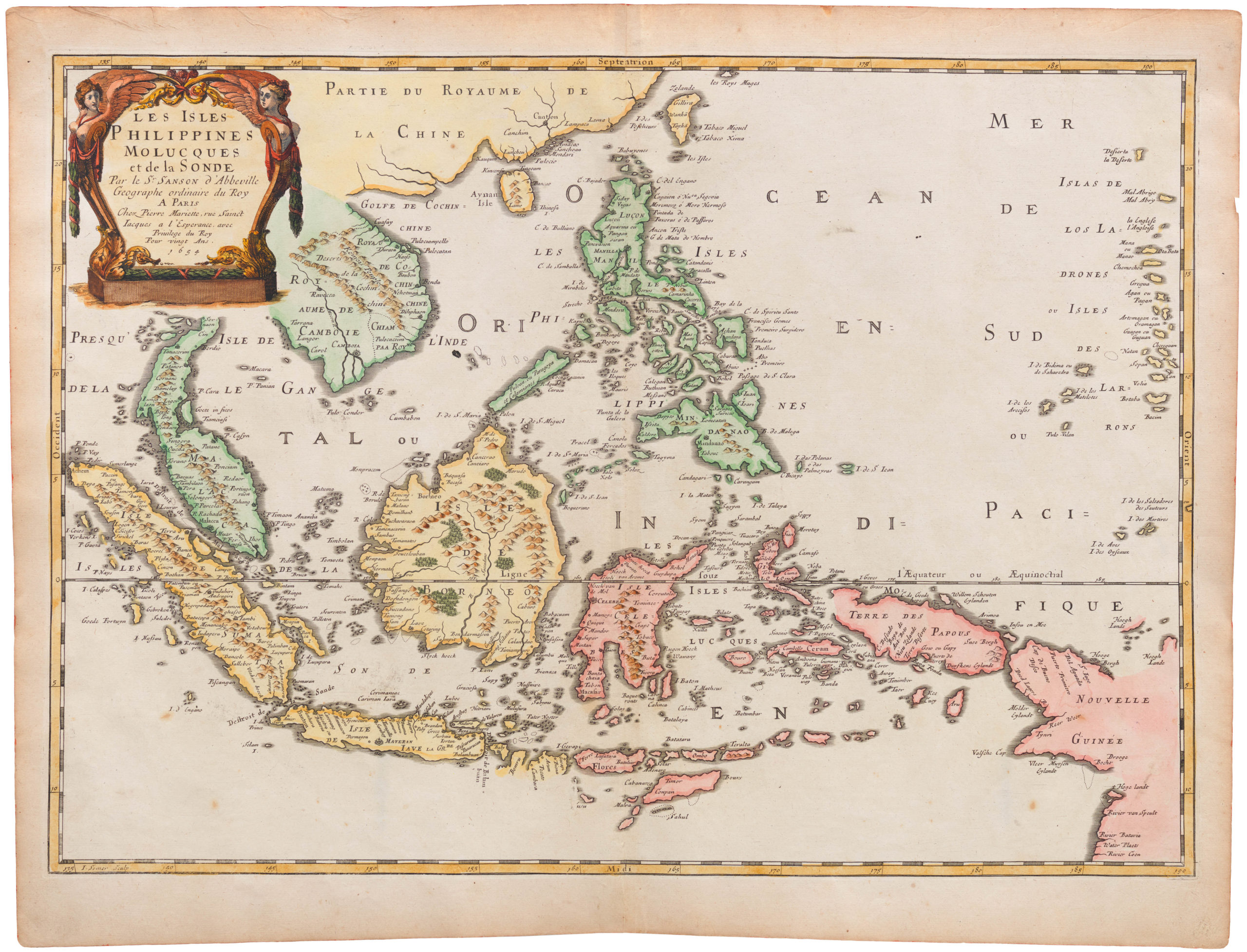
Willem Janzoon Blaeu’s first map of China.
China Veteribus Sinarum Regio nunc Incolis Tame dicta.
Out of stock
Description
Willem Janszoon Blaeu’s first map of China is the result of countless bold ventures by Dutch and Portuguese merchants in the 17th century and a reflection of the uninhibited imagination of European policy makers and their cartographers. The map is the product of an age of expansion in which our understanding of the world’s geography grew on an almost daily basis. In addition to depicting a highly contested and commercially important region of the world, Blaeu’s map follows a trend of gradually replacing the rigid and schematic world view of Ptolemaic geographers with a more modern, observation-based cartography that hinged on the experience of captains and their navigators.
The 17th century was an age of trade. Asia had been known to Europeans for centuries now, in part due to the incredible reports from Marco Polo, but it was only after the Portuguese opened up the maritime route around the Cape of Good Hope that European trade really began to flourish in the region. The introduction of Europeans to the Indian Ocean changed the power constellation dramatically and over the course of the next century or so, the Indian, Chinese, and Arab merchants who had up until then dominated these waters were soon outcompeted and outgunned by Portuguese, Spanish, and Dutch vessels.
From the dawn of the 17th century, countless expeditions were sent to Asia with explicitly mercantile ambitions. By the time Blaeu began compiling this important chart, it was nevertheless increasingly the Dutch who dominated the region. Blaeu’s map is drawn directly into this competitive context. The chart is on one hand a beautiful visualization of an exotic and distant place, now with a merchantman’s grasp. On the other hand, it constitutes a new and more accurate depiction of an area of significant commercial interest. This is generally in line with Blaeu’s output in the 1630s. Having become the main VOC cartographer, he increasingly focussed his energy on providing functional and beautiful charts of the most important trading areas (e.g. Indonesian Spice Islands or the east coast of China). Like the majority of Blaeu’s Asia charts, this map was ultimately adapted for what can appropriately be termed the most spectacular cartographic achievement of the age: Willem Blaeu’s Atlas Maior. This seminal atlas was not published until 1664 – almost thirty years after this map’s initial publication – and so maps such as this should in many ways be seen as components in the formative process behind this masterpiece.
The maps that Blaeu and his sons were producing during the first half of the 17th century were very much in direct competition with the Hondius-Jansson dynasty: another major Dutch cartographic clan that had acquired Gerard Mercator’s original plates and used these as the foundation for their generational success. This meant that even the smallest differences or nuances could set aside one mapmaker’s chart from his contemporaries and either propel him to fame or descend him into oblivion. Blaeu very much achieved the first, and his charts continue to stand as iconic encapsulations of the best that 17th century cartography has to offer. However, they are also vivid reminders of how the age of colonization began, and essentially serve to present Asia as a playground for the VOC and Dutch merchants.
Map Details
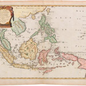
Moving on to a description of the map itself, this decorative chart essentially provides a solid overview of Cathay, or China’s coastal geography and the associated hinterlands. Also depicted are the many mysterious islands fronting the extensive Chinese coastline. These islands in fact constitute some of the earliest European renditions of Japan, Korea, Taiwan, and the northern parts of the Philippines.
The map’s obvious focus is China. The particular manner it has been depicted by Blaeu and his contemporaries suggests a conceptual divide the Chinese mainland into two parts: a Central Asian interior largely void of settlement and with only few topographic features, and an eastern half, largely focussed on the coast, and full of mountain ranges, rivers, lakes, and indeed towns and cities. This more inhabited part is bounded to the north and northwest by China’s Great Wall. The Wall was a relatively well known phenomenon in Europe, mostly due to Marco Polo’s captivating reports centuries earlier. Including it on this map was not only a question of cartographic accuracy and creating a familiar reference point for the informed viewer; it also served define the borders of Imperial China and thus functioned as a subtle but appropriate ‘line in the sand’ when it came to Europe’s commercial interests. China may well have been among the greatest powers in Asia up until this point, but this role did not change the fact that Europe’s fascination with her was primarily mercantile.
Following the axis created by the Wall in the north, the division of China into east and west is continued by a long north-south running mountain range and an enormous elongated lake titled Lacus Cincui Hay. Moving southwest, we see a large, hook-shaped lake labelled Chiamay Lacus and is seemingly fed by four shorter mountain-flows from the north. To the south, it develops into four major rivers flowing into the Indian and Siamese Peninsulas, a geographical myth that first finds its way onto European maps in a Portuguese chart from ca. 1541. The lake was known to European mapmakers as the Chiang Mai and was often shown as a mysterious source for many of Asia’s great river systems.
While today these interior parts hold some fascination for collectors and specialists because of their quasi-mythological renditions of geographic reality, the true focus of Blaeu and his contemporaries was of course on the great coastal centers with which European merchants traded. This preponderance is echoed by the ornamental presence of several ships off the Chinese coast, and by the fact that these ships constitute a combination of large Dutch yachts and local Chinese sampans (flat-bottomed vessels used for coastal fishing and trade). The decorative theme is continued in a striking cartouche that is flanked by a Chinese male and female.
At the bottom of the map we find a second ornamental cartouche, which dedicates the map to a Theodore Bas, the contemporaneous director of the powerful Dutch East India Company (VOC), who during the first half of the 17th century had out-competed most of the Spanish and Portuguese merchants for the Asia trade. The dedication of this map to Bas can be directly correlated to Willem Blaeu’s official appointment as the company’s chief cartographer in 1633. This was an extremely influential position and elevated Blaeu to new heights as a mapmaker — in large part due to exclusive access to the VOC’s archives. Blaeu reciprocated with productivity, creating a string of seminal maps for the VOC that focused on Dutch commercial interests and included lush dedications to his new patrons.
Japan and Korea
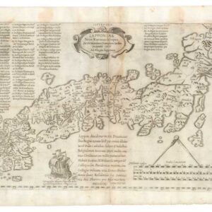
In addition to China itself, Japan is also depicted in some detail on this map, with the three main islands depicted individually. At this stage, European trade with Japan was booming, but within a few years of this map’s publication most of these connections would become extremely restricted and difficult. The depiction of Japan in European maps as an enormous archipelago dates back to the reports of Marco Polo, and throughout the 16th century we see it included in maps of the Pacific in a plethora of different ways. By the time Blaeu was compiling his map, however, the Dutch had stable trade relations with the Shogunate and a much better grasp of the island’s scope and geography.
Beyond China and Japan, the map includes a rare and early rendition of Korea as an island. The nature, culture, and indeed geography of Korea was largely unknown to European mapmakers at this stage. Once again, it was Marco Polo who was the first to bring Korea into the European consciousness. He named it Cauli, but provided very little concrete information, which meant that during the 16th century, mapmakers like Abraham Ortelius, Gerard Mercator, and Sebastian Münster often avoided the issue by omitting Korea altogether. Over the course of the second half of the 16th century, several Jesuit friars visited Korea (often in the wake of Japanese or Chinese invasions), which meant that it increasingly became a subject of cartographic contention rather than omission. In 1578, Father Luis Frois reported that Korea was in fact a peninsula, but how quickly such information reached the mapmaking guilds of the Low Countries is unclear.
The first European cartographers to depict Korea were the Dutch, and the very first seems to have been Peter Plancius. In his 1594 map of East Asia, he depicts Korea as an elongated peninsula barely attached to the Chinese mainland — much as Blaeu does in this map. This understanding was copied in Richard Hakluyt’s Principal Navigations. A year later, in 1595, Jan Huygens van Linschoten published his groundbreaking Itinerario. Linschoten had served the Portuguese Vice-roy in Goa and had personally sailed on many of the regions depicted in his maps. For Korea, he nevertheless relied on a map by Arnold Floris van Langren, who depicted Korea as sizable round island. The same year, Ortelius went out on a limb by relying on a manuscript map by Luis Teixeira, which also depicted Korea as an island. This confusion about the true nature of Korea continued throughout the 17th century, and it seems that Blaeu tried to balance the two models by depicting Korea as only being separated from the mainland by a thin canal or strait.
It was not until the 1650s that the issue was resolved in any way. This came when the Jesuit friar, Martino Martini, returned from a nine year voyage to China (1642-51), during which he collected geographic information and consulted Chinese maps and their makers. This allowed him to create new maps of the region, including several renditions of Korea as a thicker, nearly rectangular peninsula (e.g. in Bellum Tartaricum from 1654 and Atlas Sinensis from 1655). Yet even though the 17th century saw several concrete challenges to the notion of Korea as an island, the notion proved extremely resilient and continued throughout the century. It was really only with d’Anville’s 1735 map of the region that we see the first reasonably accurate outline of the peninsula.
Conclusion
In summary, Willem Janszoon Blaeu’s first map of China represents a decisive change not only in the history of cartography and exploration, but also in the political composition of Europe itself. It is a testimony to Dutch (self-)determination and creativity, and heralds the greatest cartographic masterpiece of the 17th century: Blaeu’s Atlas Maior.
Cartographer(s):
Willem Janszoon Blaeu (1571-1638) was one of the most important Dutch geographers and mapmakers of the 17th century. He was born the son of a herring merchant but traded fishmongering for studies in mathematics and astronomy. Blaeu’s first important breakthrough was winning an apprenticeship with the famous Danish astronomer Tycho Brahe. Working at Brahe’s Uranienborg observatory on the island of Hven, Blaeu learned various disciplines and technical skills. These included mathematics, astronomy, instrument-making, and more esoteric disciplines such as alchemy. Returning to his native Holland, Blaeu established a publishing business in Amsterdam. He sold instruments and globes, printed maps, and his own editions of some of the great philosophical works of contemporary intellectuals like Descartes and Hugo Grotius. Achieving notoriety as a cartographic pioneer, Blaeu was appointed Chief Hydrographer to the powerful Dutch East India Company, a position he held until he died in 1638.
When Willem died, his sons Cornelis (1610-1648) and Joan (1596-1673) took over the business. Joan had originally trained as a lawyer but never took up the practice, preferring to work on maps with his father. After Willem’s death, Joan continued publishing his father’s and his own maps. He also assumed his father’s position as a hydrographer for the Dutch East India Company. Towards the end of his life, Joan would dramatically expand his father’s Atlas Novus (1635), turning it into his own masterpiece, the Atlas Maior (1662-72).
When Willem died, his two sons Cornelis (1610-1648) and Joan (1596-1673) took over the business. Joan had originally trained as a lawyer, but never took up practice, preferring to work on maps with his father. After Willem’s death, Joan continued to publish both his father’s and his own maps. He also assumed his father’s position as hydrographer for the Dutch East India Company. Towards the end of his life, Joan would dramatically expand his father’s Atlas Novus (1635), turning it into his own masterpiece, the Atlas Maior (1662-72).
Condition Description
Excellent. Some spotting and wear visible on the verso.
References
