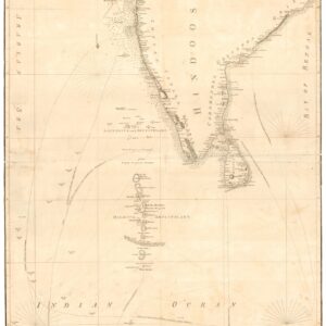
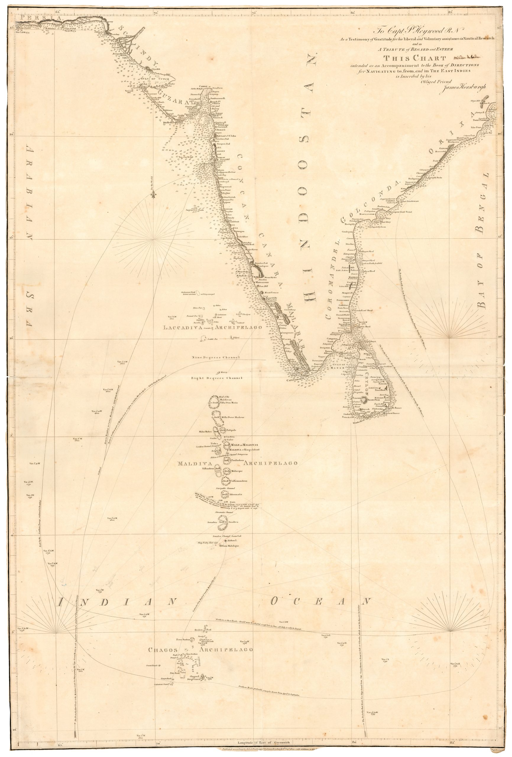
1930 map of India with railways and photographic vignettes.
Tourist map of India, Indian State Railways
Out of stock
Description
An attractive large folding full color pictorial tourist map of India, showing Tibet to the north, Burma to the east, Ceylon in the south.
With many photographic illustrations of monuments and tourist sites, including: Golden Temple Amritsar; Jaipur; Kutab Minar, Delhi; Sarangapani Temple, Kumbaconam; Central Station, Madras; Siniolchu, Sikkim; Kailas Temple, Ellora; Simla; Bombay from Malabar Hill; Victoria Memorial, Calcutta; The Residency, Lucknow; East Gate, Sanchi; Darjeeling; Taj Mahal, Agra; The Ghats, Benares; and Mylapore Temple, Madras.
George Philip was born in 1800 in Huntly, Aberdeenshire and learned the trade of bookselling in Liverpool, eventually starting his own business publishing maps and educational books. His son joined in 1848 and together they built a successful company, George Philip & Son Ltd.
Cartographer(s):
George Philip (1800–1882) was a cartographer, map publisher and founder of the publishing house George Philip & Son Ltd.
Condition Description
In good clean condition one closed tear bottom margin and on the back some of the folds have been strengthened scarcely noticeable.
References
![[Pair of views] Rade et Ville de Sincapour & Rade de Sincapour prise de la maison du Gouverneur](https://neatlinemaps.com/wp-content/uploads/2021/03/NL-00896-harbor_Thumbnail-300x300.jpg)
![[Pair of views] Rade et Ville de Sincapour & Rade de Sincapour prise de la maison du Gouverneur](https://neatlinemaps.com/wp-content/uploads/2021/03/NL-00896-harbor_Thumbnail.jpg)