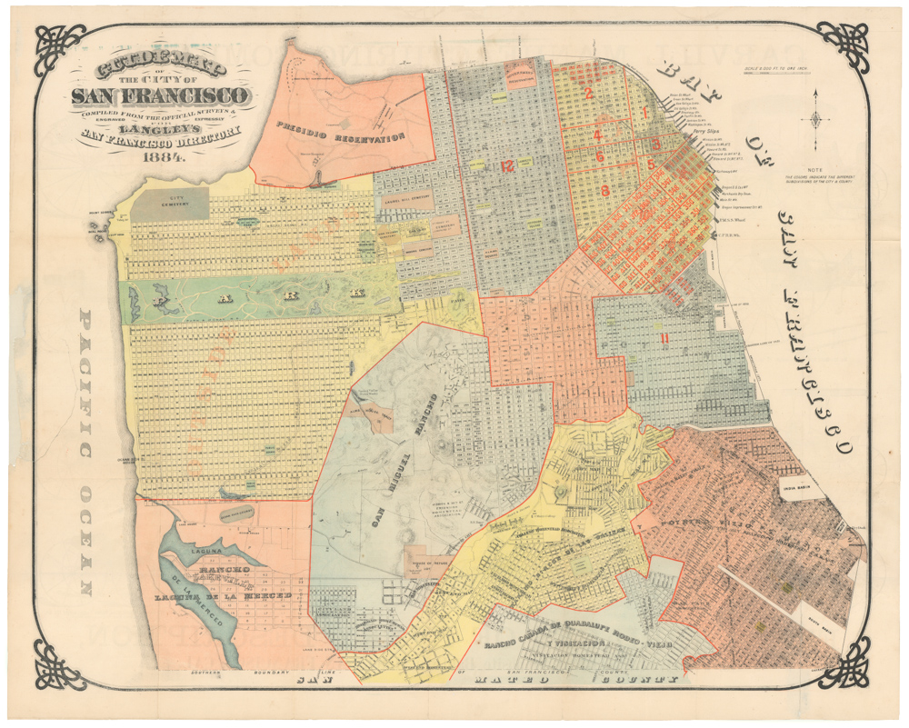
Attractive 1882 folding map of San Francisco.
Faust’s Map & Guide of San Francisco
Out of stock
Description
This is a small, attractive, folding map of San Francisco extending east-west from San Francisco Bay to 7th Ave. and north-south from 30th St. to Bay. A small part of Golden Gate Park and part of the Presidio is included. There is a small inset map of the entire City and County of San Francisco and another of the Bay itself.
Many interesting features of late 19th century San Francisco are found on this elegant map, including: the cemeteries at Lone Mountain, the Southern Pacific Railroad lines arriving from the southern peninsula, and more.
Several spurious street names are shown in the Marina, including Tonguin and Lewis. These were planned to be on landfill but were never actually created; Tonguin street is instead Marina Boulevard and Lewis is Marina Green Drive.
In folder with 64 pp. guide; folding into original printed wrappers.
Cartographer(s):
Henry W. Faust issued at least seventeen editions of his map of San Francisco both in pocket form (accompanied by a street directory, city guide, or both, or neither) and as wall maps. All editions of this map are uncommon and sought after.
Condition Description
Map with tiny nicks at fold intersections; folder with a little rubbing and soiling.
References

