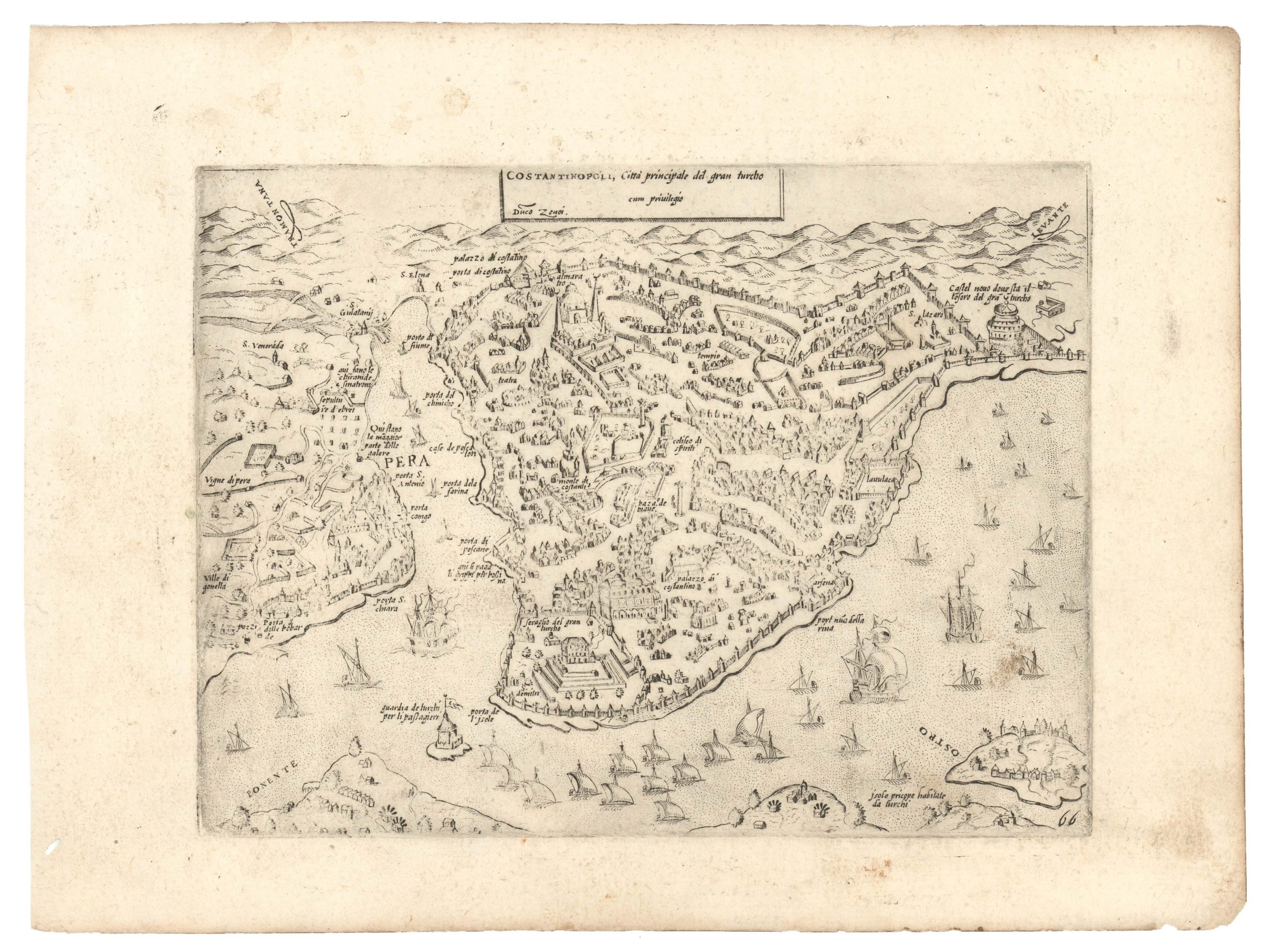
George Washington Bacon’s iconic bird’s-eye-view of the Holy Land.
Bacon’s Bird’s-Eye View of the Holy Land
$2,600
1 in stock
Description
A rare and highly decorative rendition of Greater Palestine by a seminal American cartographer based in London.
George Washington Bacon’s famous 1890 bird’s-eye-view of the Holy Land is one of the finest Victorian-age renditions of this important region. The map extends from Mt Lebanon and Mt Hermon in the north to the Dead Sea and Bethlehem in the south; essentially depicting the three Biblical regions of Israel: Galilee, Samaria and Judea. The map provides an elegant overview of this highly contested and deeply symbolic landscape.
Two particular features stand out as overtly striking: the cities of the Holy Land and the topographic spinal column formed by the Jordan River. While all of the important Biblical cities have been included, Jerusalem in particular is depicted in a dramatized way that gives viewers a true sense of its ancient urbanity. Other important towns and cities (e.g. Bethlehem, Gigal, Caesarea etc.) share the same dramatic aesthetic, though none of them as imposingly as Jerusalem.
The Jordan River, another iconic Biblical landmark, is also depicted with a great flair for the dramatic, showing numerous smaller tributaries and emphasizing (and even exaggerating) the stunning topography of a river that today has been reduced to little more than a trickle. The Sea of Galilee (Lake Tiberias) and the north half of the Dead Sea have been treated with the same sense of topographic and thematic flair. The western banks of the Sea of Galilee abound in settlement and the lake itself is teeming with the activities of fishermen. In the south, the dramatic shorelines created by the greatest terrene depression on the planet — The Dead Sea — have likewise been given visual primacy.
In general, the map has a strong sense of a highly dramatized, almost thespian landscape. Part of this is created by the visual effects of the chromolithography and the mapmaker’s decision to apply distinctly artistic traits to his rendition. This is seen in the coloring, in the inclusion of embellishments such as fishing boats, but perhaps most strongly in what looks like the artist’s brush work, which gives an almost impressionistic feel to this beautiful map.
Context is everything
George Washington Bacon’s map was produced at the height of the Victorian Age, when travel to the Orient — and the Holy Land in particular — was among the favorite pastimes of the adventurously inclined establishment class. Young men and women from all over Europe employed the railroad networks of Europe and the Ottoman World to reach Palestine, where they wanted to see and experience the religiously mythological landscape with their own eyes. As part of this movement, a plethora of aiding materials were produced, from maps and guidebooks to in depth reports on flora and fauna, history, and not least archaeology. Bacon’s highly decorative map should be seen in this light: it appeals to the aromatically inclined; to those dreaming of exploring the world and standing face-to-face with the places and peoples that had inhabited their religious imagination for centuries.
Cartographer(s):
George Washington Bacon (1830 – 1922) was an American mapmaker, publisher, and lithographer based in London. During the 1860s Bacon had opened a string of different business in London, but none of them had proven truly successful, and in 1867 he went personally bankrupt. It took him some years to bounce back, but in 1870 Bacon founded his publishing business: G.W. Bacon & Co. on the Strand. From here he set about issuing a range of popular maps, drawing largely on the compilations of Edward Well.
By 1893, Bacon was able to acquire the mapmaking business of James Wyld, which cemented his firm’s standing. Not many years later, in 1900, Bacon’s firm was purchased by the Scottish publishing house W. & A.K. Johnston, but they continued to produce stand-alone maps under his iconic brand until 1956.
Condition Description
Very good. Dissected and mounted on linen. Original hanging ringlets at top. Minor verso reinforcement repairs to fold separations on linen - but generally stable.
References
Related products
-
-
Add to cart


- Europe, Italy, Bird's-eye-views
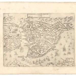
Venetia.
- $3,500
-
-
-