The Evolution of Boston Harbor, including an Early View of Logan Airport.
Bird’s Eye View of Boston Harbor.
Out of stock
Description
A very nice example of George Walker’s c. 1925 folding aquatint view of Boston Harbor.
Facing towards the southeast, the view takes in East Boston, South Boston, and the coastal portion of the South Shore to around Quincy. Part of Boston’s downtown, including South Station and the Custom House Tower, and industrial areas of South Boston appear in the foreground, along with local landmarks like Castle Island and the Dorchester Heights Monument. Numerous sites in the harbor are labelled, including islands, lighthouses, beaches, peninsulas, and forts, while steamer routes are traced. A multitude of ships of various types are illustrated plying the harbor.
Much of East and South Boston was built on relatively recent landfill. Perhaps the most notable feature on this map is the appearance of the ‘airport’ at left, at which an early airplane is landing. Established in 1923, the simply-named “Boston Air Port” was initially used by the Massachusetts Air National Guard and the United States Army Air Corps, before beginning commercial operations in 1927.
The Fore River Ship and Engine Co. at right is also worth pointing out. It produced early destroyers and submarines for the U.S. Navy at the turn of the 20th century, and in the 1920s built some of America’s first aircraft carriers.
This view was published by the (George H.) Walker Lithographic Co. in Boston around 1925. Walker issued this view several times between the late 19th and early 20th century, updating it each time to include new construction.
Cartographer(s):
George H. Walker was a Boston based book and map publisher.
Condition Description
Some very minor tears in upper center and lower left. Folds into cover measuring 16.5 x 14 cm (6.5 x 5.5 in).
References
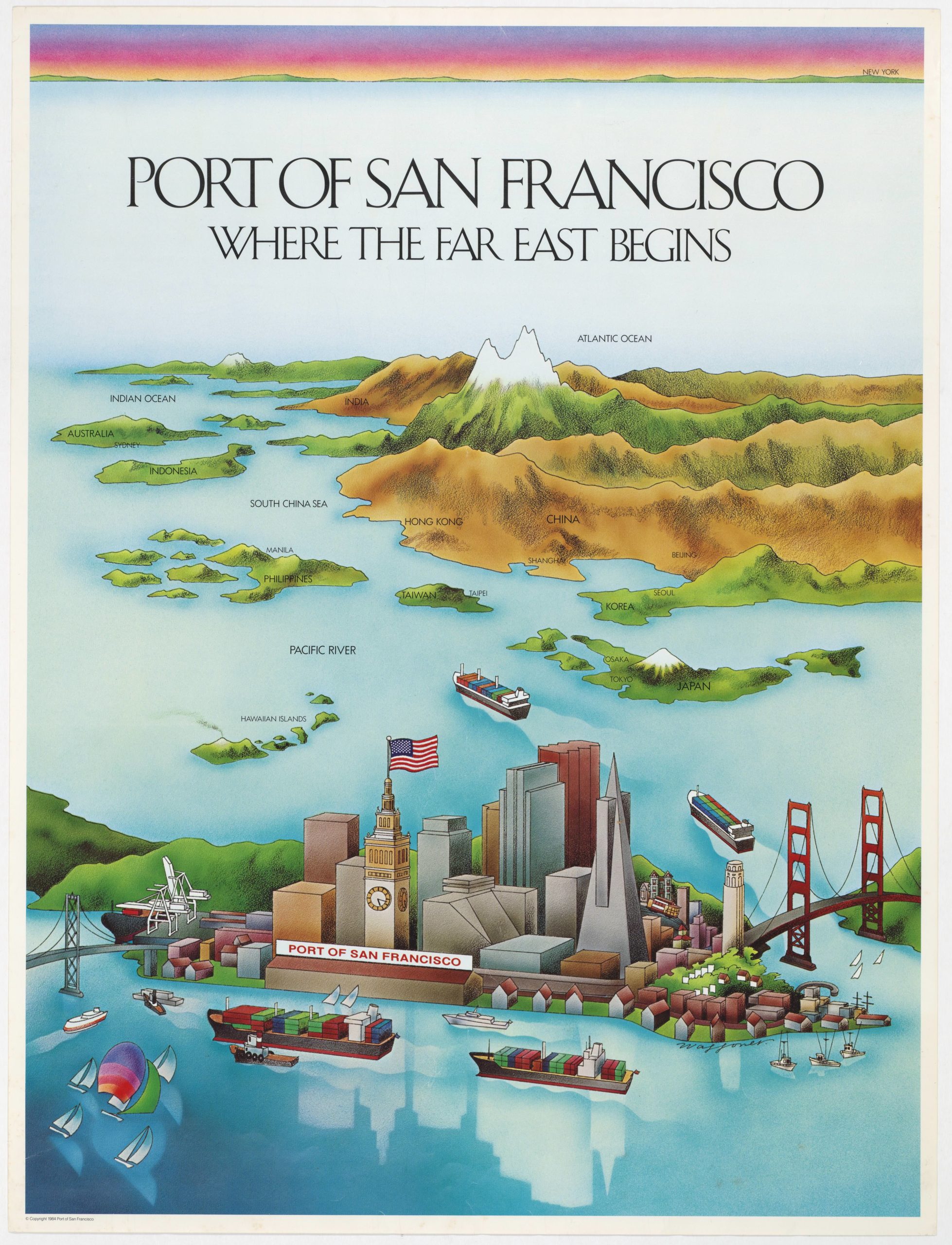
![PORT OF SAN FRANCISCO. WHERE THE FAR EAST BEGINS [Japanese language version]](https://neatlinemaps.com/wp-content/uploads/2021/01/NL-00879_Thumbnail-300x300.jpg)
![PORT OF SAN FRANCISCO. WHERE THE FAR EAST BEGINS [Japanese language version]](https://neatlinemaps.com/wp-content/uploads/2021/01/NL-00879_Thumbnail.jpg)
