Wonderful Whitaker & Ray pictorial wall map of the Bay Area
New Relief Map of the Bay Counties
Out of stock
Cartographer(s):
Whitaker & Ray Co.
Date:
1905
Place:
San Francisco
Dimensions:
99 x 78 cm (39 x 30.75 in)
Add to Wishlist
Add to Wishlist
Description
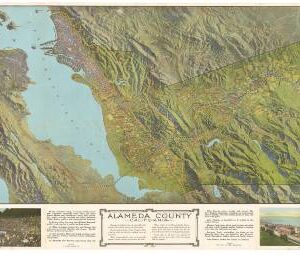
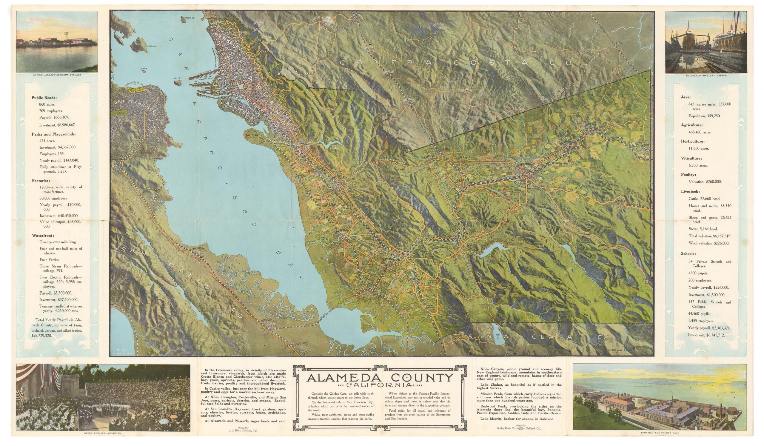
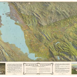
Rare map of the San Francisco Bay Area from Santa Cruz in the south to Napa in the north, and inland to Tracy. Details of cities and towns are shown pictorially, trains roll on the tracks connecting the communities, ships and boats ply the bay and ocean, trees grow in the forested areas. An attractive map.
OCLC/WorldCat lists only one copy, at Stanford University.
Mounted on linen, shellacked, wooden rollers at top and bottom.
Cartographer(s):
Condition Description
Some horizontal creases at top and bottom with cracking in surface, a bit of loss at top right; overall very good.
References

![The Original Silicon Valley Map & Calendar [1994]](https://neatlinemaps.com/wp-content/uploads/2021/06/NL-00909_Thumbnail-300x300.jpg)
![The Original Silicon Valley Map & Calendar [1994]](https://neatlinemaps.com/wp-content/uploads/2021/06/NL-00909_Thumbnail.jpg)