1906 Army Corps of Engineers San Francisco disaster map made weeks after earthquake.
Map of San Francisco, California. Showing limits of the Burned Area destroyed by the Fire of April 18th-21st, 1906, following the Earthquake of April 18th, 1906
Out of stock
Description
Map of San Francisco following the earthquake and subsequent fire in April of 1906. The map was created under William W. Harts, a Brigadier General and director of the California Debris Commission, whose job it was to help other corps of engineers re-establish order in the chaos resulting from the earthquake, and was, according to him, ‘prepared from the best information available in the office of the Chief Engineer, Pacific Division, U.S. Army, May 1906’.
The map’s color-coded legend shows the estimated area of destruction to be approximately 3,400 acres. It delineates boundaries, depicts relief camps, military headquarters, and relief districts. The map brings the events to life when studied, revealing as it does the magnitude of the destruction and devastation.
Assisted by Red Cross workers, the corps of engineers served meals around the clock, established tent camps, dug latrines, and played a pivotal role in providing temporary housing.
Harts and the Corps’ Pacific Division staff also prepared designs for prefabricated housing on wooden single-family unit designs. The Red Cross accepted Harts’s recommendation and contracted for 6,200 cottages able to house 20,000 displaced San Franciscans.
An addendum marks the locations of hot food locations throughout the city, many of which were located in parks, including Lafayette, Duboce, Jefferson, Washington Square, Golden Gate, as well as Union Square.
Cartographer(s):
Condition Description
Minor toning, foxing and damp staining.
References
![5-sheet set showing San Francisco’s post-1906 earthquake water supply [SF’s first fireboat!]](https://neatlinemaps.com/wp-content/uploads/2022/03/NL-01375-sheet-4_thumbnail-scaled-300x300.jpg)
![5-sheet set showing San Francisco's post-1906 earthquake water supply [SF's first fireboat!]](https://neatlinemaps.com/wp-content/uploads/2022/03/NL-01375-sheet-4_thumbnail-scaled.jpg)


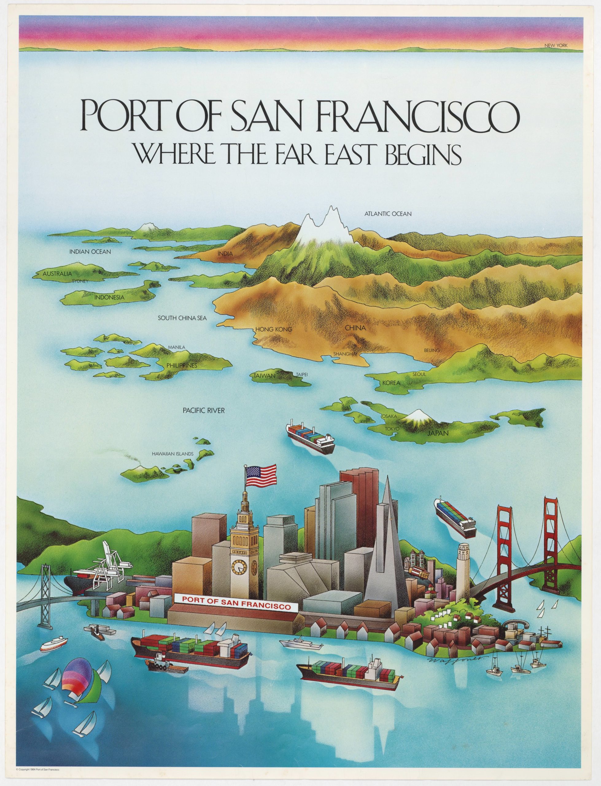
![PORT OF SAN FRANCISCO. WHERE THE FAR EAST BEGINS [Japanese language version]](https://neatlinemaps.com/wp-content/uploads/2021/01/NL-00879_Thumbnail-300x300.jpg)
![PORT OF SAN FRANCISCO. WHERE THE FAR EAST BEGINS [Japanese language version]](https://neatlinemaps.com/wp-content/uploads/2021/01/NL-00879_Thumbnail.jpg)

