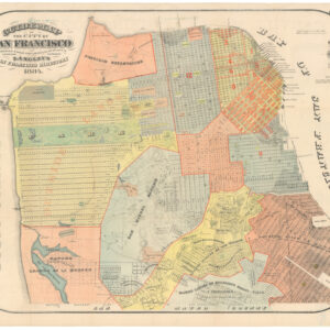
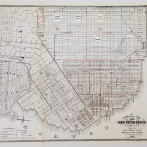
1898 Public Health Department map of San Francisco
Map of the City and County of San Francisco. Compiled from official surveys and engraved expressly for the San Francisco Health Department
Out of stock
Description
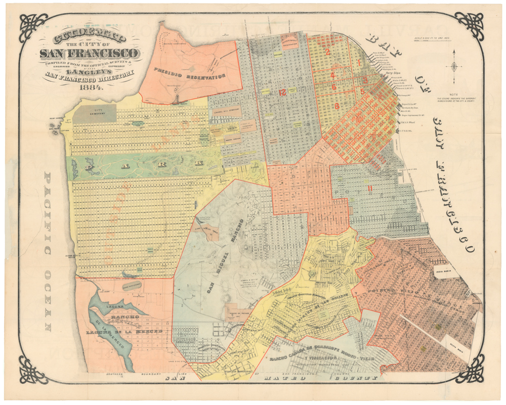
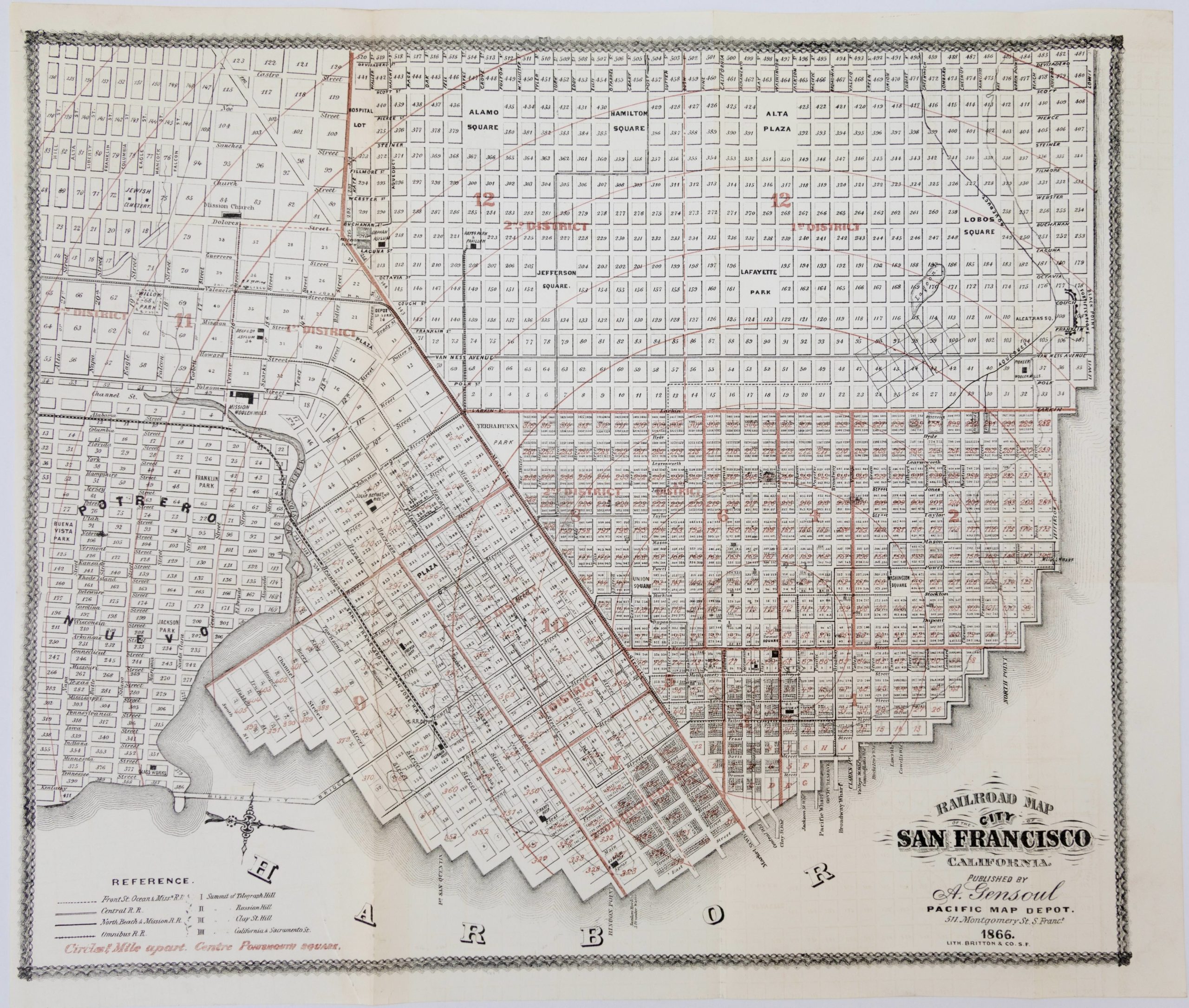
Lithographed map printed on glossy paper, backed with linen, folding into a half morocco & marbled boards cover (25 x 23 cm; 9¾ x 9 in).
OCLC/WorldCat has one record of six maps with the same title and general size, in color, reflecting such health matters as location of deaths, cases of tuberculosis, fatal cases of acute lung disease, etc. These were issued in the “Annual report of the Board of Health of the City and County of San Francisco for the fiscal year ending June 30, 1898.”
The present map would seem to be an unrecorded issue of a template map for those in the report.
The San Francisco Board of Health at that time was comprised of the following influential San Franciscans: Hon. James D. Phelan (Mayor), J. Henry Barbat (M.D.), Walter Coffey (M.D.), James W. Keeny (M.D.), Redmond W. Payne (M.D.), Wm. M. Lawler (M.D., Health Officer) E.B. Carroll (Secretary), Chas. B. Session (Statistician).
Verso Text: Blank
Cartographer(s):
Condition Description
Folder rubbed; map with several instances of wear at the folds; very good.
References