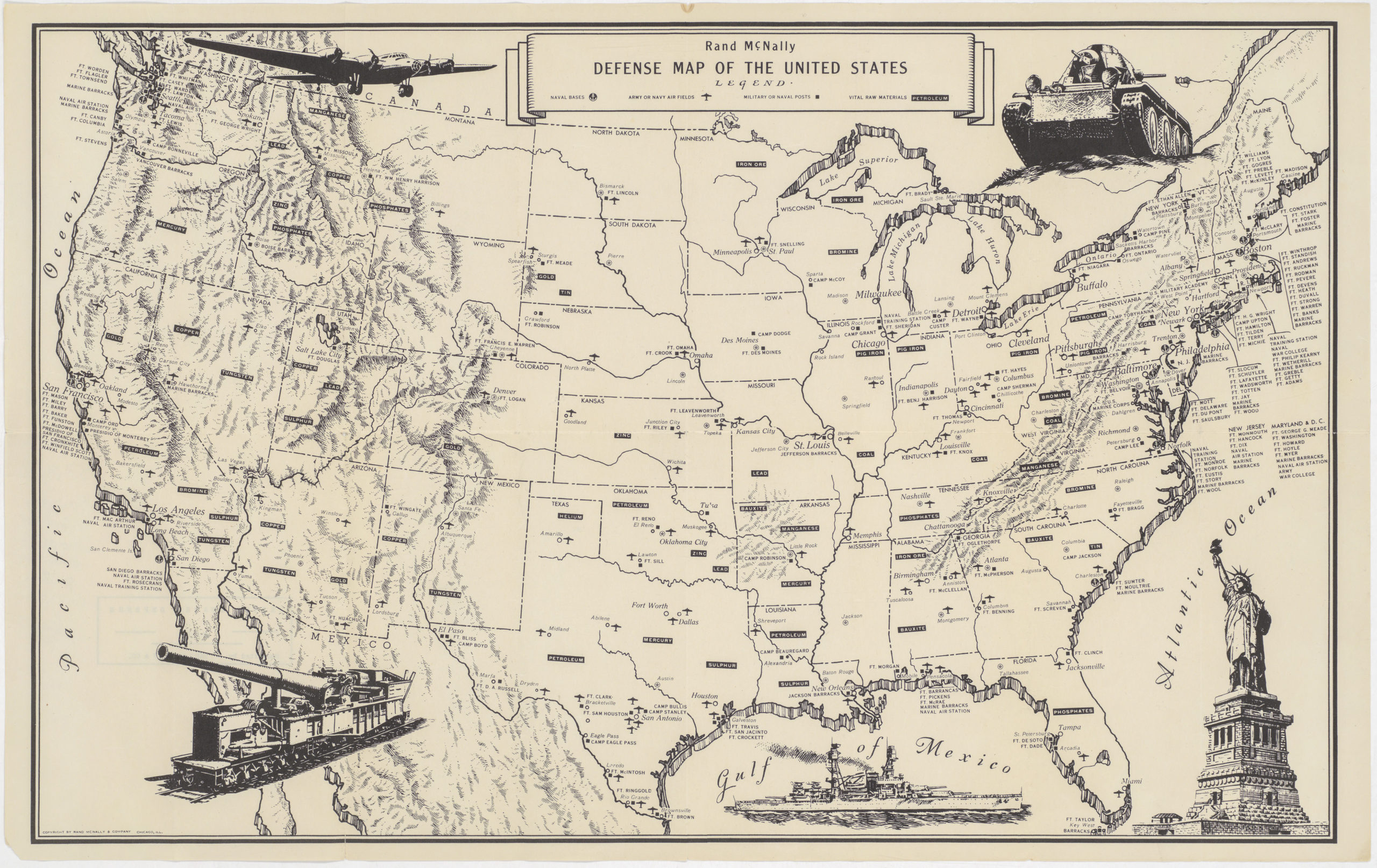
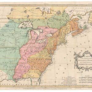
1785 map of the United States with alternative state names proposed by Thomas Jefferson
États-Unis de l’Amérique Septentrionale avec les Isles Royale, de Terre Neuve, de St. Jean, l’Acadie &c.
Out of stock
Add to Wishlist
Add to Wishlist
Description
Rare Antoine Boudet edition of this fascinating early map of the newly created United States, with a note which includes 10 new states proposed by Thomas Jefferson — Silvania, Michigania, Chersonesus, Arsenistpia, Metropotamia, Illinoia, Saratoga, Washington, Polypotamia, and Pelisypia.
Cartographer(s):
Condition Description
Excellent.
References
Karpinski CIII; Seller & Van Ee 187 (Boudet variant ed.).
