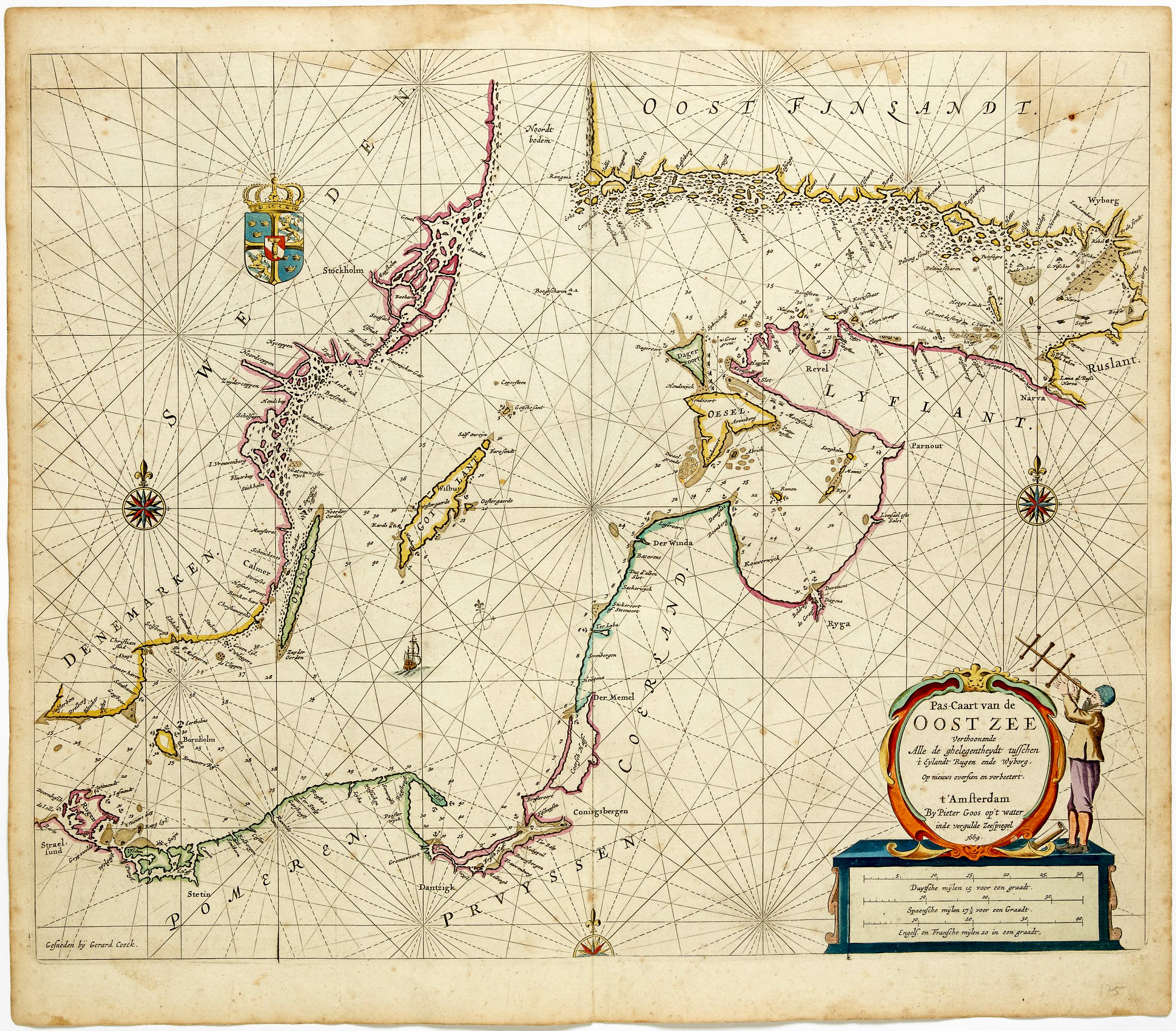
Scarce sea chart of part of Sweden
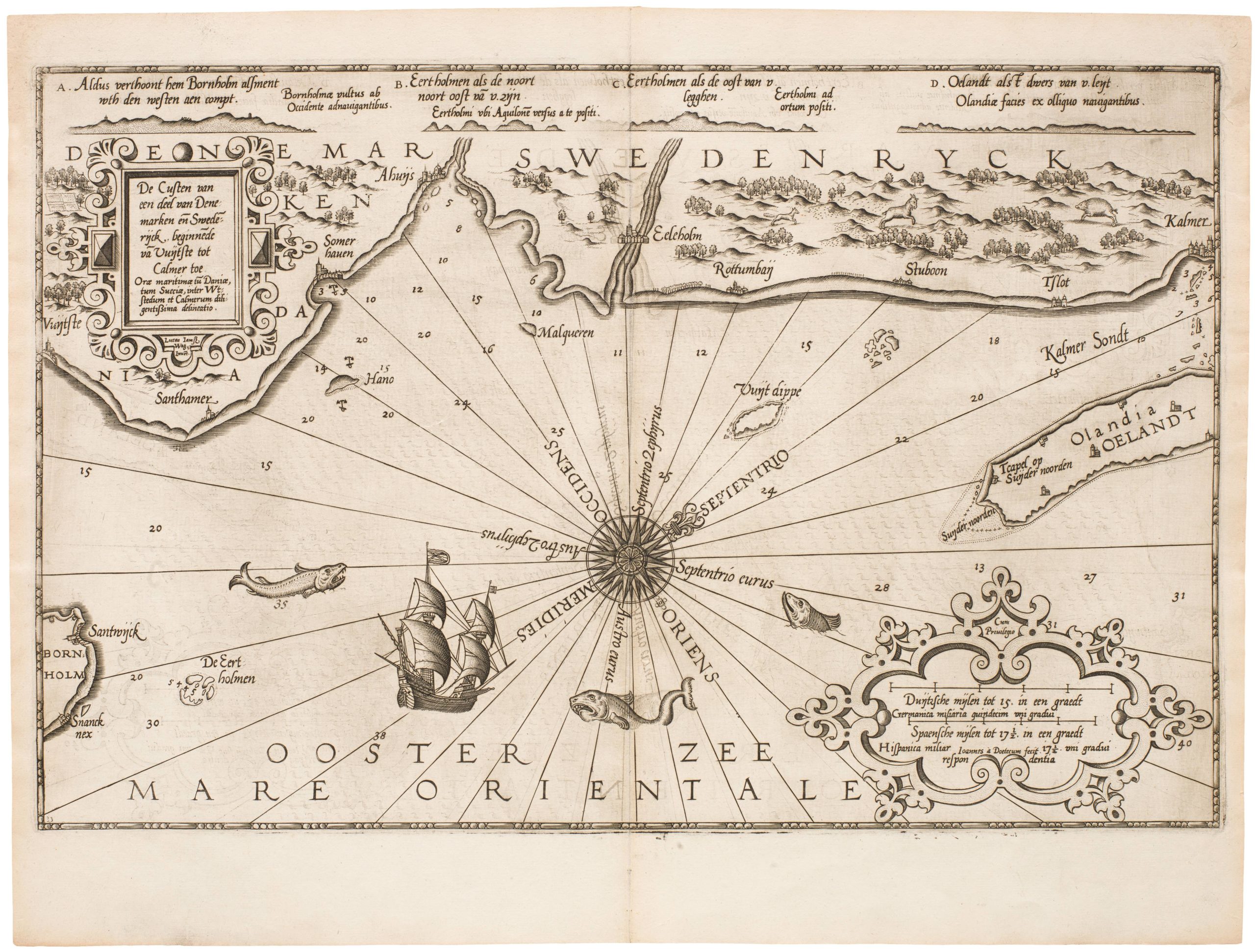
Zee Custe van Sweeden Otrent de Westerwijk en Tgatt vann Stockholm Beginnende va Kalmar Tot sen Wigsteen en Rookoe Gelegen bijnnen Tgatt va Stockholm / Coste Marine de Suede a l’entour de Westerwijck & bouchede Stockholm…
Out of stock
Description
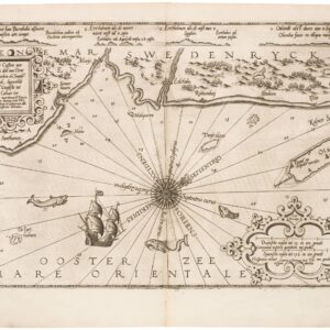
Rare sea chart, with two cartouches, a compass rose, ships, sea-beasts and a bear, a fox, and a wolf.
Smalandt = Södermanland, Meller fluvius = Lake Mälaren.
Lucas Janszoon Waghenaer (1533/34 – 1606) was a Dutch chief officer and cartographer. He is one of the founding fathers and most famous members of the North Holland school, which played a major role in the early development of Dutch nautical chart-making. His first publication appeared in 1584, and was called Spieghel der zeevaerdt (‘Mariner’s mirror’). This chart-book combined an atlas of nautical charts and sailing directions with instructions for navigation on the western and north-western coastal waters of Europe. It was the first of its kind in the history of maritime cartography, and was an immediate success.
The skill and beauty of his engravings, combined with the fact that these are some of the earliest sea charts available on the market, make Waghenaer maps important collectors’ items.
Cartographer(s):
Lucas Janszoon Waghenaer (c. 1534–c. 1606) was a Dutch cartographer, known for his pioneering contributions to nautical geography and mapmaking. Part of his success as a mapmaker hinged on his personal experience at sea. For almost thirty years he served aboard ships, starting as the decoy, but soon working his way up to chief officer and sailing on most of the major ports of Europe. After retiring from a life at sea, he began compiling maps, publishing his first major work, Spieghel der zeevaerdt (Mariner’s Mirror), in 1584. This was a distinctly nautical atlas, and something the world had not seen before. It attained huge popularity and was followed by another two nautical atlases in 1592 and 1598.
Despite the success of his volumes, he died in poverty.
Condition Description
Some browning to centerfold, some soiling.
References
Digitalized Thresoor, 1596, University of Utrecht http://objects.library.uu.nl/reader/index.php?obj=1874-284749&lan=en#page//11/78/56/117856965758091811136072475989788953388.jpg/mode/1up
