Excellent large-format folding map of Europe with city views and figures in local dress.
Carte pittoresque & maritime de l’Europe: indiquant la division des Etats, les routes et chemins de fer…
Out of stock
Description
This is a large mid-19th century folding map of Europe, distinguished by a rich array of fantastic vignettes.
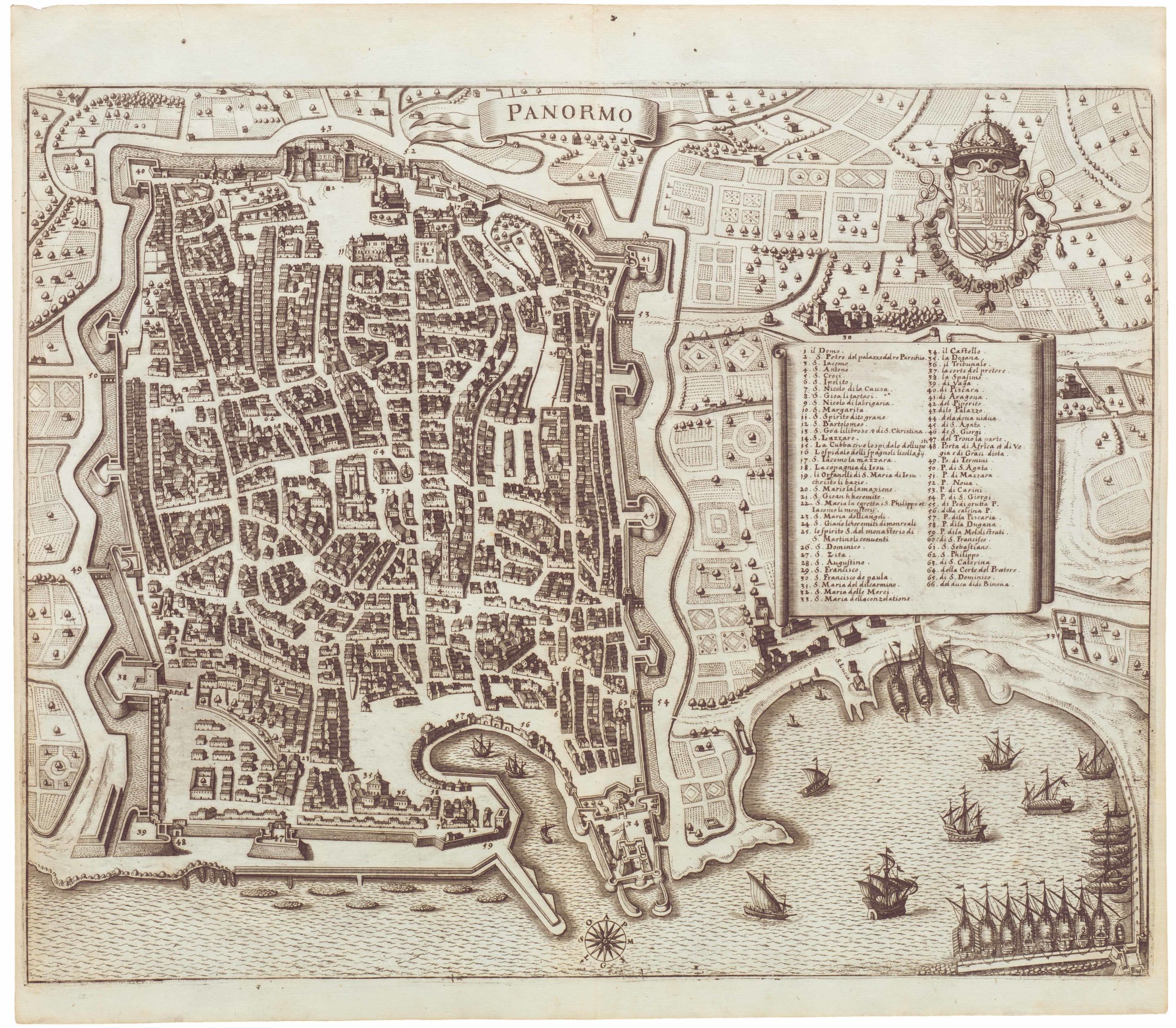
Along the left side of the map is a series of fine views of the major cities of Europe, including Pairs, London, Vienna, Istanbul, Berlin, Madrid, Rome, Lisbon, and more, each executed with a high degree of artistry. Additional views, mostly of important port cities, are scattered throughout the map, including maritime centers like Cork, Edinburg, Palma, Algiers, Palermo, Odessa, and a second, spectacular view of Constantinople.
A set of vignettes along the right side of the map features the peoples of various European nations in traditional dress.
Cartographer(s):
Alexandre Aimé Vuillemin (1812-80) was a Parisian engraver, publisher, and mapmaker. He studied under the prominent French geographer Auguste Henri Dufour (1798 – 1865), and his most important include the detailed and decorative large-format maps such as the current Nouveau Plan Illustré de la Ville de Paris avec le systeme complet de ses fortifications et forts détachés or his maps for the Atlas Illustre de Geographie Commerciale et Industrielle.
FatoutCondition Description
Even age-toning and minor wear. Original linen.
References
![[Map of Steamship Routes and the Railways and Post Roads of the Russian Empire]](https://neatlinemaps.com/wp-content/uploads/2020/04/NL-00827_Thumbnail-300x300.jpg)
![[Map of Steamship Routes and the Railways and Post Roads of the Russian Empire]](https://neatlinemaps.com/wp-content/uploads/2020/04/NL-00827-scaled.jpg)
![[Map of Steamship Routes and the Railways and Post Roads of the Russian Empire]](https://neatlinemaps.com/wp-content/uploads/2020/04/NL-00827-scaled-300x300.jpg)