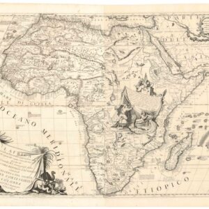
A fine late 19th-century Italian map of Egypt and the Red Sea.
Carta dell’ Egitto, Sudan, Mar Rosso, Assab, Massaua, Abissinia ecc.
Out of stock
Description
This exciting Italian map of Egypt, Sudan, and the Red Sea provides a detailed look at the topography and settlements of the region in the context of the “Scramble for Africa.” In particular, two detailed insets of Massawa and its surroundings reflect the strategic and geopolitical significance of this port city during the late 19th century.
Massawa was captured by the Italians from the Egyptian administration in 1885, just two years before the publication of this map. Following this, it became a significant part of Italy’s colonial territories in East Africa.
After securing Massawa, Italy gradually expanded its territorial possessions, eventually establishing the colony of Italian Eritrea. Massawa served as one of the primary coastal bases for Italy in the region. The establishment of Italian Eritrea later facilitated Italy’s ambitions to further its interests in the Horn of Africa, notably its attempts to conquer Ethiopia.
Cartographer(s):
Condition Description
Some discoloration, small tears along fold lines.
References
![[Title on Verso] Tabula Prima Aphricae Continent Mauritania Tingitanam, & Mauritaniam Caesariensem](https://neatlinemaps.com/wp-content/uploads/2019/09/NL-00293_Thumbnail-300x300.jpg)
![[Title on Verso] Tabula Prima Aphricae Continent Mauritania Tingitanam, & Mauritaniam Caesariensem](https://neatlinemaps.com/wp-content/uploads/2019/09/NL-00293_r-scaled.jpg)
![[Title on Verso] Tabula Prima Aphricae Continent Mauritania Tingitanam, & Mauritaniam Caesariensem](https://neatlinemaps.com/wp-content/uploads/2019/09/NL-00293_r-scaled-300x300.jpg)