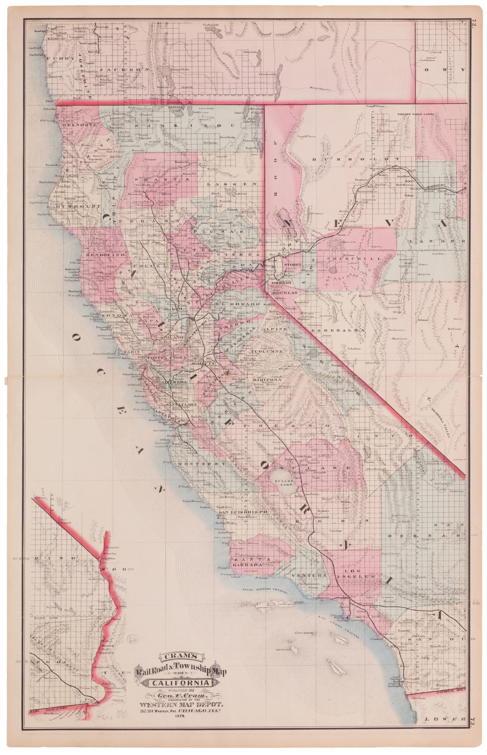
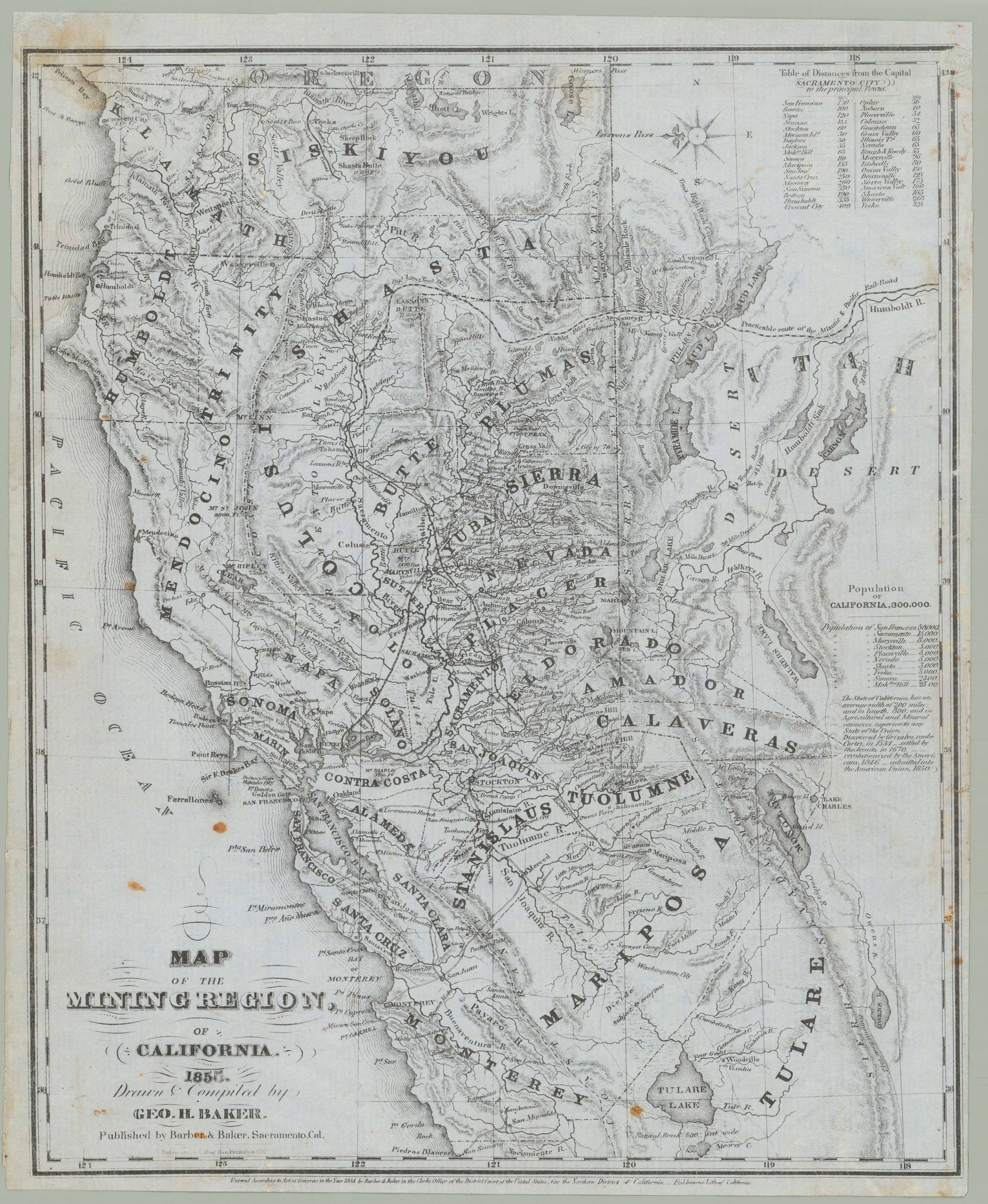
Detailed interwar highway map of California.
Highway Map of the State of California
Out of stock
Description
Large and detailed map of California in excellent condition. The mapmaker has employed a simple and attractive color scheme to create a clear image in which highways marked in red stand out and cities and towns are easy to read. The map is not dated but was published before the construction of the Golden Gate Bridge (completed in 1937).
Cartographer(s):
The California State Automobile Association (CSAA), also known as AAA Northern California, Nevada & Utah, is a prominent automobile club that has played a significant role in California’s transportation history. Established in 1900, the CSAA has been serving its members by providing roadside assistance, promoting road safety, and offering various travel-related services.
Condition Description
Excellent. Binder holes. Folds up.
References
