A detailed look at Telegraph Hill in 1955.
Locality Map of Telegraph Hill Area. San Francisco.
Out of stock
Description
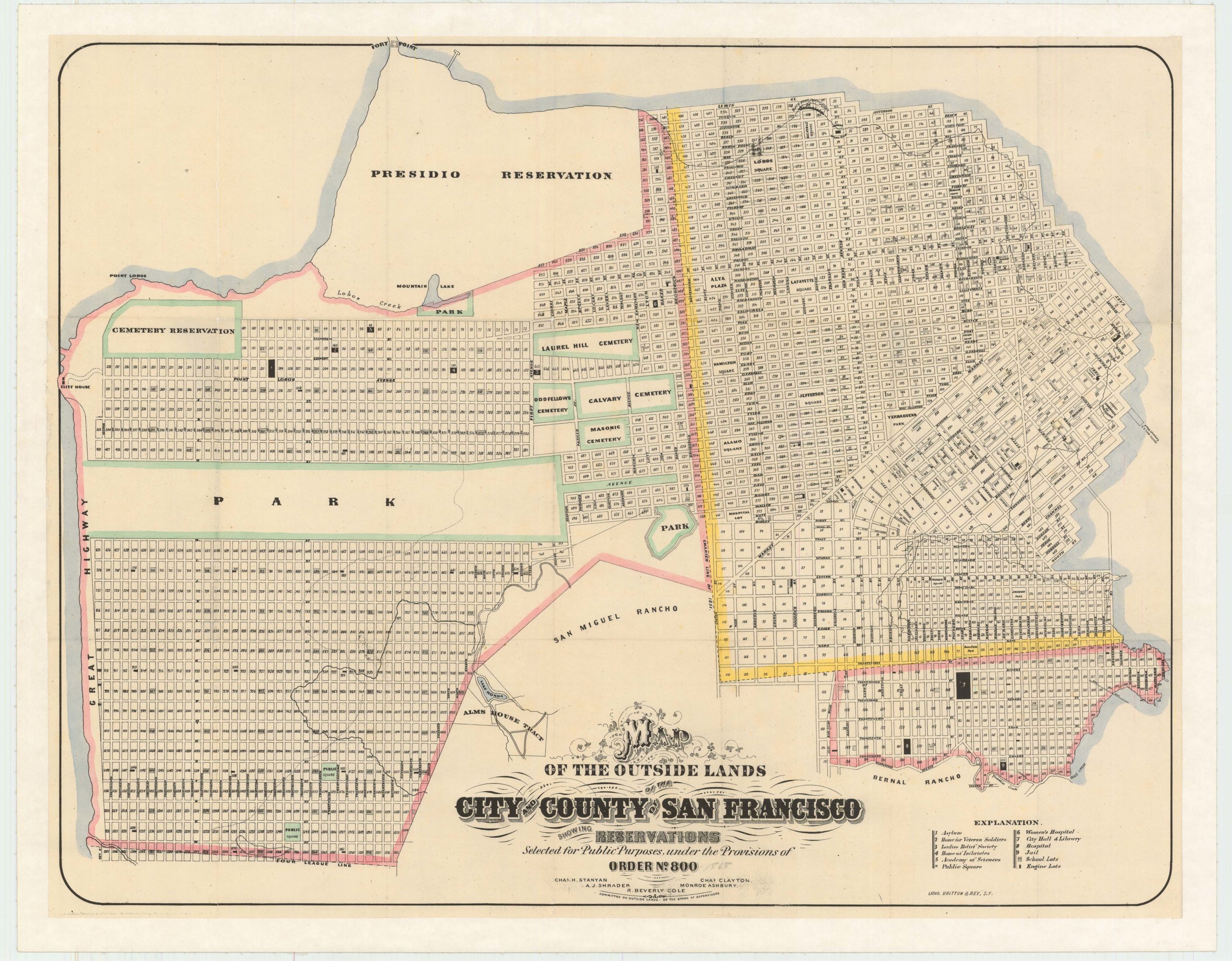
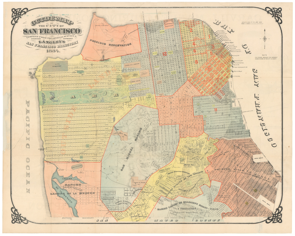
This mid-1950s map of San Francisco’s Telegraph Hill provides a snapshot of one of the city’s most famous neighborhoods in the midst of its post-WWII boom years. The waterfront appears more industrial than today, with numerous rail lines that would feed to the network of nearby docks and into the neighboring streets.
This uncommon map spans from California street up to Jefferson, from Hyde Street to the shore. Among the key features of the area, we find most prominently Coit Tower, one of San Francisco’s most iconic landmarks. The art deco tower was completed in 1933.
It extends to the facing slope of Russian Hill, with its famous alleyways like Macondray Lane.
Cartographer(s):
Condition Description
Very good.
References