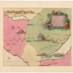
A Spectacular World War II-era View of the Holy Land.
Palestine in Third Dimension.
$975
1 in stock
Description
A scarce and stunning view of the Holy Land, prepared by archaeologist and missionary G. Frederick Owen in 1942 and published by the Beacon Press in Kansas City, Missouri.
Oriented towards the north, the view looks out over the Dead Sea, River Jordan, Sea of Galilee, and the Holy Land, illustrating areas of elevation, roads, railroads, settlements, and terrain in rich, beautiful color. It is noteworthy for including both contemporary (c. 1942) and ancient placenames. Drawings of boats, a shepherd and flock, and camel caravans add a whimsical touch to the view. The map was primarily intended for
At the time of this view’s publication, British Mandatory Palestine was riven by deep divisions between Jews and Arabs, and between both communities and the British administration. The British generally encouraged Jewish immigration, and rising anti-Semitism in Europe also strengthened the Zionist movement and provided a ‘push’ factor for migrants. The result was interethnic tensions, massacres, and uprisings. In the late 1930s, the British restricted Jewish immigration in reaction of Arab discontent, angering Jews, and proposed a partition plan, which was unpopular with both Jews and Arabs.
This view is quite rare; the OCLC (787099418) records it at seven institutions worldwide, though the cataloging notes suggest that at least one of these examples of a later reprint (of which there were several, with known printings in 1955, 1967, and 1981). It is also scarce to the market, only appearing occasionally. As the title cartouche suggests, an accompanying mileage chart (OCLC 320895415) was also published, though appears to be extremely rare today.
Cartographer(s):
Condition Description
Even toning throughout. Water stain along edge and margin at left. Cracking on surface. Mounted on rollers.
References

![[Persuasive Cartography] Die Araber, Israel und die Supermächte.](https://neatlinemaps.com/wp-content/uploads/2025/10/NL-02133_thumbnail-300x300.jpg)

![ОБЩІЙ ВИДЪ СВ. ГРАДА ІЕРУСАЛИМА [General View of the Holy City of Jerusalem].](https://neatlinemaps.com/wp-content/uploads/2026/02/NL-02492_thumbnail-300x300.jpg)