A gorgeous, old color 17th-century map of the Bourgogne wine district.
Ducatus Burgundiae Nova Descriptio Divisa, Correcta, et Edita.
Out of stock
Description
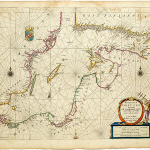
This charming regional map by eminent Dutch mapmaker Frederick de Wit was included in a composite regional atlas published around 1680. It depicts the Duchy of Burgundy, known in French as Bourgogne. De Wit compiled the map based on a prototype by Willem Blaeu (1631). It constitutes an excellent and detailed capture, which, in this case, is further enhanced by the map’s exquisite original color.
The map is oriented with the east at the top, as was common in regional European maps in the late 16th and 17th centuries. Winged putti surround the title cartouche in the lower right corner. Two more are in the lower left corner, hovering above the double-scale bar. We find numerous pictorial details, such as woodlands and mountains, which all enhance the map’s appearance.
The map’s subject—Bourgogne—is one of the most prestigious and sought-after wine districts in the world today. As such, the explicit rendering of rivers is also crucial to aficionados. The map elegantly bridges the collectible fields of cartography and viniculture and would be a sophisticated and vibrant addition to any wine cellar or francophile home.
Cartographer(s):
Frederick de Wit (1629–1706) was a Dutch cartographer and artist who drew, printed, and sold maps from his studio in Amsterdam. He was a pioneer of Dutch Golden Age cartography, and the founder of one of the most famous map-publishing houses in Amsterdam. He was born in Gouda but moved to Amsterdam at the end of the Thirty-Years-War (1618-48), which had engulfed most of Europe and ultimately liberated the Netherlands from centuries of Spanish dominion.
Soon after arriving in Amsterdam, probably in 1654, De Wit opened a printing shop named The Three Crabs (De Drie Crabben). A year or two before, he had married Maria van der Way, the daughter of a wealthy Catholic merchant, and this may have helped secure the funding to start his new operation. His aspirations as a cartographer were nevertheless made clear when he shortly after changed the name to The White Chart (Het Witte Pascaert), under which he gained international renown.
In the latter half of the century, De Wit began drawing, copying, and publishing atlases and maps. By the 1670s he was issuing large folios with up to a hundred maps in each tome, including a famous nautical atlas in 1675. From 1689, De Wit received a state privilege from the Dutch government to draw and issue maps. This protected his work from the illegal copying known from his earlier charts. De Wit was among the first to apply extensive coloring and his original color atlases and continental charts remain highly sought after to this day.
Following De Wit’s death in 1706, his wife ran the business for four years before selling it at auction in 1710. Their only surviving son was a successful merchant in his own right and had no interest in taking over. At the 1710 auction, most of De Wit’s plates were sold to Pieter Mortier, another Amsterdam cartographer and engraver. After passing the firm to his son, who teamed up with Johannes Covens, the firm became Covens & Mortier, the largest cartographic publisher of the eighteenth century.
Condition Description
Full contemporary color on a bright sheet with an "H" watermark and marginal soiling.
References
![[Map of Steamship Routes and the Railways and Post Roads of the Russian Empire]](https://neatlinemaps.com/wp-content/uploads/2020/04/NL-00827_Thumbnail-300x300.jpg)
![[Map of Steamship Routes and the Railways and Post Roads of the Russian Empire]](https://neatlinemaps.com/wp-content/uploads/2020/04/NL-00827-scaled.jpg)
![[Map of Steamship Routes and the Railways and Post Roads of the Russian Empire]](https://neatlinemaps.com/wp-content/uploads/2020/04/NL-00827-scaled-300x300.jpg)