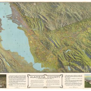
Excellent 1871 map of Oakland with Transcontinental Railroad terminus – lithographed by famous African American artist G.T. Brown.
E. C. Sessions’ Map of Oakland and Brooklyn
Out of stock
Description
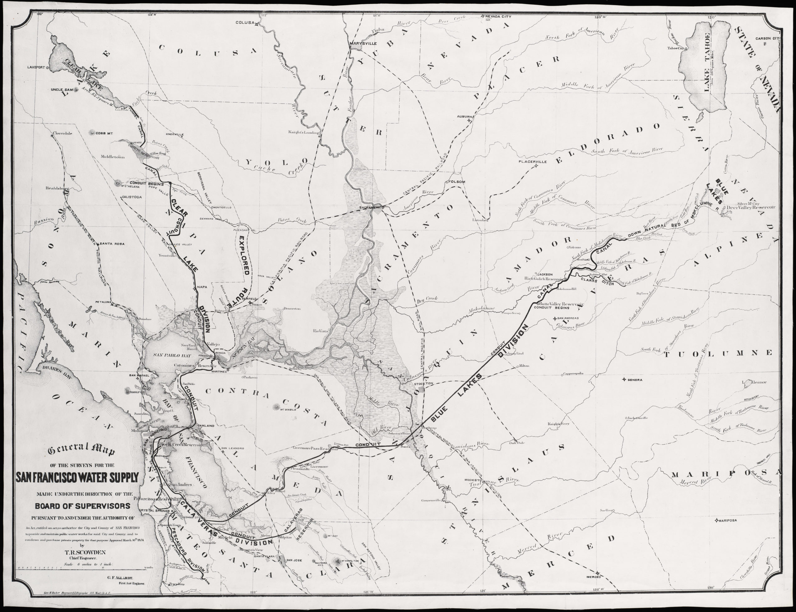
Important 19th century map of Oakland with an inset of Oakland and San Francisco. The map includes a lot of interesting railroad information, including lines extending out along the long wharves in San Francisco Bay, the terminus of the Transcontinental Railroad, completed just two years prior. For a traveler headed from the East Coast to San Francisco, this was the penultimate stop; from here he or she would take a short ferry ride to San Francisco (this being before the Bay Bridge).
Water lots are shown along the San Antonio estuary. Lake Merritt is labeled only “Lake.” The city charter line and important landing holdings are among the many fascinating features found on this map.
Cartographer(s):
Grafton Tyler Brown (1841–1918) was an American painter, lithographer, and cartographer. Brown was the first African American artist to create works depicting the Pacific Northwest and California. The son of a freedman, Brown worked for a printer in Philadelphia before moving to San Francisco in the 1860s. In San Francisco, Brown worked at Kuchel & Dressel from 1861 until 1867, when he opened his own firm and in 1878 created The Illustrated History of San Francisco, which consisted of 72 topographical images of the city.
Brown’s work in the Bay Area and in the Nevada Territory included documentation of settlements, property sales, claims and city boundaries. His works are held in the collections of the Oakland Museum of California, Smithsonian American Art Museum, and the Los Angeles County Museum of Art.
Condition Description
Short tear in left edge.
References