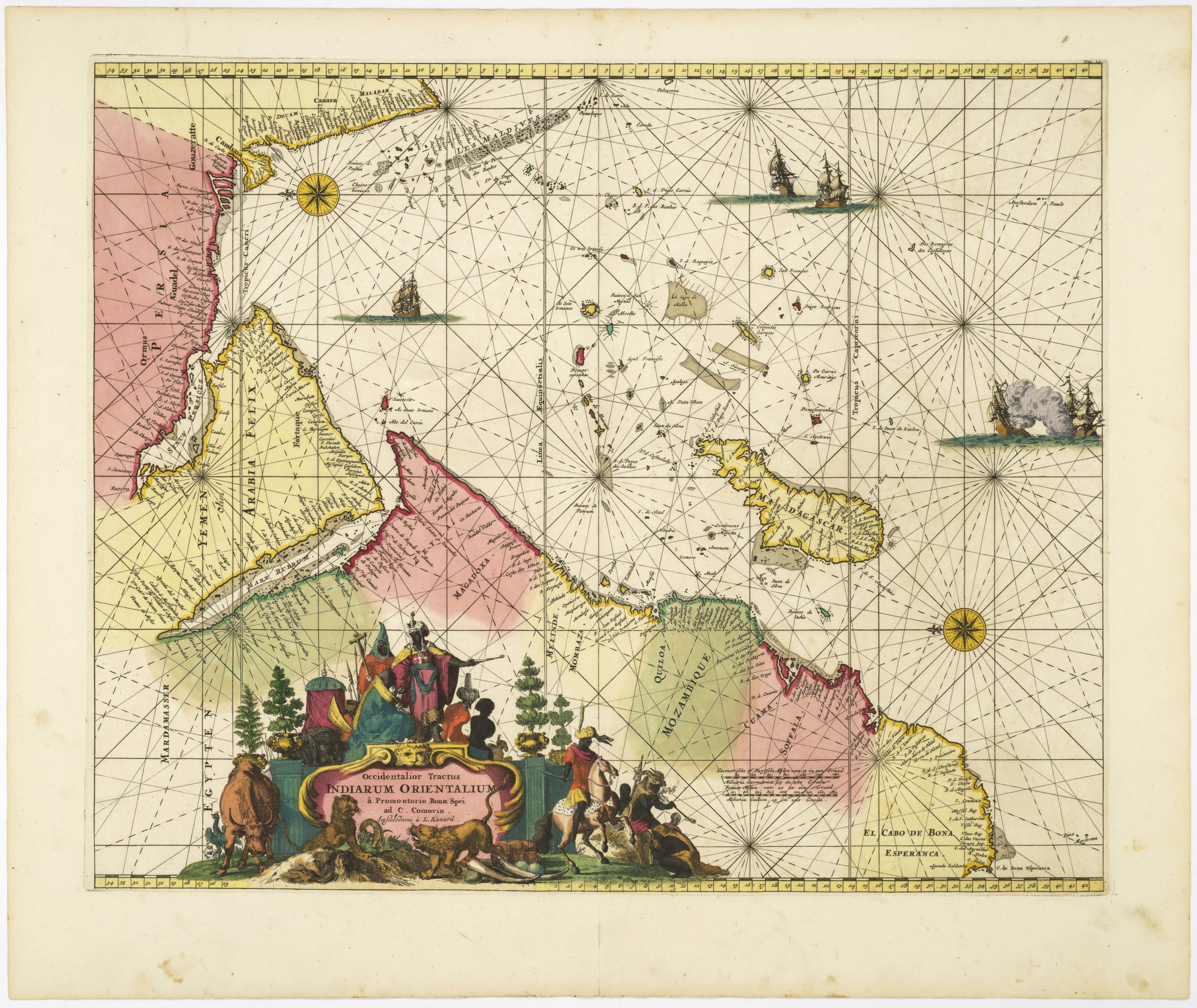
Detailed Tirion map of Arabia in excellent colors.
Nieuwe kaart van Arabia…
Out of stock
Description
An attractive map of the Arabian Peninsula, here called Gelukkig Arabia (Happy Arabia). This map made great advances on other contemporary maps in showing the true extent of Turkish power.
It features a curious mountain system, dividing the Peninsula into smaller regions. A large cape K. Ibrahim just into the sea labeled S. of Gida is well-drawn; t’Ryk van Yemen covers all of the southern peninsula.
Tibbetts notes that the foundation in the second half of the 17th century of the French Academie Royale des Sciences and the British Royal Society, as well as similar institutions in other capitals of Europe, led to the encouragement of travel and astronomical sciences and an increase in the accuracy of maps. The first cartographer of this new age was Guillaume De l’Isle, and with his maps there comes a new step in the cartographic representation of Arabia.
De l’Isle was the model for succeeding cartographers, including Isaak Tirion. Although errors persist, we begin to see less fabrication in the interior and new information, most notably the pilgrimage route from Basra to Mecca. This is accompanied by additional data on wells and religious points of interest.
Overall, an excellent example of 18th centuryadvances in the mapping of Arabia.
Cartographer(s):
Isaak Tirion (1705 in Utrecht – 1765 in Amsterdam) was an 18th-century publisher from the Northern Netherlands.
Condition Description
Excellent impression with ample margins.
References
Tibbetts, G. R. Arabia in Early Maps. New York, NY: Oleander Maps, 1978.
