Cool pictorial Bay Area and wine country map for a St. Helena winery.
Map Showing Main Highways to Beringer Bros. Winery and Other Interesting Points
Out of stock
Description
This delightful map of the Bay Area appears in a pamphlet promoting the Beringer Brothers Winery in St. Helena. It shows San Francisco, San Pablo, and Suisun Bays and traces various routes to the winery.
Starting with San Francisco and moving clockwise, we first see Sausalito and nearby Muir Woods and hikers on Mt. Tamalpais, followed by San Rafael and an illustration of the San Rafael Mission 1817. At Ignacio the road splits, with one route heading over Petaluma Creek and past a dairy farm to Sonoma, with its mission and Jack London’s house. The other route heads north past Novato to Petaluma and its chickens to Santa Rosa with Burbank’s Gardens.
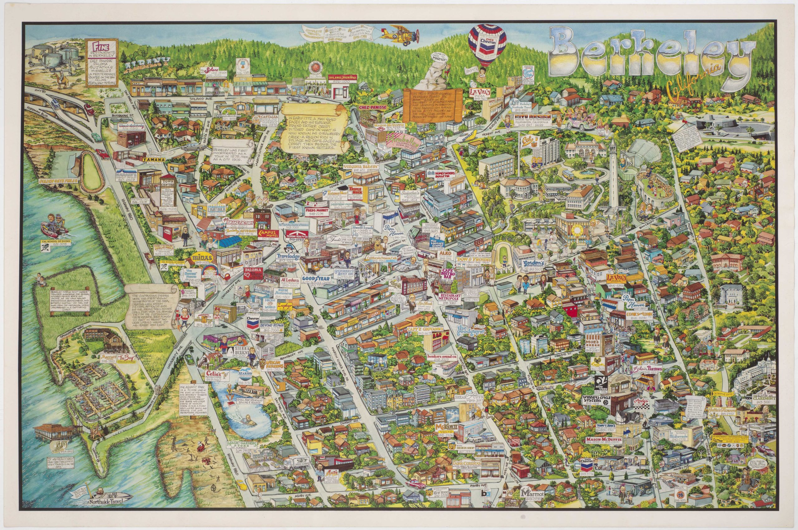
The road continues to Calistoga, with nearby geysers, the Silverado Trail, and the home of Robert Louis Stevenson, and then to the destination point of St. Helena and the Los Hermanos Winery being promoted by the pamphlet. Next is Yountville, Napa, Vallejo and the U.S. Navy yard at Mare Island, Richmond and its refineries, and Berkeley with the nearby University of California and illustrations of its stadium and campanile. The last stop before we return to San Francisco is Oakland and we see the Golden Gate International Exposition on Treasure Island.
A vignette of the winery spans the top of the map, and a compass rose adorns the bottom right corner. The pamphlet’s cover showcases “our famous underground tunnels” and includes some recipes.
Cartographer(s):
Condition Description
Near fine.
References
