The first tube across San Francisco Bay?
Trans-Bay Tube Study General Plan Location no. 12
$550
1 in stock
Description
An engineering blueprint related to the complete overhaul of public transportation infrastructure in post-WWII San Francisco.
This exciting (and previously unknown to us) engineering blueprint plan from San Francisco just after the end of the Second World War is a testimony to the creation of American modernity as we know it. Likely part of an early feasibility study, the plan depicts the schematics for a tunnel under San Francisco Bay that never came to fruition. It appears to have been drawn by San Francisco’s city engineers and was printed under the State of California’s Department of Public Works. It predates the Bay Area Rapid Transport system (BART) by decades, and the actual transportation tubes built under the Bay lie well to the north of this location.
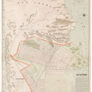
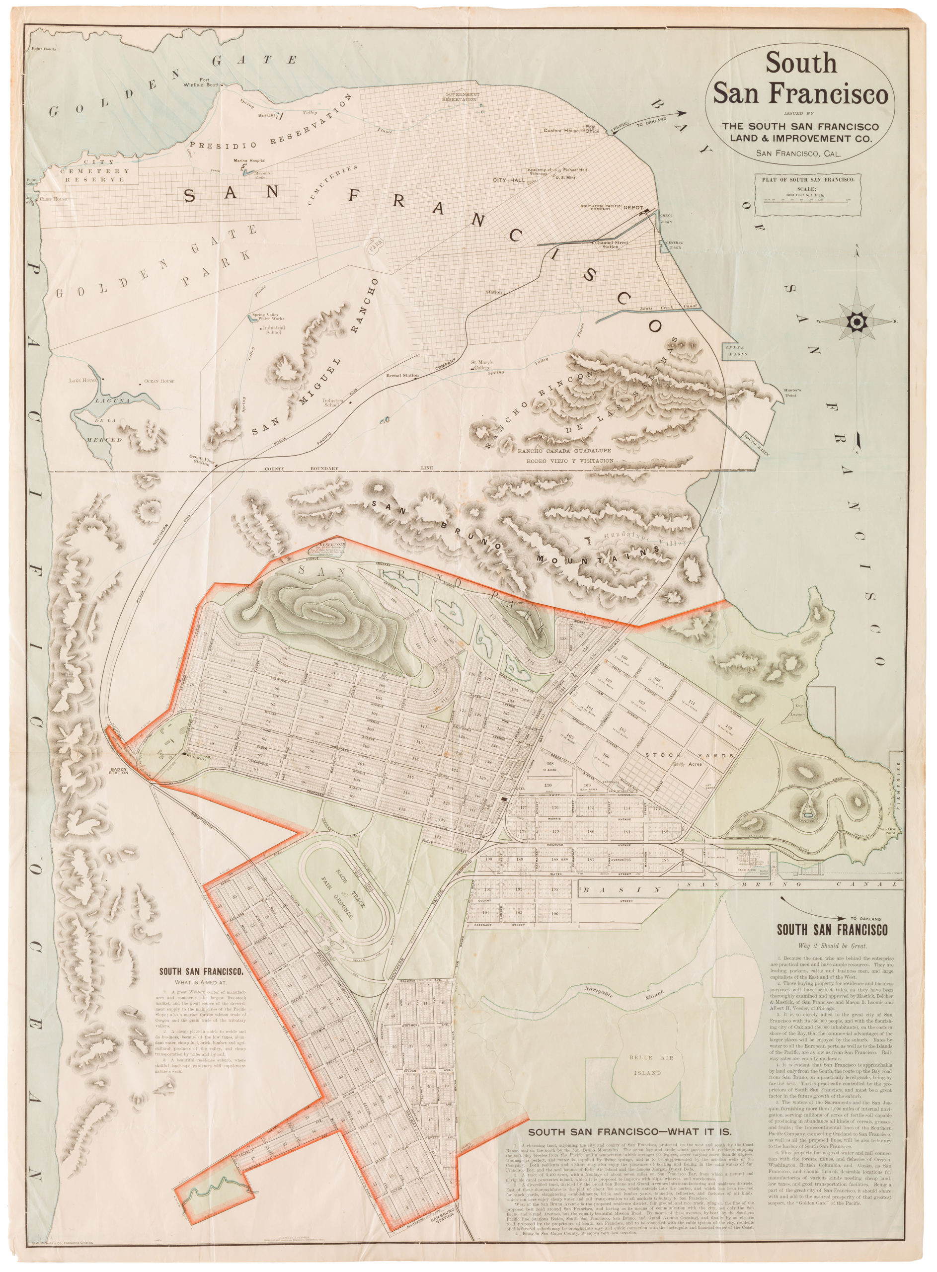
On the map, we see the schematic plan for a transportation tube that extends into the Bay from the southern end of the Dogpatch. More precisely, it juts out from the San Francisco Peninsula just north of the Isles Creek Channel and seems to extend from what today is Cesar Chavez Street (then Army Street). Running across the Bay, the tunnel emerges from the water to meet a long pier or mole that extends from Alameda just south of the Naval Base (NAS) near Ballena Bay. The NAS, at this stage still in full function, looms large in the composition but has no detail, reflecting its role as one of the Pacific Coast’s most important naval bases. The plan does provide schematic street outlines for parts of San Francisco, Alameda, and Oakland.
At the very top of the plan, we see a cross-section drawing of the entire span of the proposed tunnel, which shows elevations in the submerged topography in relation to the proposed installation. Interestingly, the tunnel tube is not meant to rest on the seabed. Instead, it is suspended between anchoring points on either side of the bay. These were set at the end of long causeways, which lay in an extension of the large west-swerving mole on the Alameda side. Fenders link the causeway anchorages to the submerged tunnel, in effect creating an early blueprint for some of San Francisco’s most crucial infrastructure. Immediately below the section profile, a cross-section of the four tunnel tubes has been drawn to scale.
This quirky plan comes from a time when San Francisco was still reeling from the challenges of World War II. Nevertheless, it was also an age of American history in which the nation was eager to move forward and rebuild bigger and better. This plan is a vital piece of California history that represents some of the trends that engulfed the United States in the post-war years. Plans to massively expand the urban infrastructure of America were being put into effect all over the country. In San Francisco, construction of the BART system commenced only in 1964, while the San Francisco Bay Area Rapid Transit District behind it had been in formal operation since 1957.
We are thus dealing with one of the earliest cartographic manifestations of post-WWII modernity in America and an impressive new vision for public transport infrastructure in one of the country’s most densely inhabited areas. The fact that it would take close to thirty years to realize this vision for San Francisco says something about the scale at which city planners were thinking during this dynamic period of American history.
Census
We have not been able to locate any other copies of this plan in any institutional collection. It is not listed by OCLC, just as it is not in the archives of the California Historical Society or the online archives of the University of California (calisphere.org).
Cartographer(s):
Condition Description
3 vertical creases, some minor discoloration.
References


![PORT OF SAN FRANCISCO. WHERE THE FAR EAST BEGINS [Japanese language version]](https://neatlinemaps.com/wp-content/uploads/2021/01/NL-00879_Thumbnail-300x300.jpg)
![PORT OF SAN FRANCISCO. WHERE THE FAR EAST BEGINS [Japanese language version]](https://neatlinemaps.com/wp-content/uploads/2021/01/NL-00879_Thumbnail.jpg)