A true San Francisco rarity: Gifford and Nagel’s early view of Lone Mountain and the ‘Outside Lands.’
Lone Mountain Cemetery, San Francisco.
Out of stock
Description
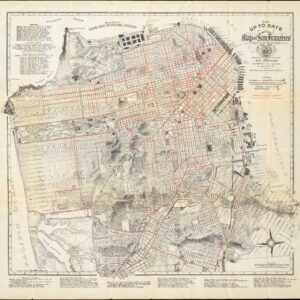
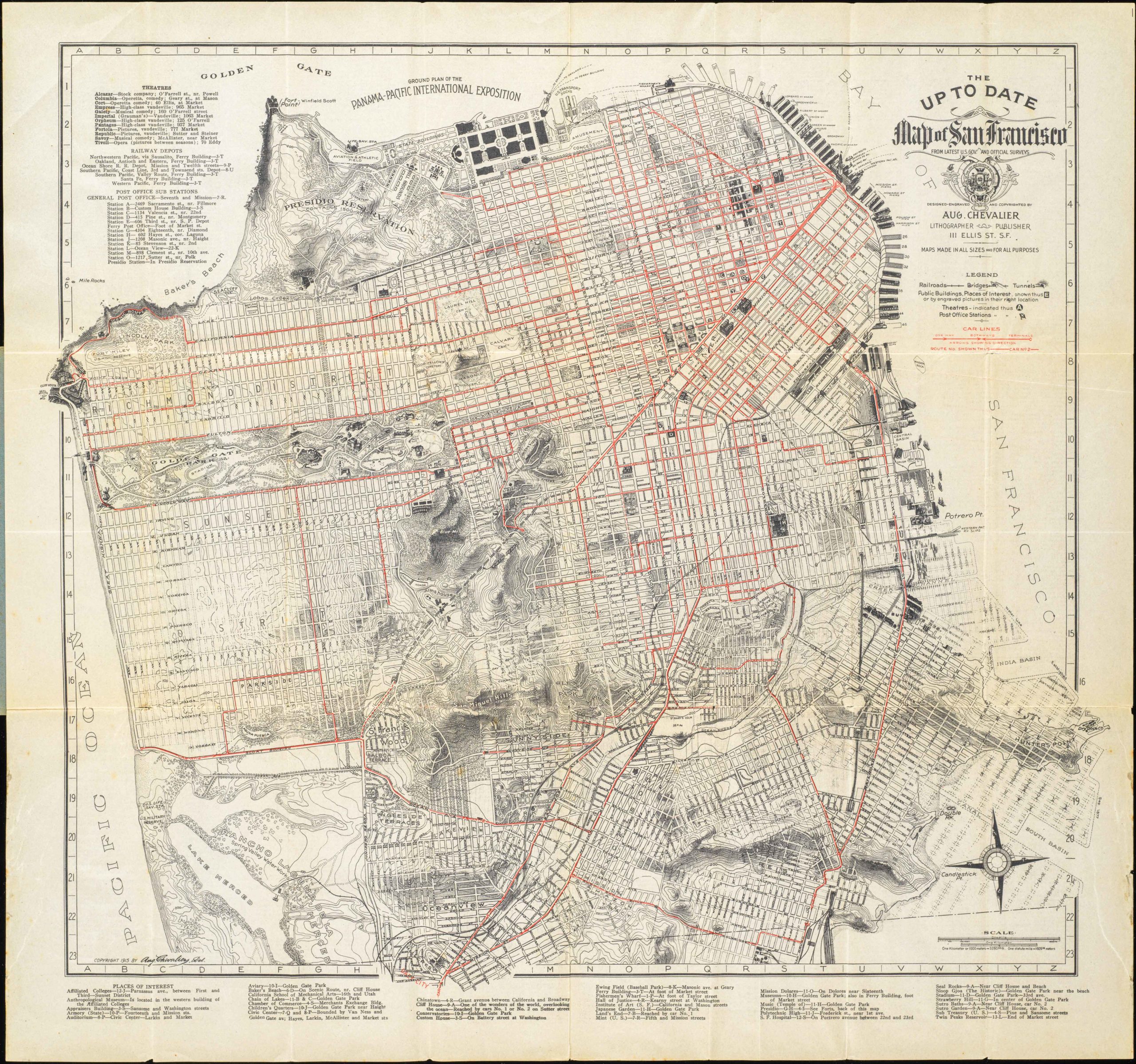
A very rare 1866 bird’s eye view of Lone Mountain in San Francisco, looking west over the sand dunes then known as the ‘Outside Lands.’ It predates Golden Gate Park.
Lone Mountain was opened in 1854 within the ‘box’ formed by today’s California Street, Geary Boulevard, Parker Avenue, and Presidio Avenue, and was much larger than the city’s pre-existing cemeteries. It was planned with future urban growth in mind and conformed to the rising trend of locating cemeteries on the outskirts of cities and designing them like grand country parks (the pathways running through the cemetery were even named after cemeteries out east that inspired it, such as Mt. Auburn and Green-wood).
Eventually expanding to cover 320 acres, Lone Mountain was later subdivided due to legal and financial troubles, creating the Laurel Hill, Calvary, Masonic, and Odd Fellows Cemeteries. In their brief existence, these cemeteries housed the remains of many of the leading figures of early San Francisco history, including mayors and U.S. Senators.
However, the cemeteries’ financial troubles continued, and they began to fall into a state of disrepair. Moreover, the planners of the 1850s had underestimated the rate of the city’s growth, and in order to free up space for development, in addition to public health concerns, a movement grew from the late 19th century to relocate the graves somewhere further from the city. The ‘City Cemetery,’ which opened in 1870 in the area at the background here (later Lincoln Park) faced a similar debate.
At the turn of the 20th century, San Francisco’s Board of Supervisors banned any further burials in the city and purchased large tracts of land further down the peninsula in Colma with the aim of relocating graves from Lone Mountain. Legal battles raged for decades afterward, including a case that reached the U.S. Supreme Court in 1910. However, by the 1930s, the public interest overrode the concerns of families of the deceased, and the graves were relocated with the help of the Works Progress Administration (WPA). As families had to pay for the relocation of gravestones and many could not, or there were no families to contact for the deceased, the remaining gravestones were broken and reused for sea walls and rain gutters. Today, the San Francisco Columbarium, built in 1898, is all that remains of the cemeteries that once dominated the area.
The road running along the left side of this view is the Point Lobos toll road, the basis for Geary Boulevard. In the years before this view’s publication, the original Cliff House had opened at its terminus, and the toll road replaced what had been a rough dirt track, making it more accessible to city residents. Otherwise, the outside lands were a collection of windswept sand dunes frequented by hunters and highwaymen, and as a result, had a reputation as a dangerous and foreboding place. But in the following decades, greater development took place in what later became the Richmond District, aided by the opening of railway and streetcar lines.
As for Lone Mountain, much of the lands of the former cemeteries were developed for residential and commercial use. Masonic Cemetery, built on the hill at left, south of Geary Boulevard, became the campus of the University of San Francisco, now known as the ‘Lone Mountain Campus,’ leading to confusion over the historical use of the term ‘Lone Mountain’ and its exact location. Other portions of the cemeteries were used for the University of California San Francisco’s Laurel Heights campus and Rossi Park.
Census
This view was drawn by Charles Gifford and published by Louis Nagel in 1866. It is highly rare, with the only other known example being held by the University of California Berkeley’s Bancroft Library as part of the Robert B. Honeyman Jr. Collection of Early Californian and Western American Pictorial Material.
The present example came from the collection of the late, esteemed collector Charles A. Fracchia.
Cartographer(s):
Charles Braddock Gifford (1829 – November 17, 1888) was an American draughtsman, landscape artist, lithographer, and painter of city views based in and around San Francisco in the late 19th century. Gifford was born in New Bedford, Massachusetts, and worked there as a carpenter until about 1855, around which time he headed west to seek his fortune. By 1860, Gifford had established himself as a lithographer and landscape artist in San Francisco. His wife, Josephina, was from Nicaragua, and his earliest views include scenes of Mission Dolores, Vallejo, and Santa Clara. Gifford collaborated first with publisher Louis Nagel and subsequently with Bancroft. He began producing views in 1860 and continued to issue new views with various publishers until about 1877. He is best known for his highly ambitious 1862 view of the city on five large panels measuring some 9 feet across, published with A. Rosenfeld. He issued approximately fifteen views in total, most of which were of greater San Francisco. Gifford died in San Mateo in 1888.
Louis NagelLouis Nagel (July 28, 1818 – August 10, 1870) was a printer and lithographer active in the early decades of San Francisco. Born in Germany, Nagel emigrated to New York City in the early 1840s and set up shop as a printer with Adam Weingärtner. By 1858, he had relocated to San Francisco and continued to work as a printer, including collaborations with Charles Gifford, which are among the most important early views of the city.
Condition Description
Very good. Backed with archival paper repairing a few tears, a faint vertical crease.
References