Ralph Carlyle Prather’s sweeping 1922 panoramic view of the Rocky Mountains.
Prather’s Aerial View of the Rocky Mountain National-Estes-Park
Out of stock
Description
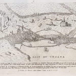
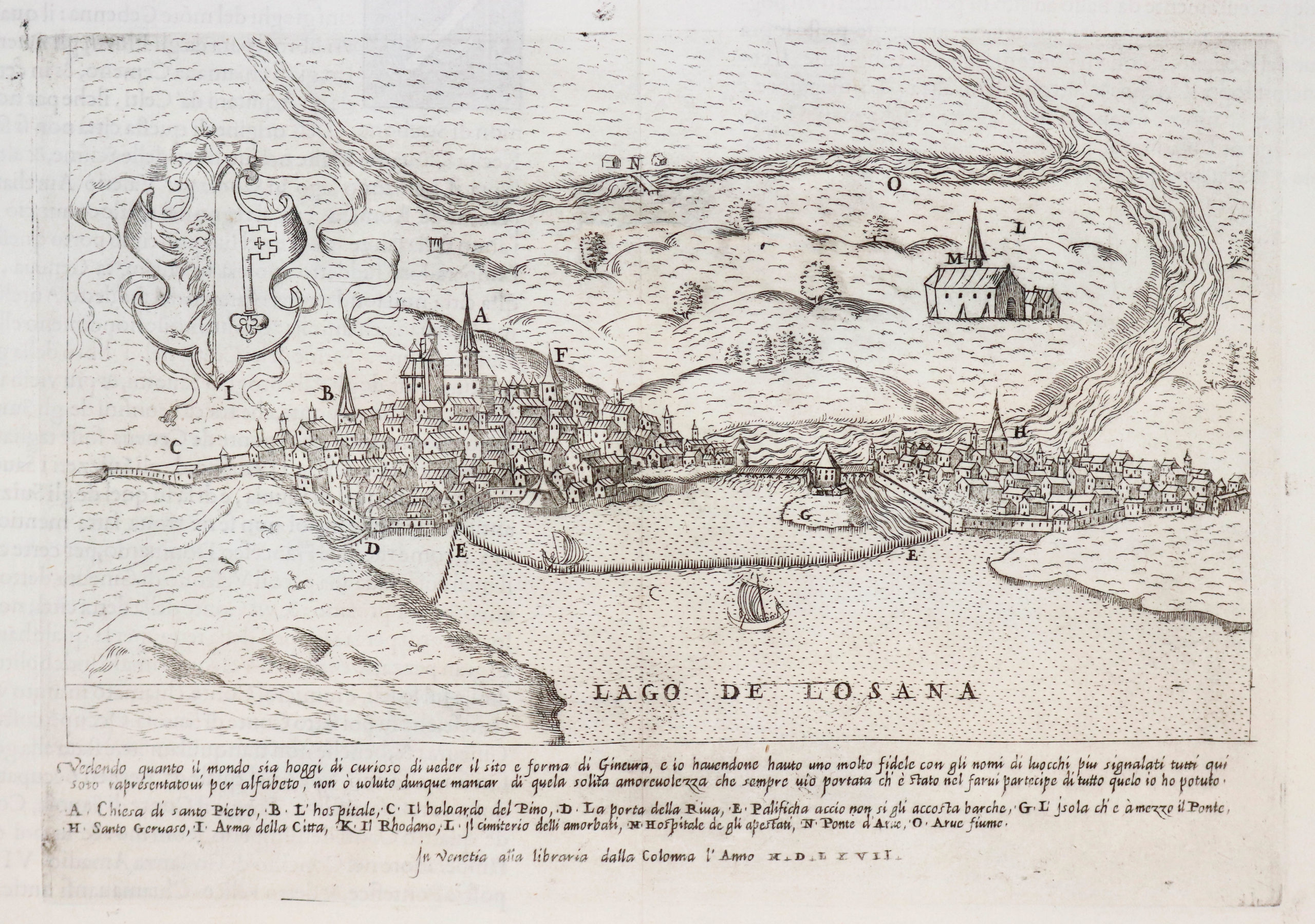
This rare and dramatic view depicts a magnificent section of Rocky Mountain National Park from a bird’s-eye perspective, looking east-southeast. In the foreground, at lower left, we see the summer resort town of Estes Park, Colorado. Indeed, the view is a kind of ode to summer in the mountains; as Prather himself states on the map, he has sought to capture the park’s rugged wonder such as it is “remembered by the average motorist and hiker.”
The view has been created using chromolithography, and Prather has chosen a straightforward color palette in order to emphasize forests, valleys, and the famous jagged heights of the Rockies. This is more than a tourist road map; it is a celebration of the beauty of this particular American landscape. That said, the map was also designed to be functional, and could have been used to plan a trip to the region. It stretches from My. Olympus (8,808 ft) on the left to Specimen Mountain (12,482 ft) on the far right. If we follow the view between the two, we see Longs Peak (14,255 ft), Chief’s Head (13,579 ft), the Medicine Bow Mountains, and many more. Off in the distance sit the cities of Fort Collins, Loveland, and Denver, as well as Pike’s Peak (14,110 ft).
In the lower left corner we see the Stanley Hotel, the inspiration for the Overlook Hotel in Stephen King’s 1977 bestselling novel The Shining. It was built by Freelan Oscar Stanley of Stanley Steamer fame and opened on July 4, 1909, as a resort for upper-class Easterners and a health retreat for sufferers of pulmonary tuberculosis. The hotel and its surrounding structures are listed on the National Register of Historic Places.
Cartographer(s):
Ralph Carlyle Prather (1889-1953) was an American illustrator active in the first half of the 20th century. A pupil of Charles Livingston Bull, Prather worked on a wide variety of projects, from wildlife drawings for magazines, to separately-published maps and panoramic views.
In 1918, Prather published Prather’s Aeroplane Map of the World’s Battle Field. This was followed by two fantastic views, Prather’s Aerial View of Denver Mountain Parks and Mt. Evans Region, and Prather’s aerial view of the Rocky Mountain National Estes Park.
Condition Description
Map is in good condition, some minor tears expertly repaired. Cover in good condition, envelope shows wear.
References