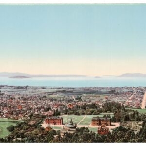
Map of Santa Clara County showing topography, geography, post offices, school houses, county roads, etc. Compiled for the San Jose Board of Trade
$450
Map of Santa Clara County with Bay Area inset
Out of stock
Cartographer(s):
H.X. Van de Casteele
Date:
1887
Place:
San Jose
Dimensions:
25. x 31.8 cm (10 x 12½ in)
Add to Wishlist
Add to Wishlist
Description
Rare little map of Santa Clara County, California, which appeared in “Santa Clara County, California,” Vol. 1, no. 1 (Sept. 1887). It depicts important buildings, roads, and rail lines, as well as a street grid of San Jose.
One copy is listed in OCLC/WorldCat, at the University of California, Berkeley; there is a variant, dimensions not given, at Stanford, with “Christmas Herald 1887” printed beneath the title.
Cartographer(s):
Condition Description
Old folds, very good.
References