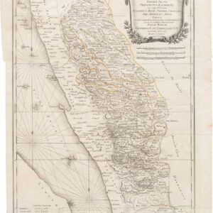
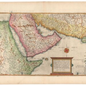
1814 Thomson map of Arabia with caravan routes.
Arabia, Egypt, Abyssinia, Red Sea &c.
Out of stock
Description
Detailed map focused on the Arabian Peninsula, the Horn of Africa (noted as myrrh and incense country), the Red Sea, and the Persian Gulf.
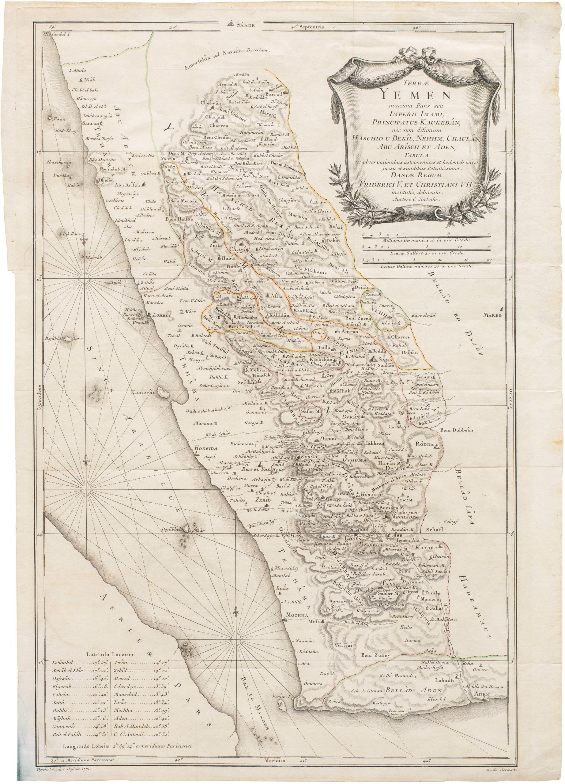
The context of this map is to be viewed in the long history of European mapping of the Arabian Peninsula, beginning with Ptolemaic maps of the late 15th and 16th century to Gastaldi’s maps of 1548 and 1562 to the increase scientific rigor of French cartographers up until the Danish expedition and maps of Carsten Niebuhr. This cartographic arc saw the gradual elimination of invented features and errors, an increased accuracy of the shape and orientation of the peninsula.
Here then we have a truly modern map of Arabia. A large Empty Quarter desert is depicted without the need to fill it with spurious mountain ranges or river systems. New important information such as caravan routes across Africa to Mecca and Cairo have been added, with water sources indicated. We thus see the Arabian Peninsula taking shape, not just topographically, but conceptually as well.
Cartographer(s):
Condition Description
Faint crease in Horn of Africa which occurred during printing; near fine, a nice impression.
References
