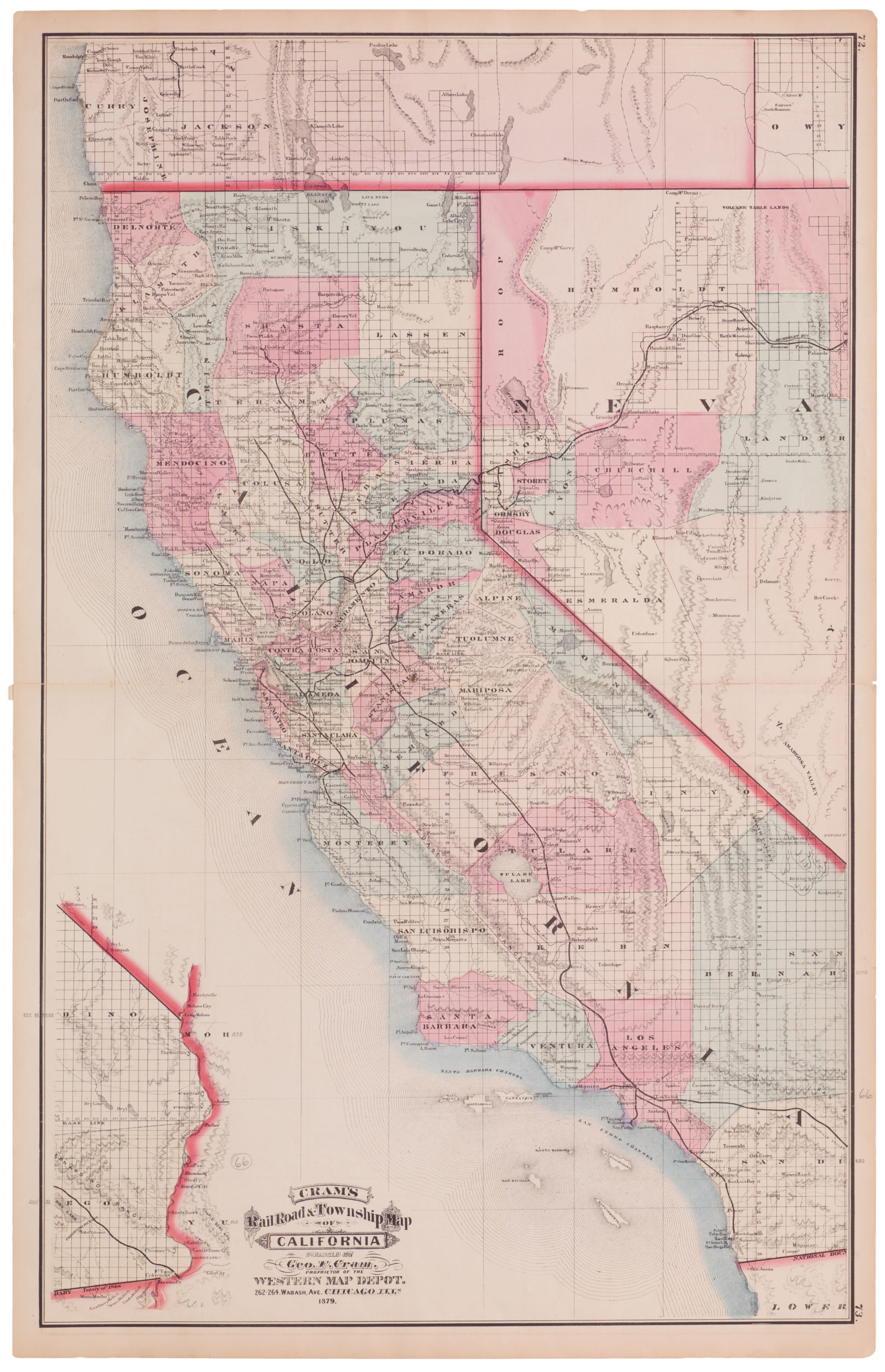
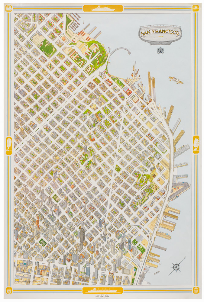
Cram’s end of 19th century California map with color-coded rail lines and Bay Area inset
California
Out of stock
Cartographer(s):
George F. Cram
Date:
ca. 1894
Place:
Chicago
Dimensions:
58.4 x 40.6 cm (23 x 16 in)
Add to Wishlist
Add to Wishlist
Description
Detailed railroad map of California, showing counties, railrorad lines, towns, rivers, township surveys, lakes, mountains, creeks, waterfalls, and a host of other information.
From Cram’s scarce American Railway Atlas.
Includes key naming approximately 30 railroads, coded by colors.
Cartographer(s):
Condition Description
Small chip in upper right corner; else very good.
References

