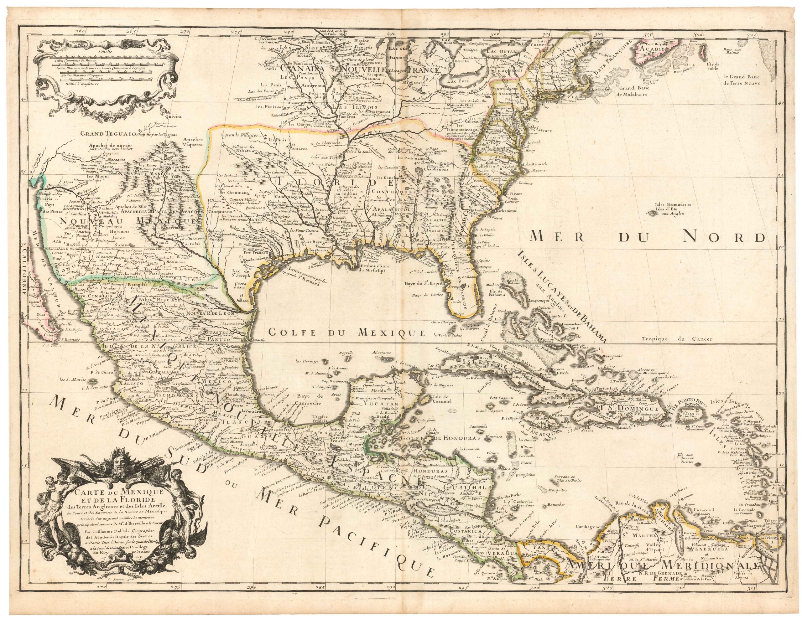
French map of the United States with California Gold Region
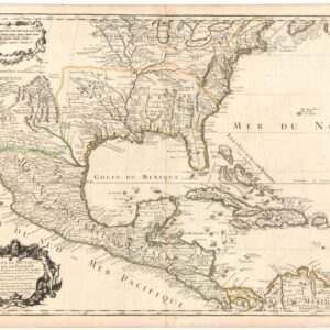
Carte Générale Du Théâtre De La Guére dans les États-Unis de L’Amérique avec Une Carte du Mexique pour suivre les Opérations Militaires
Out of stock
Description
Hand-colored map with inset of Mexico and four insets of U.S. cities.
A reissue of E. Herisson’s map of Etats-Unis de l’Amerique, 1826; geographically the only changes, which are substantial, are in California. Warren Heckrotte describes the map at some length:
“In California the Gold Region is shown by dotted lines and color. The only town in the Gold Region is Sutterville on the American River. Russian Establishment and Fort Ross are shown. The Great Basin is based on Humboldt; the route of the Escalante Expedition is clearly shown. There is an east west mountain range running in an irregular line from the Rockies in northern New Mexico east through Missouri to the Mississippi.
The northern part of the west is largely based on Lewis and Clark. Oregon Territory is labeled District de la Columbie and extends north to an irregular line at the highest about 54 degrees. At the time the map was published the dispute with the Brits over Oregon territory had been settled and the Mexican War was over. Possibly the map was first issued earlier at the time of the war and then reissued with the inclusion of the gold region.” He also comments that the map is “not listed in Wheat’s Maps of the Gold Region. A rare or scarce map, [and] though hardly significant that is true of many of the maps in Wheat.”
Cartographer(s):
Condition Description
Short tear in the Atlantic off Florida neatly repaired with archival tape on verso.
References
For earlier state issued under Herisson's name, 1826, W-TW 371. This later state not in W-GR or W-TW. The new Tooley Dictionary lists an A. Bes, citing one map, ca 1869. F. Dubreuil is not listed.

