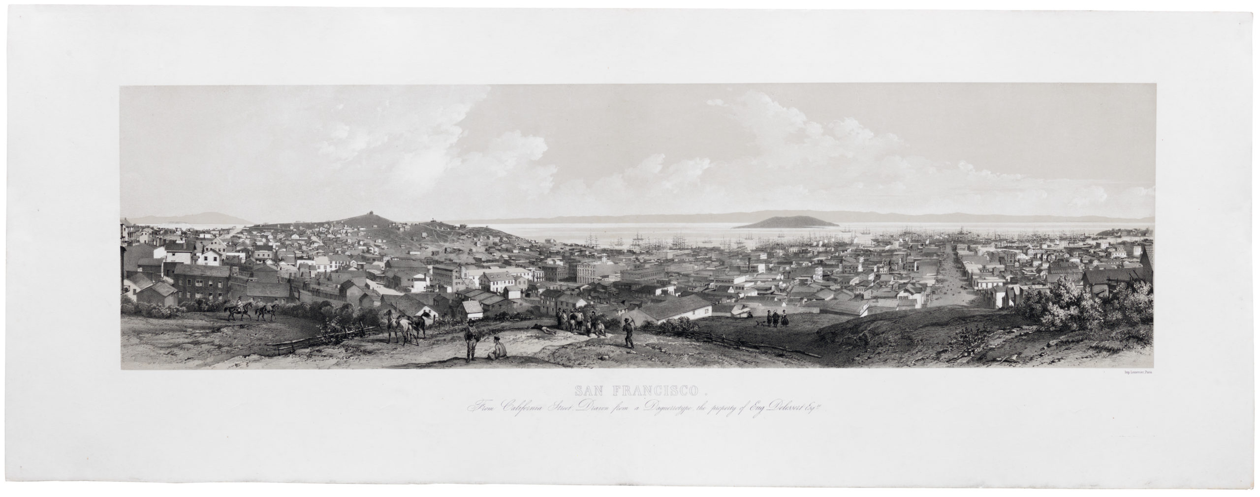
Striking late 19th century Coast Survey topographical chart of San Francisco Peninsula.
San Francisco Peninsula. U.S. Coast Survey. Benjamin Peirce, Superintendent. 1869. Price $1.50. Verified J.E. Hilgard. Assist Coast Survey. In Charge of Office.
Out of stock
Description
A fine heavy stock example of the scarce U.S. Coast Survey map of San Francisco Peninsula. The map depicts the immediate city of San Francisco and surrounding areas as far south as San Pedro and Millbrae Station, including the San Francisco – San Jose rail line. This is one of the first Coast Survey charts that we have seen that uses contour lines, other than the 1859 City of San Francisco and Its Vicinity.
This map was first published in 1869 as plate #14 in the Report of the Superintendent of the United States Coast Survey, Showing the Progress of the Survey During the Year 1869. All examples from the report are on thin tissue paper and exhibit considerable wear and toning on the original fold lines.
*The present example is a re-strike form the original plate pressed under the auspice U.S. Coast and Geodetic Survey, an organization that came into existence in 1879. It is on heavy stock and bears the U.S.C & G. S. imprint and code, 3055, in the lower right corner, just outside the original margin. Although the date of this printing is not specified, it is most likely between 1880 and 1890.
Cartographer(s):
The Office of Coast Survey is the official chartmaker of the United States. Set up in 1807, it is one of the U.S. government’s oldest scientific organizations. In 1878 it was given the name of Coast and Geodetic Survey (C&GS). In 1970 it became part of the National Oceanic and Atmospheric Administration (NOAA).
The agency was established in 1807 when President Thomas Jefferson signed the document entitled “An act to provide for surveying the coasts of the United States.” While the bill’s objective was specific—to produce nautical charts—it reflected larger issues of concern to the new nation: national boundaries, commerce, and defense.
Alexander Dallas Bache, great-grandson of Benjamin Franklin, was the second Coast Survey superintendent. Bache was a physicist, scientist, and surveyor who established the first magnetic observatory and served as the first president of the National Academy of Sciences. Under Bache, Coast Survey quickly applied its resources to the Union cause during the Civil War. In addition to setting up additional lithographic presses to produce the thousands of charts required by the Navy and other vessels, Bache made a critical decision to send Coast Survey parties to work with blockading squadrons and armies in the field, producing hundreds of maps and charts.
In 1871, Congress officially expanded the Coast Survey’s responsibilities to include geodetic surveys in the interior of the country, and one of its first major projects in the interior was to survey the 39th Parallel across the entire country. Between 1874 and 1877, the Coast Survey employed the naturalist and author John Muir as a guide and artist during the survey of the 39th Parallel in the Great Basin of Nevada and Utah. To reflect its acquisition of the mission of surveying the U.S. interior and the growing role of geodesy in its operations, the U.S. Coast Survey was renamed the United States Coast and Geodetic Survey (USC&GS) in 1878.
Condition Description
Very good. Thick stock. Original pressmark visible.
References
Rumsey 2648.000.


![PORT OF SAN FRANCISCO. WHERE THE FAR EAST BEGINS [Japanese language version]](https://neatlinemaps.com/wp-content/uploads/2021/01/NL-00879_Thumbnail-300x300.jpg)
![PORT OF SAN FRANCISCO. WHERE THE FAR EAST BEGINS [Japanese language version]](https://neatlinemaps.com/wp-content/uploads/2021/01/NL-00879_Thumbnail.jpg)