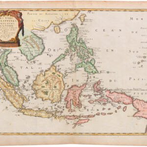
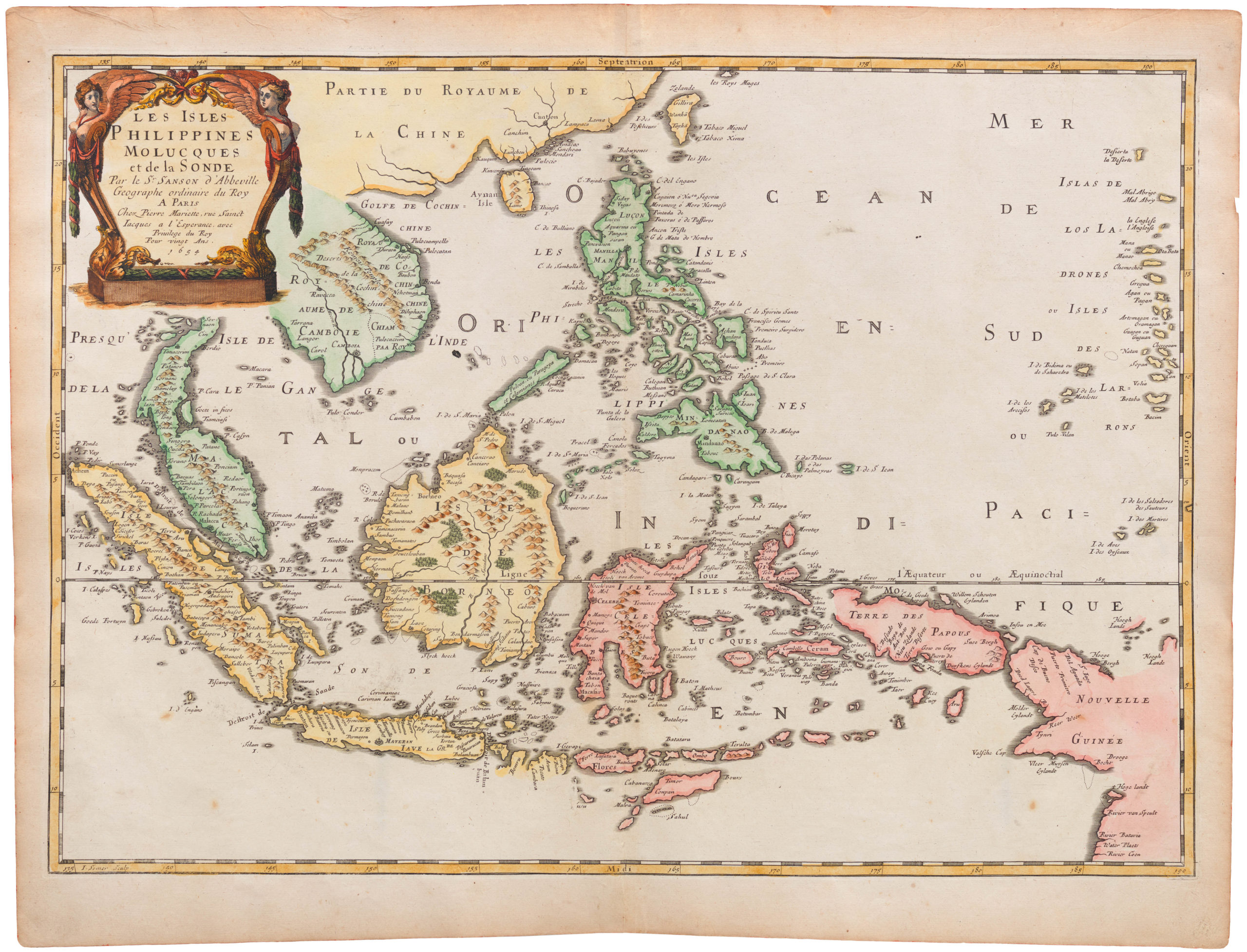
Gorgeous Dutch map of the southern Malay peninsula, Sumatra, Borneo, and Java.
Le Royaume de Siam avec les Royaumes qui luy sont Tributaires…
Out of stock
Description
This is the southern half of a two-part map, though each sheet was issued separately. It covers most of the Singapore Straights, with Sumatra, nearly all of Borneo, Java, the southern tip of the Malay peninsula, and more.
Cartographer(s):
Joachim Ottens (1663 – 1719) and his sons Renier and Joshua were prominent Dutch booksellers and map publishers from about 1680 to 1790. Joachim, the founder of the firm, was initially employed as a copperplate engraver by Frederick de Wit. In 1711 Joachim founded his own firm. Though Joachim died only a few years later, his sons Renier and Joshua took over the firm and presided over its most prolific period.
Condition Description
Some foxing and offsetting.
References
Parry, D., The Cartography of the East India Islands, Insulae Indiae Orientalis, p. 177. National Library of Australia, MAP RM 184.
