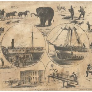
The first widely disseminated map of settlements and key places at San Francisco.
Plan du Port de St. François, Situé su la côte de la Californie Septentrionale. La Pointe de Rois par 37o.59′. de Latitude Nord et 124o.54′. de Longitude Occidentale
Out of stock
Description
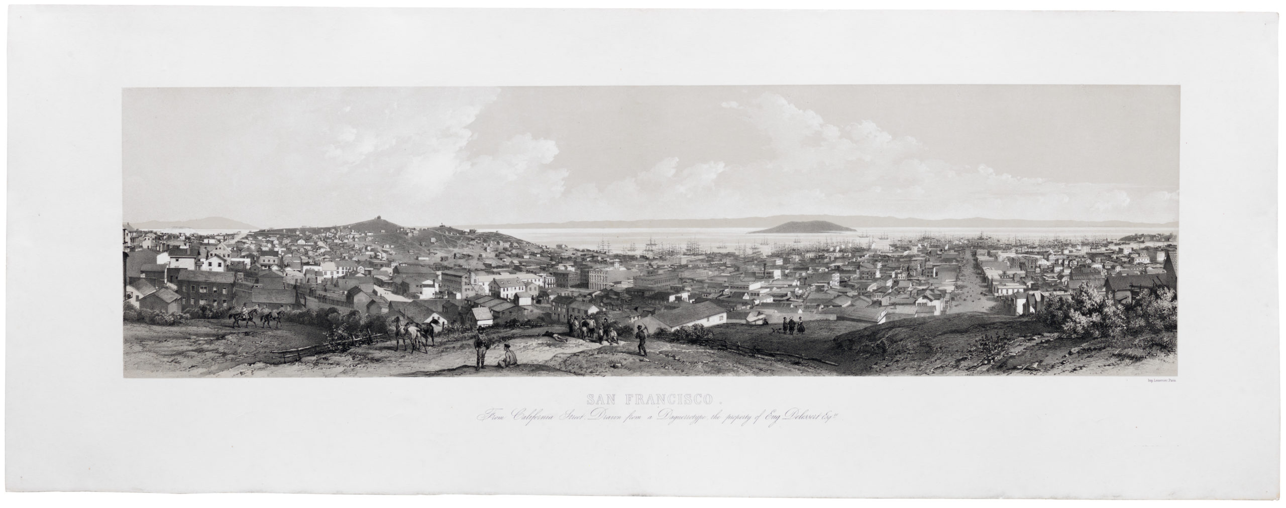
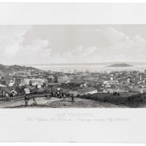
The world’s first detailed look at San Francisco.
This map depicts the port, harbor, and bay of San Francisco, as delineated by French Naval officer and explorer La Pérouse while on his voyage around the world (one he was never to complete, disappearing in the vast reaches of the Pacific).
This map is a very early depiction of many key topographic features that characterized San Francisco at the end of the 1700s. Consider this timeline:
1769 – Portolà’s Spanish exploration party becomes the first documented European sighting of San Francisco Bay.
1776 – In the same year as the Declaration of Independence, San Francisco is dedicated; Mission San Francisco de Asís (Mission Dolores), was established by Fra. Junípero Serra, and a military fort was built, the Presidio of San Francisco (which are marked, respectively, H and F on the map).
1786 – La Pérouse visits San Francisco and writes a detailed account, which along with this map is published in 1797.
Other features noted in the map key include:
Laguna del Merced (B), shown emptying into the Pacific Ocean.
Laguna del Presidio (C), Mountain Lake, where Portolà and his men camped when they first came here.
Pequena Laguna (G), what would in the later 18th century be known as ‘Washerwoman’s Lagoon,’ the origin of today’s Laguna St.
Ile de los Angeles (K), Angel Island
Ile de Alcatraces (J), Alcatraz
We have thus a remarkable document of San Francisco history, a key map for collectors interested in the city.
From the atlas volume of the first edition of La Pérouse’s voyage, plate no. 33.
Cartographer(s):
Jean François de Galaup, comte de Lapérouse (23 August 1741 – 1788 ca.) was a French Naval officer and explorer whose famous expedition vanished in Oceania. His naval career began when he entered the French Navy college in Brest at the age of fifteen. Over the years, he participated in various naval campaigns, among other things, earning the esteemed rank of Commodore for his victory over the English frigate ARIEL in the West Indies. He also played a significant role in the Battle of the Saintes and gained recognition by capturing two English forts along the coast of Hudson Bay.
In 1785, La Perouse was appointed to lead an expedition around the world by Louis XVI and his Secretary of the Navy, the Marquis de Castries. The aims of the expedition were quite ambitious, intending to sail and map regions such as Chile, Hawaii, Alaska, California, East Asia, Japan, Russia, Australia, and the South Pacific. The entire expedition vanished mysteriously after leaving New South Wales in March 1788. They were en route to New Caledonia, the Solomons, and the western and southern coasts of Australia. No member of the expedition was ever heard from again.
Condition Description
Rub mark at lower right corner; very good or better.
References

![5-sheet set showing San Francisco’s post-1906 earthquake water supply [SF’s first fireboat!]](https://neatlinemaps.com/wp-content/uploads/2022/03/NL-01375-sheet-4_thumbnail-scaled-300x300.jpg)
![5-sheet set showing San Francisco's post-1906 earthquake water supply [SF's first fireboat!]](https://neatlinemaps.com/wp-content/uploads/2022/03/NL-01375-sheet-4_thumbnail-scaled.jpg)