A beautiful example of Faust’s large-format map of San Francisco.
Faust’s map of city and county of San Francisco, California.
Out of stock
Description
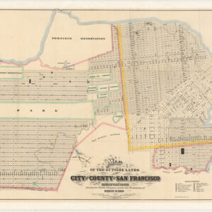
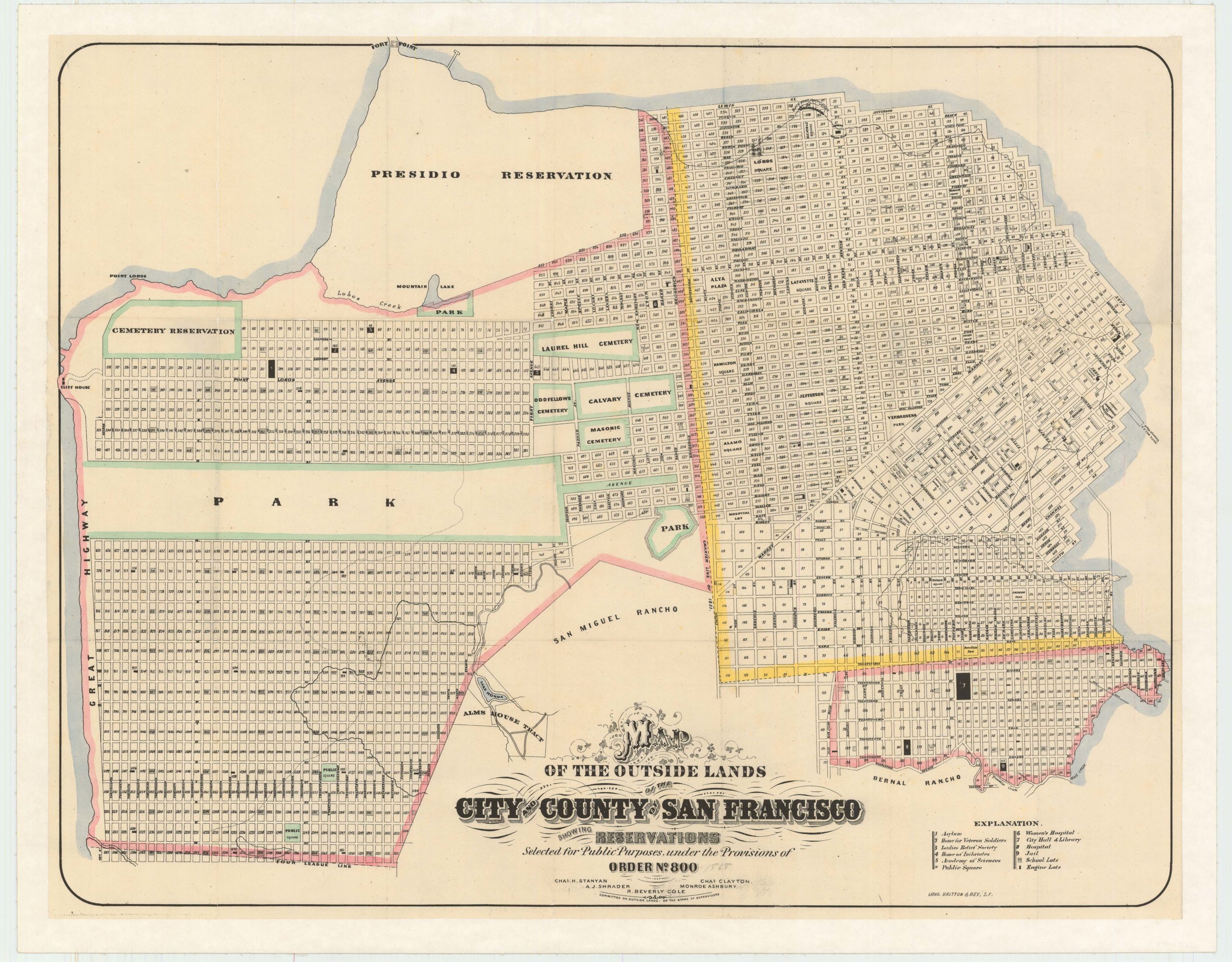
This is a 1901 map of San Francisco published by Henry W. Faust. It features Faust’s distinctive green and yellow color scheme and is in excellent condition, having been expertly backed to give it strength and stability. As such, it is an ideal example for display on a wall.
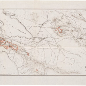
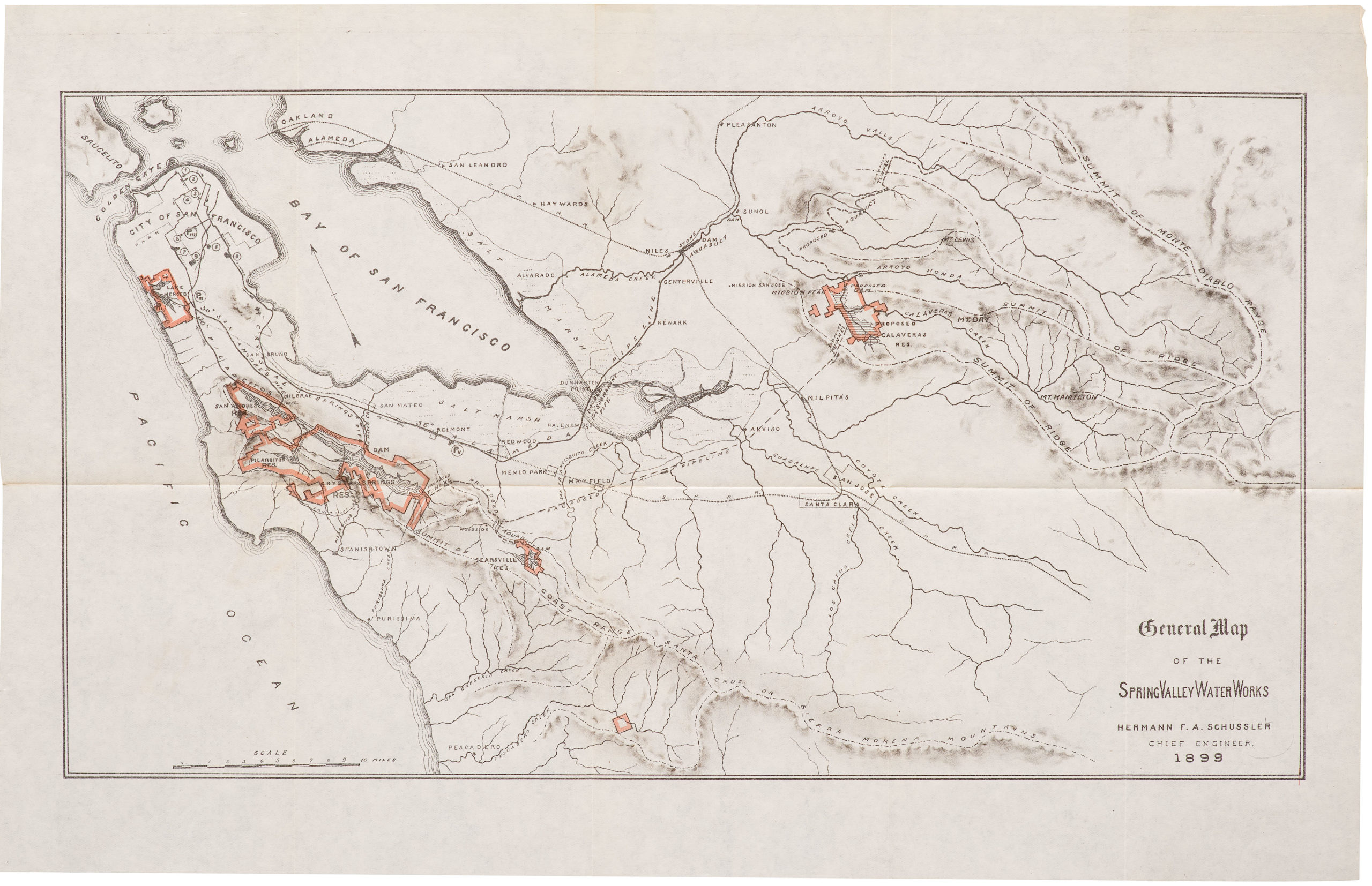
The map depicts many interesting 19th century features of the city, including Sutro Baths and Heights, the railway at today’s Land’s End, old rancho designations, waterworks, new land developments, the Lone Mountain cemeteries, and more.
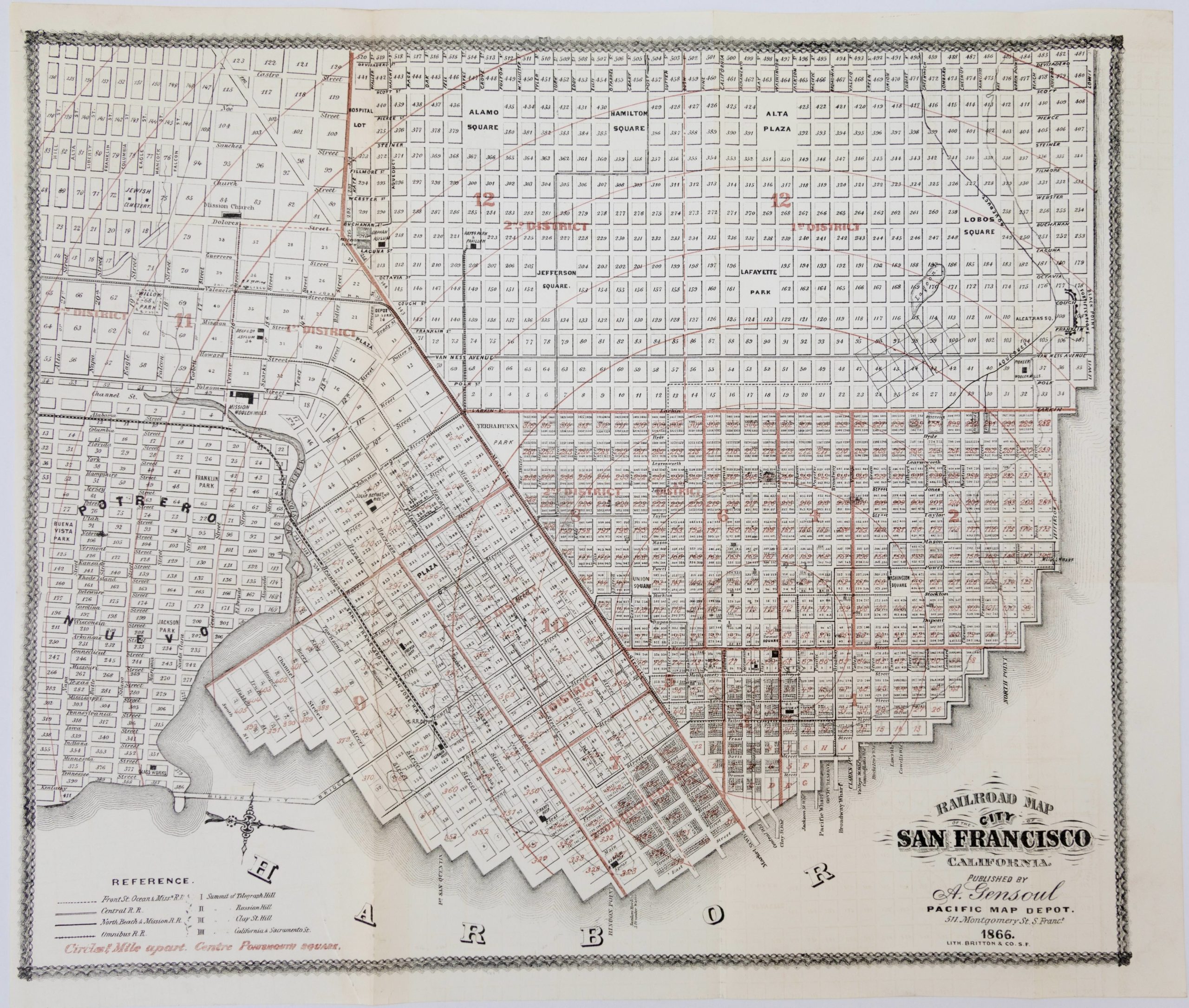
The map was originally folded as part of a street guide. As such, it has a particular focus on transportation infrastructure. In 1901, San Francisco had an extensive network of cable cars and horse-drawn streetcars for public transportation. The cable car system was a unique feature of the city, allowing residents and visitors to traverse its hilly terrain efficiently.
Several spurious street names are shown in the Marina, including Tonguin and Lewis. These were planned to be on landfill but were never actually created; Tonguin street is instead Marina Boulevard and Lewis is Marina Green Drive.
Context is everything
In 1901, San Francisco was a vibrant and rapidly growing city on the west coast of the United States. It was a key port city and a hub of economic, cultural, and technological developments during that time. Its economy was primarily driven by trade, shipping, and manufacturing. The city’s strategic location along the Pacific Coast made it a vital gateway for international trade with Asia and other parts of the world.
The population of San Francisco in 1901 was around 340,000 people. The city attracted a diverse mix of immigrants from different countries, including China, Japan, Italy, and Ireland, contributing to its cultural richness.
Overall, San Francisco in 1901 was a bustling and dynamic city, with a diverse population, a strong economy, and a rich cultural scene. The city’s fortunes changed drastically only five years after this map was published: the major earthquake that struck on April 18, 1906, caused widespread devastation, resulting in significant loss of life and property damage. The long-term consequence of the disaster was that Los Angeles supplanted San Francisco as California’s most important urban center.
Cartographer(s):
Henry W. Faust issued at least seventeen editions of his map of San Francisco both in pocket form (accompanied by a street directory, city guide, or both, or neither) and as wall maps. All editions of this map are uncommon and sought after.
Condition Description
Excellent. Unlike other examples, which are printed on thin and fragile paper, this one has been expertly backed with archival paper to give it strength. Minor offsetting visible in certain areas.
References
![PORT OF SAN FRANCISCO. WHERE THE FAR EAST BEGINS [Japanese language version]](https://neatlinemaps.com/wp-content/uploads/2021/01/NL-00879_Thumbnail-300x300.jpg)
![PORT OF SAN FRANCISCO. WHERE THE FAR EAST BEGINS [Japanese language version]](https://neatlinemaps.com/wp-content/uploads/2021/01/NL-00879_Thumbnail.jpg)