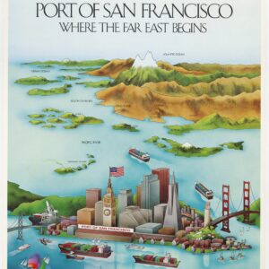
A delightful and imaginative 1964 cartoon map of San Francisco.
The Little Old Lady’s Guide to San Francisco.
$275
In stock
Description
A particularly fun piece of San Franciscana, this is the “Little Old Lady’s Guide,” a whimsical map of the city, along with its original covers. Executed in a hand-drawn pictorial style, it is an artistic representation of the city’s landmarks, neighborhoods, and attractions.
The map stretches from the San Bruno Mountains in the south to southern Marin County in the north. It was published in 1964 and shows now-gone San Francisco landmarks like Candlestick Park and San Francisco Playland, a historic amusement park located at Ocean Beach, known for its iconic Giant Dipper roller coaster and various attractions, which operated from 1928 to 1972.
We see a variety of still-existing landmarks as well, depicted in a playful, colorful, and exaggerated style. These include illustrations of the Golden Gate Bridge, Alcatraz Island, Coit Tower, and the Ferry Building. Other aspects that make San Francisco famous are present as well: its hills and cable cars, neighborhoods like Haight-Ashbury, Chinatown, and Fisherman’s Wharf, and the Mission District, each showcasing their distinct features and cultural references to the Beat Generation, hippie culture, and other significant cultural aspects of the 1960s in San Francisco.
Cartographer(s):
Condition Description
Very good. Originally bound in accompanying booklet guide.
References


![[Sutro Baths] ON THE SHORE OF THE PACIFIC OCEAN](https://neatlinemaps.com/wp-content/uploads/2021/02/NL-00887_Thumbnail-300x300.jpg)
