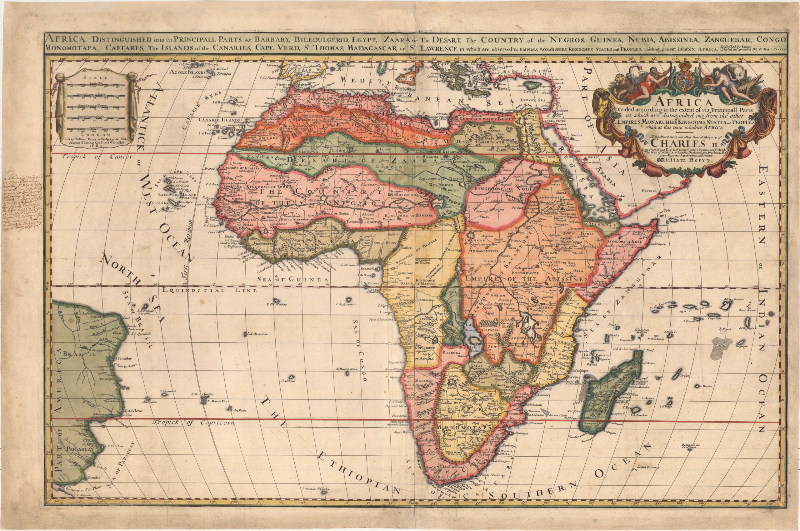
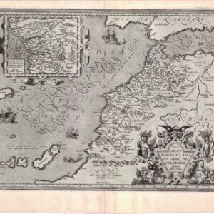
Coronelli’s majestic double-sheet map of Africa.
L’Africa Divisa nelle sue Parti secondo le piu moderne relationi colle scoperte dell’ Origine, e corso del Nilo.
$3,200
1 in stock
Description
Vincenzo Maria Coronelli’s two-sheet map of Africa, titled L’Africa Divisa nelle sue Parti secondo le piu moderne relationi colle scoperte dell’ Origine, e corso del Nilo, represents a striking example of the very best that late 17th-century cartography had to offer. This map, crafted as part of Coronelli’s prestigious project, the Atlante Veneto (1691), does not just showcase his meticulous attention to detail and commitment to incorporating up-to-date geographical information but is a tour de force in aesthetics and artistry associated with post-Renaissance mapmaking.
In addition to its geographical accuracy, Coronelli’s map is adorned with captivating decorative elements, setting it apart from many contemporary charts. The western sheet features a large title cartouche surrounded by indigenous animals, while the east sheet depicts a dramatic scene in Central Africa. The large and stunning vignette surrounds an explanatory scroll. It is complete with angels, an incense burner, a globe, and a symbolic figure symbolizing the river and holding an amphora from which its endless waters flow. At his feet lies one of the famed Nilotic crocodiles.
This bold and vibrant reference to the Nile is no coincidence. Its stable cycle of inundation and ebb had formed the foundation for history’s first great civilization. Since Antiquity, geographers have been equally fascinated and confounded by the source of the Nile. In the mid-17th century, scholarship remained in the dark regarding the mysterious source of this great river. By then, however, the Ptolemaic concept of the Mountains of the Moon no longer carried any significant weight, and alternative explanations had to be sought. Coronelli proudly claims to be the first to correctly describe the source of the Nile as Lake Tsana in Abyssinia. Coronelli’s riverine configuration is remarkably accurate for his time, and the flashy large vignette is explicitly designed to underscore his credibility by stressing his sources.
The Saharan interior is also remarkably detailed, including pictorial depictions of mountains and a bestiary of local fauna. Place names abound, and an array of riverine systems reveal that knowledge of and interest in Africa has changed significantly over the last century. Along the continent’s coasts, several important islands and archipelagos are also shown in considerable detail. Along the west, this includes the Canaries and Cap Verde islands, as well as São Tomé and Principe in the Bay of Guinea. Along the east coast, a large archipelago surrounds the island of Madagascar, revealing the growing French interest in breaching the Indian Ocean.
Coronelli’s map of Africa exemplifies his unsurpassed skill and unique access to the latest sources, but more than that, it embodies his dedication to advancing geographical knowledge.
Context and census
This gorgeous double-sheet map of Africa was originally published as part of the inaugural volume of Coronelli’s prestige atlas, the Atlante Veneto (1691). The Atlante was conceived as a continuation of Willem Blaeu’s Atlas Maior. In addition to the compendium of geographical and scientific knowledge, the Atlante included an essential treatise on globe-making. It was extended and reprinted several times so that by 1701, it consisted of no less than twelve volumes. This ambitious endeavor solidified Coronelli’s reputation as one of the leading cartographers of his day.
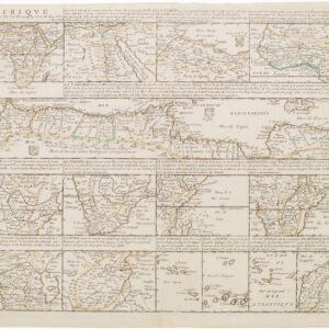
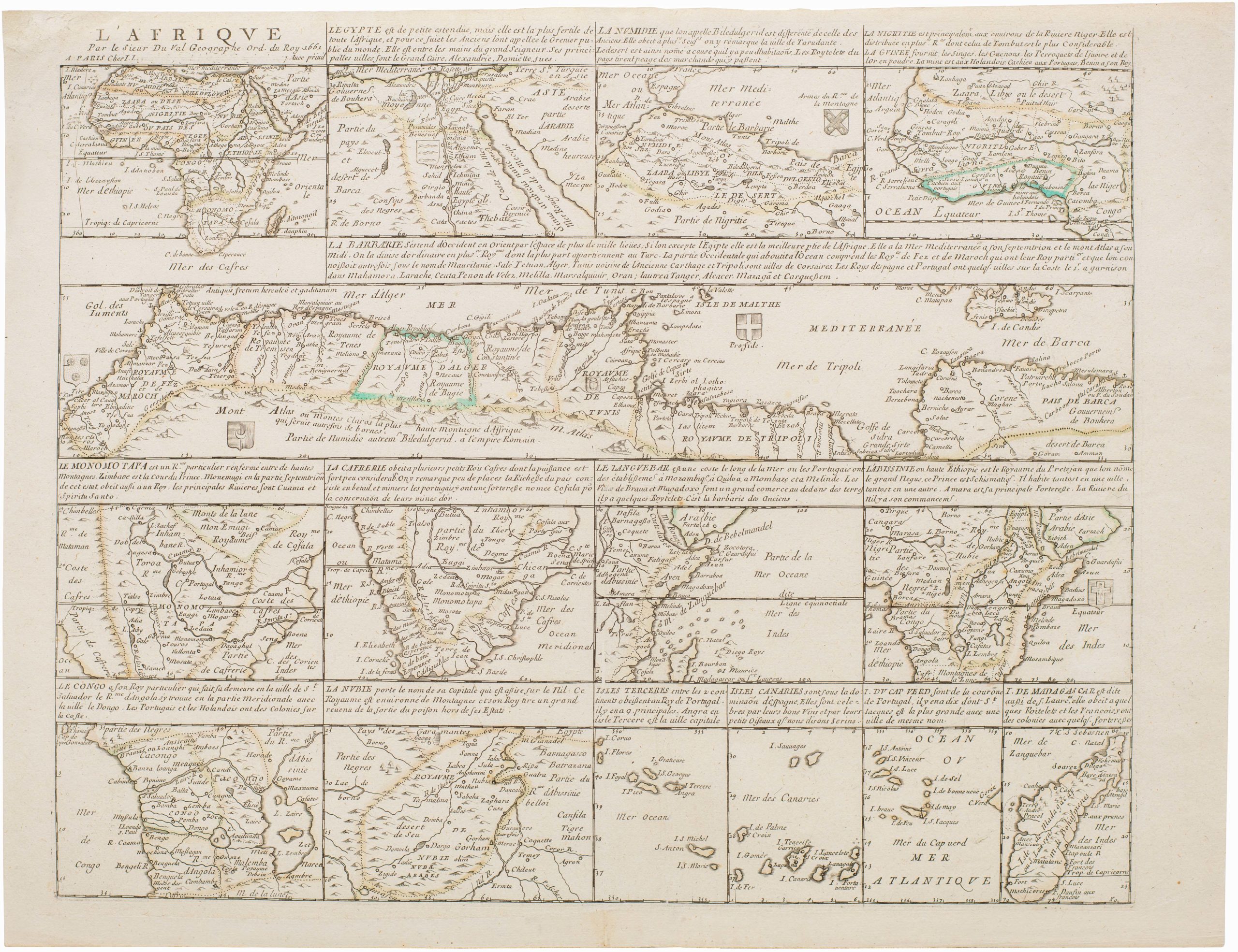
This sought-after map of the African continent represents the first state of two and was originally published in the first volume of Atlante Veneto. It drew upon the African maps of French mapmakers like Sanson (1668), Jaillot (1674), and Duval (1678) and deliberately sought to incorporate the latest geographical insights.
The OCLC lists only three institutional examples: one at the Biblioteca Nazionale in Rome (no. 1277312273), one at the Sächsische Landesbibliothek in Dresden (no. 799113272), and one at the Klassik Stiftung in Weimar (no. 837639998).
Cartographer(s):
Vincenzo Maria Coronelli (1650 – 1718) was a Franciscan printer, cartographer, and globe-maker from Venice. Due to his religious background, many of his charts have been signed P. Coronelli, meaning Père or ‘Father’, and referring to his status as a friar of the Franciscan Order. He was appointed official cosmographer for the city of Venice and was later employed as royal cartographer to the King of France. In particular the latter position meant that he had access to the latest records and materials from French pioneers and voyages of exploration. This caused many of his charts to be cutting-edge innovations that redefined the newly discovered parts of the world in an entirely novel fashion. It also meant that Coronelli would have no scruples in declaring uncontested or virgin land in the New World as part of Nouvelle France. This is exemplified in Coronelli’s celebrated 1685 chart of Western Canada or Nouvelle France, in which the official French territories have been expanded thousands of miles to the west and south, so that most of the Midwest, including the Mississippi Valley, has been subsumed under a French claim.
Coronelli’s access to the latest French sources and intelligence is part of what has made his maps so cartographically decisive and collectible. An example of this is found in his 1688 chart of upper Mexico and the Rio Grande (modern Arizona, California, and parts of New Mexico). This map was, at the time of its publication, one of the most detailed and accurate maps of the Rio Grande on the market. The detailed information conveyed in Coronelli’s map came directly from Diego Penalosa, the Spanish governor of New Mexico (1661-63) who turned rogue and provided the French King with a wealth of strategic geographical information. His ambition was to lure the French into attacking New Mexico from the neighboring territory of Louisiana. Despite the controversial source of his information (or perhaps precisely because of it), Coronelli does not hesitate to lay credit where credit is due, and mentions Penalosa directly in the map’s cartouche.
Condition Description
Very good.
References
Norwich 56; R.L. Betz "The Mapping of Africa..." (2007), map 153.